
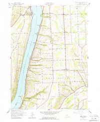
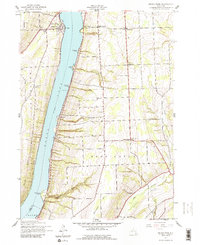
1942 Map of Keuka Park
USGS Topo · Published 1960About this map
Keuka Lake dominates this 1942 landscape, its deep waters flanked by the steep, vineyard-draped hills of the Finger Lakes region. At the northern end of the west branch, the campus of Keuka College stands as a primary cultural landmark within Keuka Park. The map reveals a post-Depression rural economy still anchored by small school districts and crossroads hamlets like Second Milo and Barrington.
Find a feature on this map
34 named features on this map. Tap any name to fly to it.
Don’t see what you’re looking for? This feature index may not catch every label — zoom into the map to look around manually.
Map Details
Editions of this 1942 Keuka Park Map
3 editions found
Other maps of this area

1898 · Watkins Glen
USGS Topo · 1:62,500

1901 · Watkins
USGS Topo · 1:62,500

1902 · Ovid
USGS Topo · 1:62,500

1903 · Penn Yan
USGS Topo · 1:62,500

1903 · Hammondsport
USGS Topo · 1:62,500

1905 · Watkins Glen
USGS Topo · 1:125,000

1942 · Penn Yan
USGS Topo · 1:31,680

1942 · Pulteney
USGS Topo · 1:31,680

1942 · Potter
USGS Topo · 1:31,680

1942 · Dundee
USGS Topo · 1:24,000