Loading...
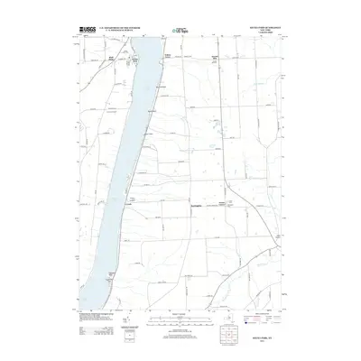
Loading map...1942 Map of Keuka Park
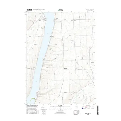
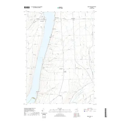
USGS Topo · Published 1988About this map
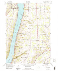
Keuka College sits prominently at the northern edge of this 1942 survey, marking a centered academic and community hub on the eastern shores of Keuka Lake. The map details a period of established lakeside settlement and upland farming across the townships of Jerusalem, Milo, and Barrington. Numerous small schoolhouses, such as School No 8 and School No 4, are scattered through the rural sections, indicating the decentralized educational structure of the mid-20th century Finger Lakes region.
Find a feature on this map
31 named features on this map. Tap any name to fly to it.
Don’t see what you’re looking for? This feature index may not catch every label — zoom into the map to look around manually.
Map Details
Date Portrayed1942
Date Published1988
PublisherU.S. Geological Survey
Map TypeTopographic
Scale1:24,000
Physical Dimensions22.1 x 27 inches
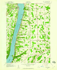
Editions of this 1942 Keuka Park Map
3 editions found
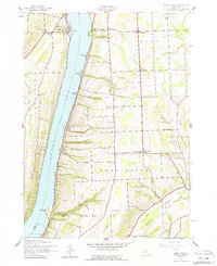
Historical Maps of Milo Through Time
6 maps found

Featured Locations
Source Details
SourceU.S. Geological Survey
CopyrightPublic Domain