
1905 Map of Watkins Glen
USGS Topo · Published 1905About this map
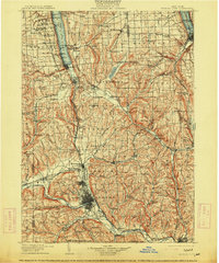
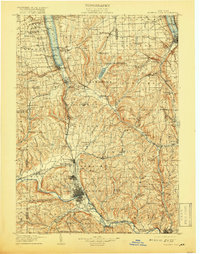
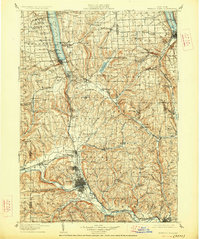
Seneca Lake and Cayuga Lake dominate the northern landscape of this 1905 survey, which covers a critical corridor of the Finger Lakes region. The map documents the intricate rail networks of the era, including the Northern Central RR and Erie RR, which facilitated trade and travel between established hubs like Elmira and Ithaca. Natural landmarks and recreational sites of the early twentieth century are clearly marked, such as the famous Watkins Glen and the cascades at Enfield Falls and Buttermilk Falls.
Find a feature on this map
172 named features on this map. Tap any name to fly to it.
Don’t see what you’re looking for? This feature index may not catch every label — zoom into the map to look around manually.
Map Details
Editions of this 1905 Watkins Glen Map
4 editions found
Other maps of this area

1893 · Ithaca
USGS Topo · 1:62,500

1895 · Ithaca
USGS Topo · 1:62,500

1895 · Elmira
USGS Topo · 1:62,500

1898 · Moravia
USGS Topo · 1:62,500

1898 · Watkins Glen
USGS Topo · 1:62,500

1900 · Tioga
USGS Topo · 1:62,500

1900 · Dryden
USGS Topo · 1:62,500

1901 · Watkins
USGS Topo · 1:62,500

1902 · Waverly
USGS Topo · 1:62,500

1902 · Moravia
USGS Topo · 1:62,500