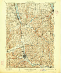
1905 Map of Watkins Glen
USGS Topo · Published 1927About this map
Watkins and Elmira anchor this Southern Tier and Finger Lakes landscape during a period of intense railway development. The map illustrates a complex transportation corridor where the Northern Central RR and Lehigh Valley RR navigate the steep glaciated valleys between Seneca Lake and the Chemung River. The distribution of smaller settlements like Millport, Lower Pine Valley, and Sullivanville reveals the historical importance of the valley floors for both transit and commerce. Notable landmarks such as Havana Glen and Connecticut Hill rise above the deep lake basins, while the southern portion of the sheet shows the industrial and residential core of Elmira and neighboring Horseheads. This survey captures the region just as the 19th-century post office network, including Chambers P.O., remained a vital part of rural infrastructure.
Find a feature on this map
153 named features on this map. Tap any name to fly to it.
Don’t see what you’re looking for? This feature index may not catch every label — zoom into the map to look around manually.
Map Details
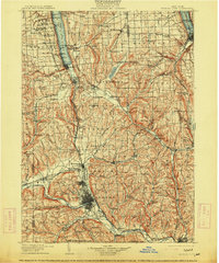
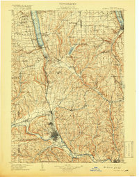
Editions of this 1905 Watkins Glen Map
4 editions found

Other maps of this area

1893 · Ithaca
USGS Topo · 1:62,500

1895 · Ithaca
USGS Topo · 1:62,500

1895 · Elmira
USGS Topo · 1:62,500

1898 · Moravia
USGS Topo · 1:62,500

1898 · Watkins Glen
USGS Topo · 1:62,500

1900 · Tioga
USGS Topo · 1:62,500

1900 · Dryden
USGS Topo · 1:62,500

1901 · Watkins
USGS Topo · 1:62,500

1902 · Waverly
USGS Topo · 1:62,500

1902 · Moravia
USGS Topo · 1:62,500