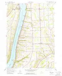
1942 Map of Keuka Park
USGS Topo · Published 1988About this map
Keuka Lake dominates this Finger Lakes landscape, where the steep shoreline is dotted with historic landmarks like Keuka College and the village of Keuka Park. Surveyed in the early 1940s, the terrain rises sharply from the water toward Barrington Hill and Glen Hill, revealing a rural infrastructure defined by a network of one-room schoolhouses, including School No 1 and School No 8.
Find a feature on this map
32 named features on this map. Tap any name to fly to it.
Don’t see what you’re looking for? This feature index may not catch every label — zoom into the map to look around manually.
Map Details
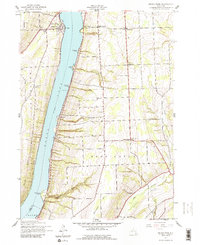
Editions of this 1942 Keuka Park Map
3 editions found

Other maps of this area

1898 · Watkins Glen
USGS Topo · 1:62,500

1901 · Watkins
USGS Topo · 1:62,500

1902 · Ovid
USGS Topo · 1:62,500

1903 · Penn Yan
USGS Topo · 1:62,500

1903 · Hammondsport
USGS Topo · 1:62,500

1905 · Watkins Glen
USGS Topo · 1:125,000

1942 · Penn Yan
USGS Topo · 1:31,680

1942 · Pulteney
USGS Topo · 1:31,680

1942 · Potter
USGS Topo · 1:31,680

1942 · Dundee
USGS Topo · 1:24,000