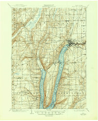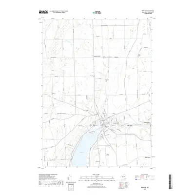
1942 Map of Penn Yan
USGS Topo · Published 1960About this map
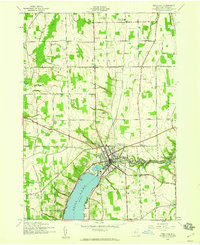
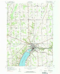
Penn Yan serves as the focal point of this 1942 Finger Lakes survey, positioned at the northern tip of the Y-shaped Keuka Lake. The landscape reveals a dense concentration of small mills along the Outlet stream flowing east, including Keuka Mills, Milo Mills, and Seneca Mills, illustrating the historical importance of water power in this region. The surrounding townships of Benton, Milo, and Jerusalem are characterized by a systematic grid of rural schools, such as School No 5 and School No 11, and several family-named burial grounds like Baldwin Cem and Cole Cem. A significant transportation corridor is defined by the Pennsylvania railroad line, which passes through the village and connects to northern points via Bellona Sta. The presence of a small Airport and a Gaging Station near the lakefront reflects the modernizing infrastructure of the early 1940s.
Find a feature on this map
39 named features on this map. Tap any name to fly to it.
Don’t see what you’re looking for? This feature index may not catch every label — zoom into the map to look around manually.
Map Details
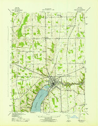
Editions of this 1942 Penn Yan Map
4 editions found
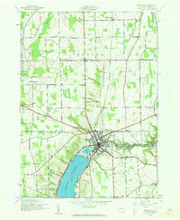
Historical Maps of Milo Through Time
7 maps found