
1942 Map of Middlesex
USGS Topo · Published 1942About this map
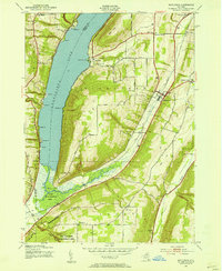
Canandaigua Lake dominates the western edge of this 1942 survey, where steep shoreline points like Whiskey Pt and Seneca Pt define the glacial landscape of the Finger Lakes. The settlement of Middlesex serves as a central hub for the surrounding agricultural uplands, connected by the Lehigh Valley railroad line. To the south, the West River flows through the High Tor Game Management Area near Woodville, marking a significant transition from open water to marshy lowlands and forested ridges like South Hill.
Find a feature on this map
56 named features on this map. Tap any name to fly to it.
Don’t see what you’re looking for? This feature index may not catch every label — zoom into the map to look around manually.
Map Details
Editions of this 1942 Middlesex Map
4 editions found
Other maps of this area

1900 · Naples
USGS Topo · 1:62,500

1900 · Canandaigua
USGS Topo · 1:62,500

1902 · Phelps
USGS Topo · 1:62,500

1903 · Naples
USGS Topo · 1:62,500

1903 · Canandaigua
USGS Topo · 1:62,500

1903 · Penn Yan
USGS Topo · 1:62,500

1913 · Naples
USGS Topo · 1:62,500

1942 · Naples
USGS Topo · 1:31,680

1942 · Prattsburg
USGS Topo · 1:31,680
1942 · Bristol Springs
USGS Topo · 1:31,680