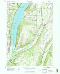
1942 Map of Middlesex
USGS Topo · Published 1974About this map
Canandaigua Lake dominates the western edge of this landscape, its deep blue waters meeting the steep rises of South Hill and Bare Hill. In the early 1940s, the rural character of the Finger Lakes region was defined by small settlements like Middlesex and Vine Valley, connected by the Lehigh Valley railroad line. The map illustrates a high density of rural schoolhouses, from School No 2 at Overacker Corners to School No 6 near the Johnson Cem, reflecting a landscape of decentralized farming communities before post-war consolidation. To the south, the High Tor Game Management Area occupies the rugged terrain between Clark Gully and Conklin Gully, preserving the steep-walled glens and ridges that feed the West River marshlands. Genealogists will find numerous family-named landmarks and cemeteries, including Coy Cem and Wolven Cem, tucked away along routes like Italy Valley Road.
Find a feature on this map
51 named features on this map. Tap any name to fly to it.
Don’t see what you’re looking for? This feature index may not catch every label — zoom into the map to look around manually.
Map Details
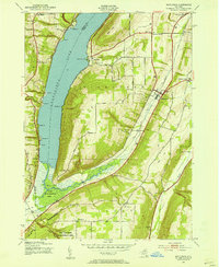
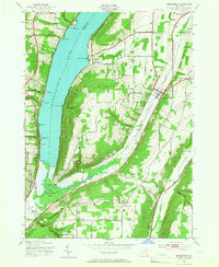
Editions of this 1942 Middlesex Map
4 editions found

Other maps of this area

1900 · Naples
USGS Topo · 1:62,500

1900 · Canandaigua
USGS Topo · 1:62,500

1902 · Phelps
USGS Topo · 1:62,500

1903 · Naples
USGS Topo · 1:62,500

1903 · Canandaigua
USGS Topo · 1:62,500

1903 · Penn Yan
USGS Topo · 1:62,500

1913 · Naples
USGS Topo · 1:62,500

1942 · Naples
USGS Topo · 1:31,680

1942 · Prattsburg
USGS Topo · 1:31,680
1942 · Bristol Springs
USGS Topo · 1:31,680