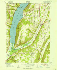
1942 Map of Middlesex
USGS Topo · Published 1954About this map
Canandaigua Lake dominates the western landscape of this mid-century survey, its eastern shoreline dotted with points such as Whiskey Pt and Sunnyside Point. The terrain rises sharply from the water toward Bare Hill and South Hill, where the deep ravines of Clark Gully and Conklin Gully cut through the uplands. In the low-lying Parish Flat, the West River flows through the High Tor Game Management Area toward the lake's southern tip.
Find a feature on this map
49 named features on this map. Tap any name to fly to it.
Don’t see what you’re looking for? This feature index may not catch every label — zoom into the map to look around manually.
Map Details
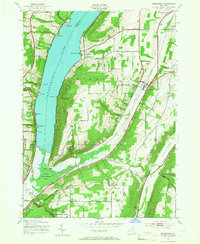
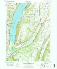
Editions of this 1942 Middlesex Map
4 editions found

Other maps of this area

1900 · Naples
USGS Topo · 1:62,500

1900 · Canandaigua
USGS Topo · 1:62,500

1902 · Phelps
USGS Topo · 1:62,500

1903 · Naples
USGS Topo · 1:62,500

1903 · Canandaigua
USGS Topo · 1:62,500

1903 · Penn Yan
USGS Topo · 1:62,500

1913 · Naples
USGS Topo · 1:62,500

1942 · Naples
USGS Topo · 1:31,680

1942 · Prattsburg
USGS Topo · 1:31,680
1942 · Bristol Springs
USGS Topo · 1:31,680