2020s Maps of Hermon, New York
Explore 6 historic maps of Hermon from the 2020s. These maps offer a rare glimpse into what life looked like during the 2020s — showing old roads, neighborhoods, homes, and landmarks that have changed or disappeared over time.
Whether you're researching your family's past, planning a metal detecting trip, or studying how Hermon's landscape evolved across the 2020s, these high-resolution maps are a powerful tool for exploring the history of this region.
- Focus on a specific era: All maps on this page are from the 2020s, giving you a focused view of this time period.
- See what’s changed: Compare century-old streets, trails, and buildings to today's modern landscape using overlays and satellite layers.
- Research with precision: Use these maps for genealogy, historical research, land use analysis, or educational projects.
- View, download, or print: Maps are fully viewable online in high resolution, and can be downloaded or printed for your own records.
Start exploring Hermon's history through authentic maps from the 2020s. This is your window into the past.
Hermon, NY maps
(6)- 2023 Map of Bigelow, 2023 Print
 2023 Bigelow2023 Print · USGSSt. Lawrence County is captured in the early twenty-first century, showing a landscape defined by the Oswegatchie River and small crossroads hamlets. Researchers can trace local lineages through East DeKalb Cem and locate old points like Kents Corners or Moss Ridge.
 - 2023 Map of Edwards, 2023 Print
 2023 Edwards2023 Print · USGSSt. Lawrence County’s river-driven hamlets and industrial sites are captured here in the early twenty-first century. Researchers can trace the legacy of mining and milling through Talcville, Emeryville, and Fullerville, or locate family sites at Riverside Cem and Gulf Cem.
 - 2023 Map of Richville, 2023 Print
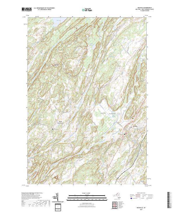 2023 Richville2023 Print · USGSSt. Lawrence County’s rural character is on full display in this modern survey of the Oswegatchie River valley and its surrounding highlands. Genealogists and historians can trace family locations near North Gouverneur, Richville, and the Wayside Cem.
 - 2023 Map of South Edwards, 2023 Print
 2023 South Edwards2023 Print · USGSSaint Lawrence County’s wooded transition into the North Country is captured here in the twenty-first century. Genealogists and hikers can trace the winding Oswegatchie River through South Edwards and locate family landmarks at Pond Settlement or South Russell.
 - 2023 Map of Gouverneur, 2023 Print
 2023 Gouverneur2023 Print · USGSSt. Lawrence County is captured here in the early 2020s, centered on the river-bend village of Gouverneur. Genealogists and local historians can trace family plots at Riverside Cem or explore the rural surroundings of Hailesboro and West Fowler.
 - 2023 Map of Hermon, 2023 Print
 2023 Hermon2023 Print · USGSSt. Lawrence County comes into focus in this recent survey of the North Country, where the Grass River winds through historic hamlets. Genealogists can trace family footprints across Hermon, Russell, and Palmerville, or locate landmarks like Plumb Brook Falls.
End of results
Showing maps 1-6 of 6
Top cities near Hermon
- Potsdam historical maps
- Canton historical maps
- Canton historical maps
- Gouverneur historical maps
- Lisbon historical maps
- Oswegatchie historical maps
See more
Top neighborhoods of Hermon
Frequently asked questions
- What are the different types of historical maps available for Hermon?
- What is the oldest map of Hermon?
- Where can I purchase historical maps of Hermon for my home or office?
- Where can I download high-res historical maps of Hermon?
- Are there historical topographic maps available for Hermon?
- Is there historical aerial imagery available for Hermon?
- Where are historical maps of Hermon sourced from?