Old Maps of Hermon, New York for Academic Research
Study the evolution of Hermon with 46 high-resolution historic maps. Whether you're teaching, researching, or modeling changes in land use, these maps provide essential visual documentation of urban, environmental, and geographic change.
- Analyze long-term change: Track patterns in development, transportation, and natural features.
- Ideal for environmental or urban studies: Support academic projects with primary historical map data.
- Use in the classroom or lab: Educators and researchers rely on these maps to bring historical context to life.
These maps are a powerful tool for teaching, research, and visualizing how Hermon has changed over the decades.
Hermon, NY maps
(46)- 1915 Map of Gouverneur
 1915 Gouverneur1915 Print · USGSSt. Lawrence County comes to life in this early twentieth-century survey of the Oswegatchie River and its surrounding rail-fed towns. Researchers can trace the legacy of rural education and industry through sites like the Fullerville Ironworks, Scotch Settlement, and Ore Bed School.4 unique versions available
 - 1915 Map of Russell, 1958 Print
 1915 Russell1958 Print · USGSSt. Lawrence County was a landscape of remote school districts and family-named crossroads when this survey was conducted during the First World War. Local historians can trace the foundations of the regional iron industry at the Clifton Furnace Ruins or locate vanished rural centers like Pond Settlement and Whippoorwill Corners.
 - 1918 Map of Russell
 1918 Russell1918 Print · USGSSt. Lawrence County during the First World War era reveals a landscape of isolated farmsteads and rural school districts connected by winding rivers. Researchers can locate long-forgotten sites like the Clifton Furnace Ruins, the Scotland School, and the remote Pond Settlement.5 unique versions available
 - 1937 Map of Gouverneur
 1937 Gouverneur1937 Print · USGSSt. Lawrence County in the early twentieth century shows a landscape defined by the winding Oswegatchie River and a dense network of local school districts. Genealogists can locate family-named landmarks like Hailes Hopyard or rural hubs such as Fullerville Ironworks and Staplin Corners.
 - 1948 Map of Ogdensburg, 1973 Print
 1948 Ogdensburg1973 Print · USGSThe international border along the St Lawrence River comes to life in the late 1940s, showing the vital rail and water connections between New York and Ontario. Researchers can trace the grounds of St Lawrence University, the massive Camp Drum military reservation, and the historic Rideau River and Canal.2 unique versions available
 - 1951 Map of Ogdensburg
 1951 Ogdensburg1951 Print · USGSThe St. Lawrence frontier and the North Country are captured here during the post-war era, from the river ports to the high Adirondacks. Genealogists and historians can trace the rail-and-river economy through Ogdensburg, the Rutland rail lines, and Potsdam.
 - 1953 Map of Ogdensburg
 1953 Ogdensburg1953 Print · USGSThe North Country and St. Lawrence Valley are shown here in the early fifties, just as the region’s rail-and-river economy remained in full swing. Genealogists and historians can trace family-named corners and rural hubs along the Rutland railroad or locate heritage sites near Ogdensburg, Potsdam, and the St Regis Indian Reservation.
 - 1956 Map of Richville, 1958 Print
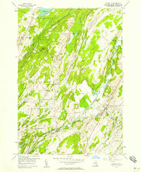 1956 Richville1958 Print · USGSRichville and the surrounding St. Lawrence County countryside appear here in the mid-1950s, centered on the winding Oswegatchie River. Genealogists can locate family landmarks like Staplin Corners, the Welch Ch, and the Maple Grove Cem.3 unique versions available
 - 1956 Map of Gouverneur, 1958 Print
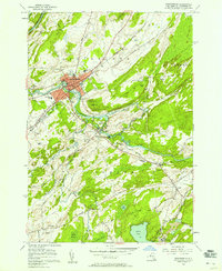 1956 Gouverneur1958 Print · USGSThe industrial and civic heart of St. Lawrence County comes to life in the mid-1950s as the railroad and river drive local growth. Researchers can trace family roots through sites like Riverside Cemetery, explore the mining operations at No 3 Shaft, or locate the old Fowler Sch.2 unique versions available
 - 1956 Map of Bigelow, 1958 Print
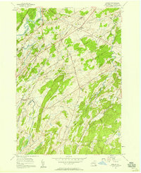 1956 Bigelow1958 Print · USGSMid-century St. Lawrence County is captured here as a landscape of small hamlets and dairy-country roads connected by the New York Central Railroad. Genealogists and local historians can trace family locations near East De Kalb, the Acres Sch, or the West Hermon Cem.2 unique versions available
 - 1956 Map of Edwards, 1958 Print
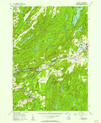 1956 Edwards1958 Print · USGSSt. Lawrence County industry and village life intersect in the mid-1950s along the winding Oswegatchie River. Researchers can trace the layout of Edwards and Fullerville, finding specific locations for Fairview Cem, the Powerplant, and the local High Sch.2 unique versions available
 - 1961 Map of Ogdensburg
 1961 Ogdensburg1961 Print · USGSThe St. Lawrence valley and the Adirondack high country meet in this early sixties survey during a peak era for rail and river commerce. Genealogists and historians can trace the paths of the New York Central railroad through remote settlements like Wanakena, Conifer, and Piercefield.
 - 1966 Map of Hermon, 1971 Print
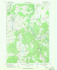 1966 Hermon1971 Print · USGSSt. Lawrence County in the mid-1960s remains a landscape of river-centered villages and rural crossroads settlements. Genealogists and local historians can trace family-named landmarks and old hamlets like Stellaville, Palmerville, and the forest-rimmed Whippoorwill Corners.2 unique versions available
 - 1969 Map of South Edwards, 1971 Print
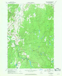 1969 South Edwards1971 Print · USGSSt. Lawrence County in the late sixties shows a landscape of river-driven industry and growing state forests. Researchers can trace the Oswegatchie River through South Edwards, locate the Powerplant, and find sites like Pond Settlement.2 unique versions available
 - 1982 Map of Gouverneur, 1983 Print
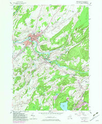 1982 Gouverneur1983 Print · USGSSt. Lawrence County in the early eighties shows a landscape of river-driven industry and deep-rooted community infrastructure. Genealogists and local historians can trace family plots at Riverside Cem or locate industrial sites like No 3 Shaft and Natural Dam.
 - 1985 Map of Gouverneur
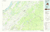 1985 Gouverneur1985 Print · USGSSt. Lawrence and Jefferson Counties are shown in the mid-eighties as a landscape of river-driven industry and expanding military grounds. Genealogists and historians can trace rail lines through Carthage, find local landmarks like Noble Hospital, and locate the boundaries of the Fort Drum Military Reservation.2 unique versions available
 - 2010 Map of Bigelow, 2010 Print
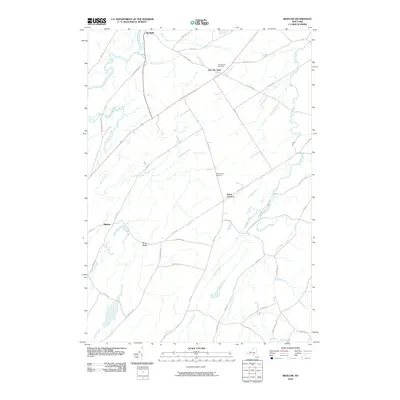 2010 Bigelow2010 Print · USGSNorthern New York's rural landscape is captured here in the early twenty-first century, centered on the Oswegatchie River and De Kalb. Researchers can trace local heritage through sites like East DeKalb Cemetery and follow old routes to Bigelow or Trout Lake.
 - 2010 Map of Edwards, 2010 Print
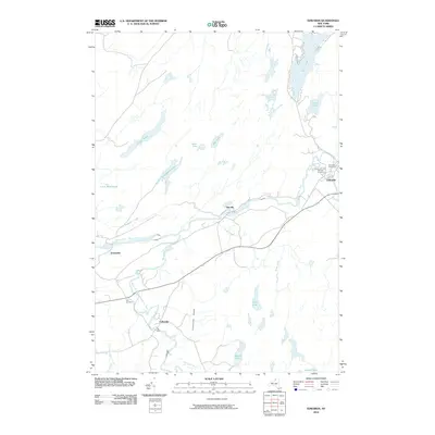 2010 Edwards2010 Print · USGSSaint Lawrence County at the opening of the 21st century reveals a landscape shaped by the Oswegatchie River and its industrial hamlets. Genealogists and historians can trace family locations through Fullerville, Talcville, and three local burial grounds including Fairview Cemetery.
 - 2010 Map of South Edwards, 2010 Print
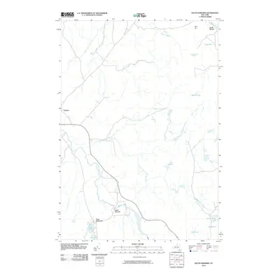 2010 South Edwards2010 Print · USGSSaint Lawrence County at the start of the 21st century reveals a landscape of isolated hamlets and complex river systems. Local historians can trace the rural layouts of South Edwards, South Russell, and Pond Settlement along the winding Oswegatchie River.
 - 2010 Map of Richville, 2010 Print
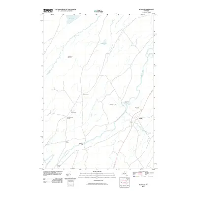 2010 Richville2010 Print · USGSRichville and its surroundings in northern New York are mapped here at the start of the decade, showing a landscape defined by the winding Oswegatchie River. Researchers can locate family landmarks at Maple Grove Cemetery, Staplin Corners, and the historic Peabody Bridge.
 - 2010 Map of Hermon, 2010 Print
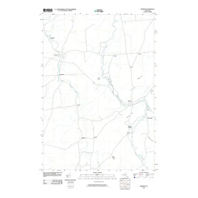 2010 Hermon2010 Print · USGSSaint Lawrence County in the early 2000s remains a landscape of rural crossroads and riverfront hamlets shaped by the Grass River. Researchers can trace old family settlements and landmarks from Whippoorwill Corners and Stalbird to Jacksons Falls.
 - 2011 Map of Gouverneur, 2011 Print
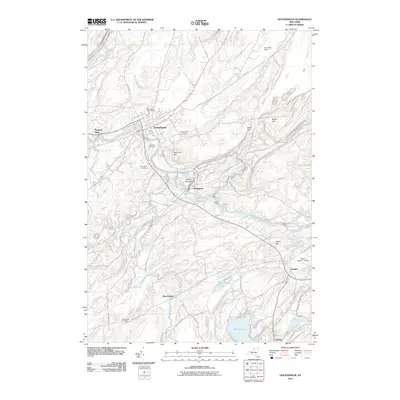 2011 Gouverneur2011 Print · USGSGouverneur and the winding Oswegatchie River valley are captured here in the early twenty-first century. Researchers can trace family history through several local burial grounds like Riverside Cemetery or explore small hamlets such as Hailesboro and Natural Dam.
 - 2013 Map of Richville, 2013 Print
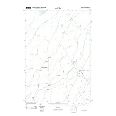 2013 Richville2013 Print · USGSSaint Lawrence County at the start of the 2010s reveals a landscape of quiet rural villages and river crossings. Genealogists can locate family landmarks such as N Gouverneur Cem, Locust Acres, and the historic village of Richville.
 - 2013 Map of Hermon, 2013 Print
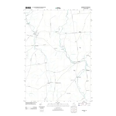 2013 Hermon2013 Print · USGSSaint Lawrence County at the dawn of the 2010s reveals a landscape of enduring crossroads and river-bound villages. Trace the lineage of rural outposts at Whippoorwill Corners and Stellaville, or follow the winding path of the Grass River.
 - 2013 Map of Gouverneur, 2013 Print
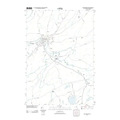 2013 Gouverneur2013 Print · USGSSaint Lawrence County at the start of the 2010s shows a landscape defined by the winding Oswegatchie River and several rural hamlets. Researchers can trace family plots at Riverside Cem or explore the outskirts of Gouverneur near the Gouverneur Fair Grounds.
Showing maps 1-25 of 46
Top cities near Hermon
- Potsdam historical maps
- Canton historical maps
- Canton historical maps
- Gouverneur historical maps
- Lisbon historical maps
- Oswegatchie historical maps
See more
Top neighborhoods of Hermon
Frequently asked questions
- What are the different types of historical maps available for Hermon?
- What is the oldest map of Hermon?
- Where can I purchase historical maps of Hermon for my home or office?
- Where can I download high-res historical maps of Hermon?
- Are there historical topographic maps available for Hermon?
- Is there historical aerial imagery available for Hermon?
- Where are historical maps of Hermon sourced from?