Old Maps of Bucks Bridge, Potsdam for Academic Research
Study the evolution of Bucks Bridge with 14 high-resolution historic maps. Whether you're teaching, researching, or modeling changes in land use, these maps provide essential visual documentation of urban, environmental, and geographic change.
- Analyze long-term change: Track patterns in development, transportation, and natural features.
- Ideal for environmental or urban studies: Support academic projects with primary historical map data.
- Use in the classroom or lab: Educators and researchers rely on these maps to bring historical context to life.
These maps are a powerful tool for teaching, research, and visualizing how Bucks Bridge has changed over the decades.
Bucks Bridge, Potsdam maps
(14)- 1910 Map of Canton, 1956 Print
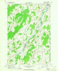
 1910 Canton1956 Print · USGSSt. Lawrence County is captured here in the early twentieth century as a busy corridor of rail travel and river-powered industry. Researchers can locate family homesteads near Crary Mills, Langdon Corners, or the historic Brick Chapel along the Grass River.
 - 1911 Map of Canton
 1911 Canton1911 Print · USGSNorthern St. Lawrence County is captured here in the early twentieth century as a busy corridor of river-powered industry and rail transport. Genealogists and historians can trace the foundations of Canton and Potsdam or locate smaller rural hubs like Brick Chapel and Pyrites.4 unique versions available
 - 1944 Map of Canton
 1944 Canton1944 Print · USGSSt. Lawrence County was a landscape of river-powered hamlets and busy rail corridors during the mid-forties. Researchers can trace the layout of Canton and Potsdam or find smaller family-named junctions like Casey Corners, Langdon Corners, and Slab City.
 - 1948 Map of Ogdensburg, 1973 Print
 1948 Ogdensburg1973 Print · USGSThe international border along the St Lawrence River comes to life in the late 1940s, showing the vital rail and water connections between New York and Ontario. Researchers can trace the grounds of St Lawrence University, the massive Camp Drum military reservation, and the historic Rideau River and Canal.2 unique versions available
 - 1951 Map of Ogdensburg
 1951 Ogdensburg1951 Print · USGSThe St. Lawrence frontier and the North Country are captured here during the post-war era, from the river ports to the high Adirondacks. Genealogists and historians can trace the rail-and-river economy through Ogdensburg, the Rutland rail lines, and Potsdam.
 - 1953 Map of Ogdensburg
 1953 Ogdensburg1953 Print · USGSThe North Country and St. Lawrence Valley are shown here in the early fifties, just as the region’s rail-and-river economy remained in full swing. Genealogists and historians can trace family-named corners and rural hubs along the Rutland railroad or locate heritage sites near Ogdensburg, Potsdam, and the St Regis Indian Reservation.
 - 1961 Map of Ogdensburg
 1961 Ogdensburg1961 Print · USGSThe St. Lawrence valley and the Adirondack high country meet in this early sixties survey during a peak era for rail and river commerce. Genealogists and historians can trace the paths of the New York Central railroad through remote settlements like Wanakena, Conifer, and Piercefield.
 - 1964 Map of Morley, 1965 Print
 1964 Morley1965 Print · USGSSt. Lawrence County in the mid-1960s is defined here by the winding Grass River and the quiet hamlets of Morley and Madrid Springs. Researchers can trace old family roads and locate several remote burial sites, including Doran Cem and St James Cem.2 unique versions available
 - 1985 Map of Ogdensburg, 1986 Print
 1985 Ogdensburg1986 Print · USGSThe St. Lawrence River valley and the northern New York borderlands are shown here in the mid-1980s, during a period of established institutional and collegiate growth. Researchers can trace the paths of CONRAIL through Potsdam or locate local landmarks like Mater Dei College and Rensselaer Falls.2 unique versions available
 - 2010 Map of Morley, 2010 Print
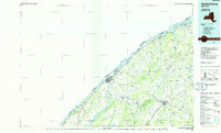
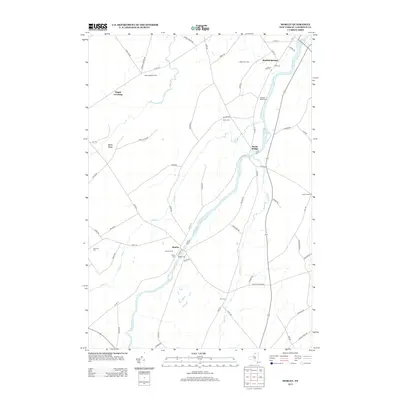
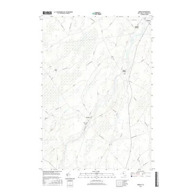
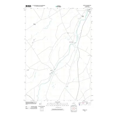 2010 Morley2010 Print · USGSCovers Bucks Bridge, including Potsdam, Canton, and other nearby areas
 - 2013 Map of Morley, 2013 Print
 2013 Morley2013 Print · USGSCovers Bucks Bridge, including Potsdam, Canton, and other nearby areas
 - 2016 Map of Morley, 2016 Print
 2016 Morley2016 Print · USGSCovers Bucks Bridge, including Potsdam, Canton, and other nearby areas
 - 2019 Map of Morley, 2019 Print
 2019 Morley2019 Print · USGSCovers Bucks Bridge, including Potsdam, Canton, and other nearby areas
 - 2023 Map of Morley, 2023 Print
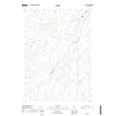
 2023 Morley2023 Print · USGSSt. Lawrence County is captured here in the early twenty-first century, showing a landscape defined by the winding Grass River. Genealogists can trace family sites at Morley Cem and Olin Cem or locate the historic center of Morley.
End of results
Showing maps 1-14 of 14
Top cities near Bucks Bridge
- Potsdam historical maps
- Massena historical maps
- Canton historical maps
- Potsdam historical maps
- Canton historical maps
- Norfolk historical maps
See more
Frequently asked questions
- What are the different types of historical maps available for Bucks Bridge?
- What is the oldest map of Bucks Bridge?
- Where can I purchase historical maps of Bucks Bridge for my home or office?
- Where can I download high-res historical maps of Bucks Bridge?
- Are there historical topographic maps available for Bucks Bridge?
- Is there historical aerial imagery available for Bucks Bridge?
- Where are historical maps of Bucks Bridge sourced from?