2000s (21st Century) Maps of Norwood, Potsdam
Explore 20 historic maps of Norwood from the 2000s (21st Century). These maps offer a rare glimpse into what life looked like during the 2000s — showing old roads, neighborhoods, homes, and landmarks that have changed or disappeared over time.
Whether you're researching your family's past, planning a metal detecting trip, or studying how Norwood's landscape evolved across the 2000s, these high-resolution maps are a powerful tool for exploring the history of this region.
- Focus on a specific era: All maps on this page are from the 2000s, giving you a focused view of this time period.
- See what’s changed: Compare century-old streets, trails, and buildings to today's modern landscape using overlays and satellite layers.
- Research with precision: Use these maps for genealogy, historical research, land use analysis, or educational projects.
- View, download, or print: Maps are fully viewable online in high resolution, and can be downloaded or printed for your own records.
Start exploring Norwood's history through authentic maps from the 2000s. This is your window into the past.
Norwood, Potsdam maps
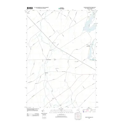
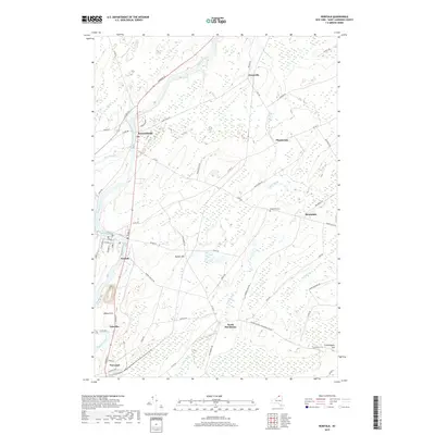
(20)- 2010 Map of Norfolk, 2010 Print
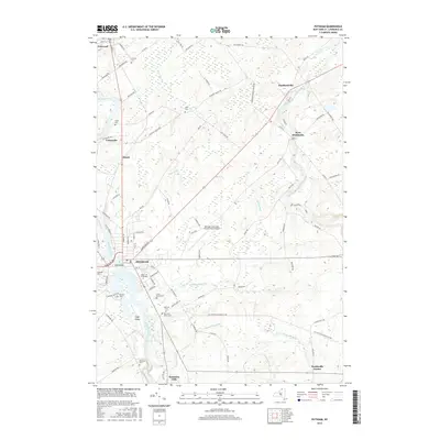
 2010 Norfolk2010 Print · USGSCovers Norwood, including Potsdam, Norfolk, and other nearby areas
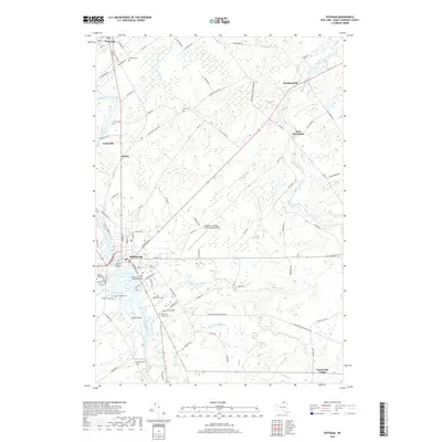
 - 2010 Map of Potsdam, 2010 Print
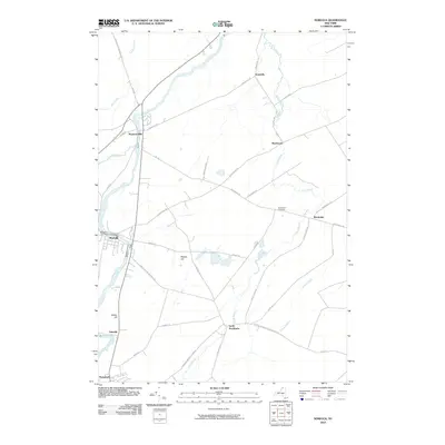
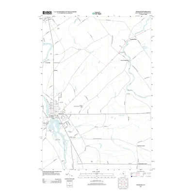
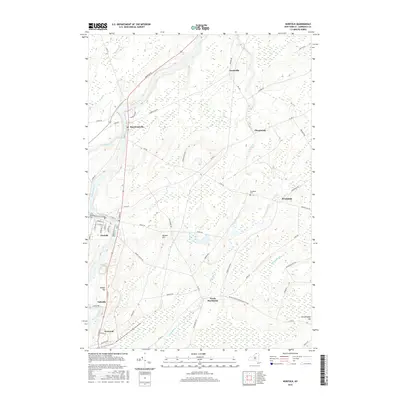
 2010 Potsdam2010 Print · USGSCovers Norwood, including Potsdam, Potsdam, and other nearby areas
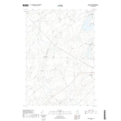
 - 2010 Map of West Potsdam, 2010 Print
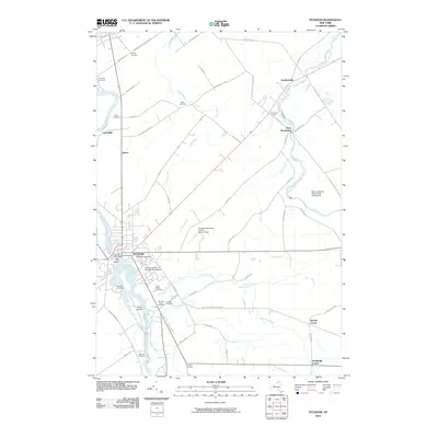
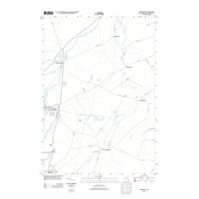
 2010 West Potsdam2010 Print · USGSCovers Norwood, including Potsdam, Canton, and other nearby areas
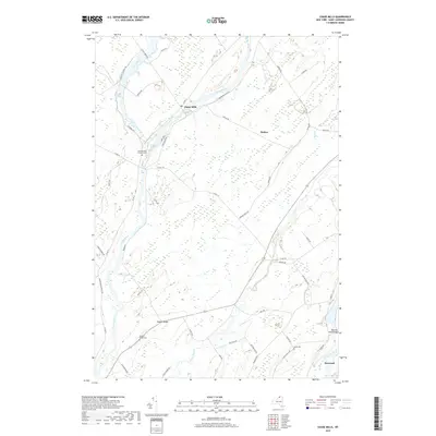
 - 2010 Map of Chase Mills, 2010 Print
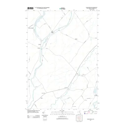
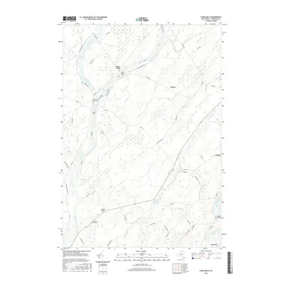
 2010 Chase Mills2010 Print · USGSCovers Norwood, including Potsdam, Norfolk, and other nearby areas
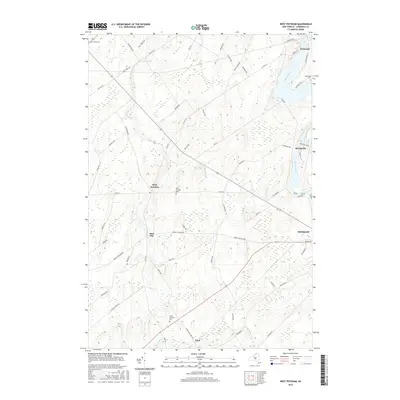
 - 2013 Map of West Potsdam, 2013 Print
 2013 West Potsdam2013 Print · USGSCovers Norwood, including Potsdam, Canton, and other nearby areas
 - 2013 Map of Potsdam, 2013 Print
 2013 Potsdam2013 Print · USGSCovers Norwood, including Potsdam, Potsdam, and other nearby areas
 - 2013 Map of Norfolk, 2013 Print
 2013 Norfolk2013 Print · USGSCovers Norwood, including Potsdam, Norfolk, and other nearby areas
 - 2013 Map of Chase Mills, 2013 Print
 2013 Chase Mills2013 Print · USGSCovers Norwood, including Potsdam, Norfolk, and other nearby areas
 - 2016 Map of West Potsdam, 2016 Print
 2016 West Potsdam2016 Print · USGSCovers Norwood, including Potsdam, Canton, and other nearby areas
 - 2016 Map of Chase Mills, 2016 Print
 2016 Chase Mills2016 Print · USGSCovers Norwood, including Potsdam, Norfolk, and other nearby areas
 - 2016 Map of Norfolk, 2016 Print
 2016 Norfolk2016 Print · USGSCovers Norwood, including Potsdam, Norfolk, and other nearby areas
 - 2016 Map of Potsdam, 2016 Print
 2016 Potsdam2016 Print · USGSCovers Norwood, including Potsdam, Potsdam, and other nearby areas
 - 2019 Map of West Potsdam, 2019 Print
 2019 West Potsdam2019 Print · USGSCovers Norwood, including Potsdam, Canton, and other nearby areas
 - 2019 Map of Chase Mills, 2019 Print
 2019 Chase Mills2019 Print · USGSCovers Norwood, including Potsdam, Norfolk, and other nearby areas
 - 2019 Map of Potsdam, 2019 Print
 2019 Potsdam2019 Print · USGSCovers Norwood, including Potsdam, Potsdam, and other nearby areas
 - 2019 Map of Norfolk, 2019 Print
 2019 Norfolk2019 Print · USGSCovers Norwood, including Potsdam, Norfolk, and other nearby areas
 - 2023 Map of Chase Mills, 2023 Print
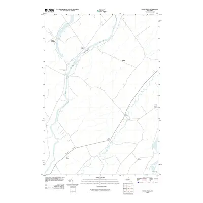
 2023 Chase Mills2023 Print · USGSSaint Lawrence County at the dawn of the twenty-first century remains a landscape of river-valley settlements and quiet ridge lines. Researchers can trace family history through sites like Chamberlain Corners Cem or follow the path of the Grass River past Chase Mills.
 - 2023 Map of West Potsdam, 2023 Print
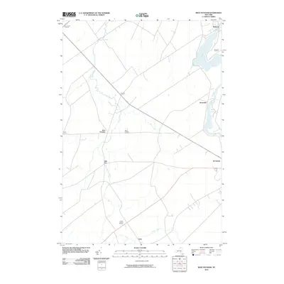
 2023 West Potsdam2023 Print · USGSSt. Lawrence County comes to life in this modern topographic view of the rural and riverside communities north of the Adirondacks. Trace the evolution of hamlets like Slab City and West Potsdam or locate ancestral sites at Riverside Cem and South Potsdam Cem.
 - 2023 Map of Norfolk, 2023 Print
 2023 Norfolk2023 Print · USGSNorthern St. Lawrence County settlements line the banks of the Raquette River in this recent survey. Researchers can trace the layout of Norfolk, Raymondville, and Norwood, or locate local landmarks like the Brookdale Cem and the Raymondville Ski Trail.
 - 2023 Map of Potsdam, 2023 Print
 2023 Potsdam2023 Print · USGSSt. Lawrence County is showcased in the modern era as a center of education and river-driven settlement. Researchers can trace family history through numerous sites like Bayside Cemetery and Ellis Cem, or locate the historic bounds of Clarkson University.
End of results
Showing maps 1-20 of 20
Top cities near Norwood
- Potsdam historical maps
- Massena historical maps
- Canton historical maps
- Massena historical maps
- Potsdam historical maps
- Canton historical maps
See more
Frequently asked questions
- What are the different types of historical maps available for Norwood?
- What is the oldest map of Norwood?
- Where can I purchase historical maps of Norwood for my home or office?
- Where can I download high-res historical maps of Norwood?
- Are there historical topographic maps available for Norwood?
- Is there historical aerial imagery available for Norwood?
- Where are historical maps of Norwood sourced from?