Old Maps of Cobleskill, New York for Metal Detecting
Plan your next treasure hunt with 31 historic maps of Cobleskill. Find old homesites, ghost towns, trails, and gathering spots that may be lost to time — perfect for identifying promising metal detecting locations.
- Locate forgotten sites: Uncover places like long-lost settlements, abandoned rail lines, or gathering spots.
- Plan better hunts: Use map overlays combined with LiDAR or satellite views to narrow in on historically rich areas.
- Made for detectorists: Thousands of hobbyists use these maps to discover relics, coins, and hidden history.
Use these historic maps to boost your research and find new opportunities beneath the surface of Cobleskill.
Cobleskill, NY maps
(31)- 1898 Map of Schoharie, 1963 Print
 1898 Schoharie1963 Print · USGSSchoharie County in the late nineteenth century was a landscape of vital river valleys and developing rail lines. Local historians can trace the paths of the Delaware and Hudson RR or locate old hamlets like Breakabeen and Fultonham.
 - 1900 Map of Schoharie
 1900 Schoharie1900 Print · USGSSchoharie County at the turn of the century shows a landscape defined by the winding Schoharie Creek and vital rail connections. Genealogists can trace family roots through specific locations like Howe Cave, Mineral Springs, and the various stops along the Middleburg and Schoharie RR.8 unique versions available
 - 1900 Map of Schoharie, 1944 Print
 1900 Schoharie1944 Print · USGSSchoharie County at the close of the nineteenth century centers on a thriving valley rail network and small industrial settlements. Genealogists and historians can trace the paths of the Middleburg and Schoharie railroad and locate rural landmarks like Howes Cave and Boucks Falls.
 - 1904 Map of Richmondville
 1904 Richmondville1904 Print · USGSSchoharie and Otsego counties appear here at the start of the century as the rail-and-river economy reached its peak. Genealogists can trace family footprints through historic hamlets like Lutheranville, Seward, and South Valley along the Delaware and Hudson RR.5 unique versions available
 - 1943 Map of Cobleskill, 1954 Print
 1943 Cobleskill1954 Print · USGSSchoharie County's rugged valley and rail corridor are captured here during the 1940s, anchored by the town of Cobleskill. Genealogists and historians can locate specific sites like the State Agricultural School, Howe Caverns, and the Lawyer Cem.4 unique versions available
 - 1943 Map of Schoharie, 1959 Print
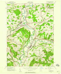 1943 Schoharie1959 Print · USGSThe Schoharie Valley was a vital rail and river corridor during the mid-forties, defined by its small farming hamlets and prominent terrain. Researchers can trace ancestral roots through the Old Stone Fort, several rural schoolhouses, and cemeteries like St Pauls Cem and Central Bridge Cem.4 unique versions available
 - 1944 Map of Richmondville, 1960 Print
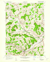 1944 Richmondville1960 Print · USGSSchoharie County was a landscape of rail-connected villages and hillside farmsteads in the mid-1940s. Genealogists can trace the location of local institutions and families through labels for St Johns Ch, Peoples Cem, and several district schools like School No 12.4 unique versions available
 - 1945 Map of Cobleskill
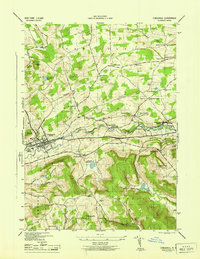 1945 Cobleskill1945 Print · USGSSchoharie County in the mid-1940s is defined by its railroad valley and early tourist attractions. Researchers can trace family plots like Guernsey Cem, find the original State Agricultural School site, and locate Howe Caverns and Secret Caverns.
 - 1945 Map of Richmondville
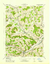 1945 Richmondville1945 Print · USGSSchoharie County's agricultural valleys and upland hamlets are captured here at the end of the Second World War. Researchers can trace dozens of rural landmarks, from St Johns Church and Beekman Corners to specific 1940s schoolhouses like School No 8 and School No 3.
 - 1946 Map of Schoharie
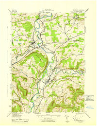 1946 Schoharie1946 Print · USGSThe Schoharie Valley in the mid-1940s remains a landscape of river-bottom farms and rural schoolhouses. Genealogists can trace family roots at St Pauls Cem or locate the site of Old Central Bridge and the Old Stone Fort.
 - 1948 Map of Binghamton, 1980 Print
 1948 Binghamton1980 Print · USGSCentral New York and the Southern Tier thrive in the late 1940s as a hub of rail traffic and mountain industry. Researchers can trace historic transit lines like the Erie Railroad through Binghamton or find old valley settlements near Oneonta and Delhi.
 - 1950 Map of Binghamton
 1950 Binghamton1950 Print · USGSBinghamton and the surrounding Southern Tier are shown in the mid-century era, highlighting the intricate rail and river networks that drove local industry. Researchers can trace the path of the Erie Railroad and locate landmarks from Otsego Lake to Sidney Mountain.2 unique versions available
 - 1958 Map of Binghamton
 1958 Binghamton1958 Print · USGSCentral New York in the late fifties was a network of manufacturing cities and river valleys connected by vital rail lines. Genealogists and historians can trace family roots in Oneonta, Norwich, and Cooperstown or locate long-standing farms along Schoharie Creek.
 - 1963 Map of Binghamton
 1963 Binghamton1963 Print · USGSThe Southern Tier and Catskill peaks are shown in the early sixties as new reservoirs reshaped the valleys. Trace historic rail corridors like the Erie Lackawanna RR and explore lakeside settlements such as Cooperstown and Oneonta.
 - 1985 Map of Amsterdam, 1986 Print
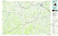 1985 Amsterdam1986 Print · USGSUpstate New York in the mid-1980s reveals a landscape defined by historic river valleys and expanding interstate corridors. Researchers can trace family sites near Stone Arabia Cemetery or explore the civic centers of Amsterdam and Cooperstown near Otsego Lake.2 unique versions available
 - 1996 Map of Cobleskill, 2000 Print
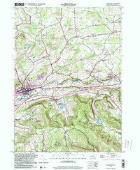 1996 Cobleskill2000 Print · USGSSchoharie County's valley floor and ridge-top hamlets are captured here during the late nineties. Genealogists and hikers can trace family burial plots like Slingerland Cem or explore the geography of Howe Caverns and Mineral Springs.
 - 2010 Map of Richmondville, 2010 Print
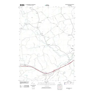 2010 Richmondville2010 Print · USGSSchoharie County remains a landscape of historic hamlets and valley creeks in the early twenty-first century. Researchers can locate numerous family burial sites like Strobeck Cemetery and trace the paths of old routes like the Luenburgh Tpke near Gardnersville.
 - 2010 Map of Cobleskill, 2010 Print
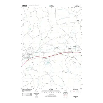 2010 Cobleskill2010 Print · USGSCobleskill and its surrounding Schoharie County highlands are captured here in the early twenty-first century as the region balanced its educational and agricultural roots. Researchers can trace numerous family burial grounds like Lawyer Cemetery and Kilmer Cemetery or explore the geography of Howes Cave.
 - 2010 Map of Schoharie, 2010 Print
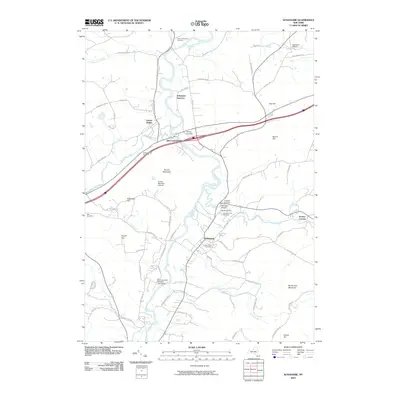 2010 Schoharie2010 Print · USGSSchoharie County at the start of the 2010s shows a landscape deeply shaped by its river valleys and early settlements. Genealogists and historians can locate legacy sites like the Old Stone Fort, Schoharie Junction, and the Old Stone Fort Cemetery.
 - 2013 Map of Cobleskill, 2013 Print
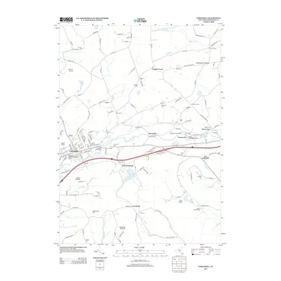 2013 Cobleskill2013 Print · USGSSchoharie County's valley settlements and upland cemeteries are meticulously detailed in this early 21st-century survey. Researchers can trace family roots at the Cobleskill Rural Cem or explore the rail-and-water history of Howes Cave and the Delaware and Hudson Railroad Bridge.
 - 2013 Map of Richmondville, 2013 Print
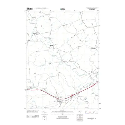 2013 Richmondville2013 Print · USGSSchoharie County’s agricultural valleys and historic crossroads are meticulously detailed in this early twenty-first-century survey. Genealogists and local historians can trace family roots through numerous burial sites like Richmondville Rural Cem and New Rhinebeck Cem while following the path of Schenevus Cr.
 - 2013 Map of Schoharie, 2013 Print
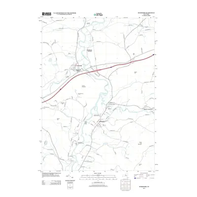 2013 Schoharie2013 Print · USGSSchoharie and the Schoharie Creek valley are captured here in the early twenty-first century, showing a landscape shaped by early rail and river travel. Genealogists and historians can locate the Old Stone Fort, trace the Schoharie Valley Railroad Complex, and find several cemeteries including Bite Cemetery.
 - 2016 Map of Cobleskill, 2016 Print
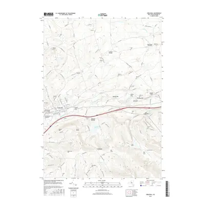 2016 Cobleskill2016 Print · USGSSchoharie County's central corridor is revealed in this modern survey of the region's agricultural and transit roots. Genealogists can trace family heritage through sites like Cobleskill Rural Cem and the France Cem while following the path of the Delaware and Hudson Railroad.
 - 2016 Map of Schoharie, 2016 Print
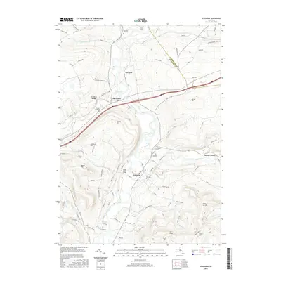 2016 Schoharie2016 Print · USGSSchoharie and the Cobleskill Creek valley are shown here in the mid-2010s, where the river-cut landscape dictates the placement of historic settlements and transport hubs. Researchers can pinpoint early burial sites at Old Stone Fort Cem or trace the geography around Schoharie Junction and Central Bridge.
 - 2016 Map of Richmondville, 2016 Print
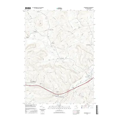 2016 Richmondville2016 Print · USGSSchoharie County, New York, is depicted here in the mid-2010s, showing the enduring rural layout of its upland valleys and creek-side settlements. Genealogists and local historians can trace family histories through a high density of burial sites including Peoples Cem, Lawyersville Cem, and the Richmondville Rural Cem.
Showing maps 1-25 of 31
Top cities near Cobleskill
- Duanesburg historical maps
- Amsterdam historical maps
- Cobleskill historical maps
- Minden historical maps
- Canajoharie historical maps
- Mohawk historical maps
See more
Top neighborhoods of Cobleskill
- Greenbush historical maps
- Howes Cave historical maps
- East Cobleskill historical maps
- Bramanville historical maps
- Lawyersville historical maps
- Mineral Springs historical maps
See more
Frequently asked questions
- What are the different types of historical maps available for Cobleskill?
- What is the oldest map of Cobleskill?
- Where can I purchase historical maps of Cobleskill for my home or office?
- Where can I download high-res historical maps of Cobleskill?
- Are there historical topographic maps available for Cobleskill?
- Is there historical aerial imagery available for Cobleskill?
- Where are historical maps of Cobleskill sourced from?