Old Maps of Conesville, New York for Metal Detecting
Plan your next treasure hunt with 45 historic maps of Conesville. Find old homesites, ghost towns, trails, and gathering spots that may be lost to time — perfect for identifying promising metal detecting locations.
- Locate forgotten sites: Uncover places like long-lost settlements, abandoned rail lines, or gathering spots.
- Plan better hunts: Use map overlays combined with LiDAR or satellite views to narrow in on historically rich areas.
- Made for detectorists: Thousands of hobbyists use these maps to discover relics, coins, and hidden history.
Use these historic maps to boost your research and find new opportunities beneath the surface of Conesville.
Conesville, NY maps
(45)- 1893 Map of Durham
 1893 Durham1893 Print · USGSThe northern Catskill foothills and the Greene-Albany county line appear here in the early 1890s, when valley farming and small-scale industry defined the region. Genealogists and hikers can trace the original paths to Union Society, Cairo Forge, and the high peaks of the Black Head Mountains.
 - 1894 Map of Durham
 1894 Durham1894 Print · USGSThe northern Catskills transition from rolling valley farms to high mountain peaks in the late nineteenth century. Genealogists and hikers can trace old routes between Preston Hollow, Hensonville, and the summits of the Black Head Mountains.10 unique versions available
 - 1901 Map of Gilboa, 1961 Print
 1901 Gilboa1961 Print · USGSThe northern Catskills at the start of the twentieth century reveal a landscape of river-valley hamlets and high mountain peaks. Genealogists and historians can trace original homesteads near Gilboa, Prattsville, and Livingstonville, or find landmarks like Pratt Rocks.
 - 1903 Map of Gilboa
 1903 Gilboa1903 Print · USGSThe Schoharie Valley at the turn of the century shows a landscape of clustered hamlets and prominent mountain peaks before major regional changes. Researchers can trace the layout of early settlements like Gilboa and Prattsville, or locate family landmarks such as Pratt Rocks and Manorkill Falls.9 unique versions available
 - 1945 Map of Gilboa, 1946 Print
 1945 Gilboa1946 Print · USGSSchoharie County in the mid-1940s shows a landscape reshaped by water engineering and the Schoharie Creek valley. Genealogists and local historians can trace family plots at Shafer Cem or locate the old Central Sch near the rising Schoharie Reservoir.5 unique versions available
 - 1945 Map of Prattsville, 1960 Print
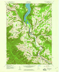 1945 Prattsville1960 Print · USGSThe northern Catskills appear here in the mid-1940s as a landscape of steep ridges and valley settlements tied to the Schoharie Creek. Researchers can trace rural life through sites like School No 1 or family burial grounds such as Huntersfield Cem and Rappleyea Cem.3 unique versions available
 - 1945 Map of Ashland, 1963 Print
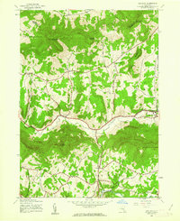 1945 Ashland1963 Print · USGSGreene County in the mid-1940s shows a landscape of upland farming and quiet mountain hamlets before modern development altered these rural valleys. Researchers can locate family sites and landmarks like North Settlement Cem, School No 3, and the village of Ashland.3 unique versions available
 - 1945 Map of Livingstonville, 1966 Print
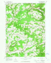 1945 Livingstonville1966 Print · USGSSchoharie County's mountain valleys were still defined by a network of one-room schoolhouses and small hamlets in the mid-1940s. Researchers can trace ancestral sites like Scott Patent Ch or locate rural districts such as School No 8 and School No 13.2 unique versions available
 - 1945 Map of Durham, 1967 Print
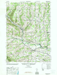 1945 Durham1967 Print · USGSThe northern Catskills appear here in the mid-1940s, showing a transition toward centralized education and post-war rural life. Researchers can trace historic hamlets like Preston Hollow and find family names at Oak Hill Cem or Brookside Cem.
 - 1946 Map of Durham
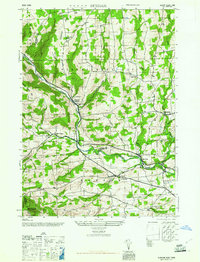 1946 Durham1946 Print · USGSThe Catskill foothills in the mid-1940s reveal a network of isolated hamlets and upland farms. Genealogists can trace family names and local landmarks through sites like Brookside Cem, Potter Hollow, and the Cheese Hill School.2 unique versions available
 - 1946 Map of Prattsville
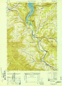 1946 Prattsville1946 Print · USGSThe Catskills in the 1940s reveal a landscape of high peaks and managed waters. Genealogists can trace family roots through numerous small burial grounds like Fairlawn Cem and Huggins Cem, or locate local landmarks like School No 1.
 - 1946 Map of Livingstonville
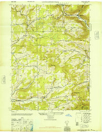 1946 Livingstonville1946 Print · USGSThe Schoharie and Albany county borders meet here in the mid-1940s, showing a landscape of high Catskill peaks and narrow creek valleys. Researchers can locate family roots via several rural schoolhouses and cemeteries like Keyser Cem and School No 12.
 - 1946 Map of Ashland
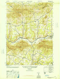 1946 Ashland1946 Print · USGSGreene County high country in the mid-1940s reveals a landscape of high peaks and scattered valley settlements. Genealogists can locate family burial grounds like Freese Cem and Ashland Cem, or trace rural schools and the Catskill State Park boundary.
 - 1948 Map of Binghamton, 1980 Print
 1948 Binghamton1980 Print · USGSCentral New York and the Southern Tier thrive in the late 1940s as a hub of rail traffic and mountain industry. Researchers can trace historic transit lines like the Erie Railroad through Binghamton or find old valley settlements near Oneonta and Delhi.
 - 1950 Map of Binghamton
 1950 Binghamton1950 Print · USGSBinghamton and the surrounding Southern Tier are shown in the mid-century era, highlighting the intricate rail and river networks that drove local industry. Researchers can trace the path of the Erie Railroad and locate landmarks from Otsego Lake to Sidney Mountain.2 unique versions available
 - 1958 Map of Binghamton
 1958 Binghamton1958 Print · USGSCentral New York in the late fifties was a network of manufacturing cities and river valleys connected by vital rail lines. Genealogists and historians can trace family roots in Oneonta, Norwich, and Cooperstown or locate long-standing farms along Schoharie Creek.
 - 1962 Map of Livingstonville
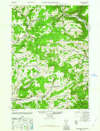 1962 Livingstonville1962 Print · USGSSchoharie County's southern highlands are documented here as they appeared in the 1940s and 50s, centered on the Catskill Creek valley. Genealogists can locate family landmarks like the Ellis Cem, Scott Patent Ch, and numerous rural schools from Conesville to Broome Center.
 - 1963 Map of Binghamton
 1963 Binghamton1963 Print · USGSThe Southern Tier and Catskill peaks are shown in the early sixties as new reservoirs reshaped the valleys. Trace historic rail corridors like the Erie Lackawanna RR and explore lakeside settlements such as Cooperstown and Oneonta.
 - 1967 Map of Durham
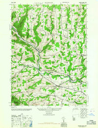 1967 Durham1967 Print · USGSThe northern Catskill foothills come alive in this mid-century survey of the Albany and Greene County borderlands. Genealogists can trace family names through landmarks like Brookside Cem, Potter Hollow, and the Cheese Hill School.
 - 1986 Map of Pepacton Reservoir
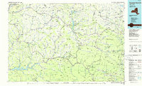 1986 Pepacton Reservoir1986 Print · USGSThe Catskills in the mid-eighties show a landscape shaped by the Pepacton Reservoir and protected wilderness. Local historians can trace mountain rail corridors like the Delaware & Ulster RR and locate high-elevation landmarks from Slide Mountain to Hunter Mountain.2 unique versions available
 - 2010 Map of Gilboa, 2010 Print
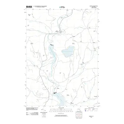 2010 Gilboa2010 Print · USGSSchoharie County water management and rural hamlets are centered here in the late twenty-teens. Genealogists can trace family heritage through numerous burial sites like Shafer Cemetery and Patrie Cemetery, or find historic landmarks like the Blenheim Covered Bridge.
 - 2010 Map of Durham, 2010 Print
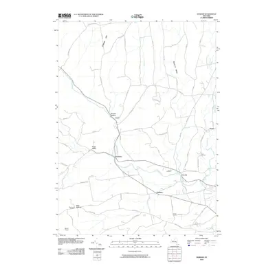 2010 Durham2010 Print · USGSThe rural hamlets of Greene County are captured here in the early twenty-first century, showing a landscape of deep valleys and creek-side settlements. Genealogists and local historians can trace family roots through sites like Brookside Cemetery, West Durham, and Medusa.
 - 2010 Map of Prattsville, 2010 Print
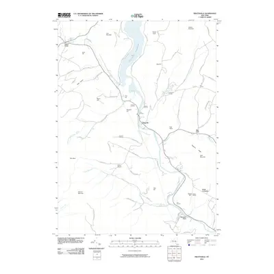 2010 Prattsville2010 Print · USGSThe northern Catskills appear in great detail here, centered on the Prattsville valley and the Schoharie Reservoir. Genealogists and local historians can locate numerous family burial sites like Huggins Cemetery and landmarks such as Hardenburgh Falls or Maben Airport.
 - 2010 Map of Livingstonville, 2010 Print
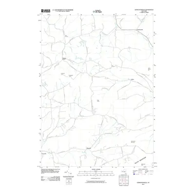 2010 Livingstonville2010 Print · USGSThe hill country of Greene and Schoharie Counties remains a landscape of winding creek valleys and high peaks at the start of the 21st century. Researchers can trace rural lineages at Keyser Cemetery or follow old routes through Bates and Broome Center.
 - 2010 Map of Ashland, 2010 Print
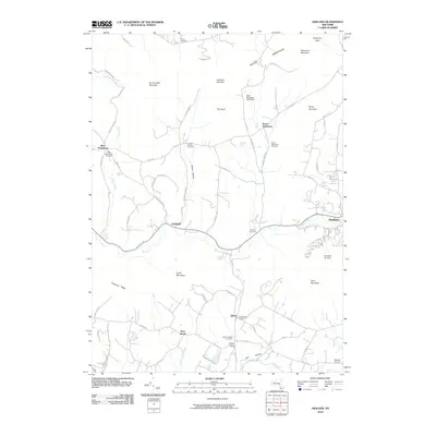 2010 Ashland2010 Print · USGSGreene County’s high peaks and deep hollows are captured here at the start of the 2010s, showing a landscape defined by mountain agriculture and modern recreation. Researchers can trace family history through numerous small burial grounds like Sutton Hollow Cemetery and Jewett Heights Cemetery.
Showing maps 1-25 of 45
Top cities near Conesville
- Cairo historical maps
- Middletown historical maps
- Westerlo historical maps
- Middleburgh historical maps
- Hunter historical maps
- Berne historical maps
See more
Top neighborhoods of Conesville
Frequently asked questions
- What are the different types of historical maps available for Conesville?
- What is the oldest map of Conesville?
- Where can I purchase historical maps of Conesville for my home or office?
- Where can I download high-res historical maps of Conesville?
- Are there historical topographic maps available for Conesville?
- Is there historical aerial imagery available for Conesville?
- Where are historical maps of Conesville sourced from?