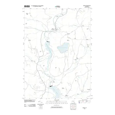
2010 Map of Gilboa
USGS Topo · Published 2010About this map
Schoharie Creek dominates this landscape, its waters harnessed for power and storage through massive infrastructure. The northern reach features the Blenheim Covered Bridge at North Blenheim, while moving south reveals the sprawling Blenheim Gilboa Reservoir and the Upper Blenheim Gilboa Reservoir carved into the surrounding hills. This hydraulic engineering continues further south to the Gilboa Dam, which contains the northern end of the Schoharie Reservoir.
Find a feature on this map
90 named features on this map. Tap any name to fly to it.
Don’t see what you’re looking for? This feature index may not catch every label — zoom into the map to look around manually.
Map Details
Editions of this 2010 Gilboa Map
This is the sole edition of this map. No revisions or reprints were ever made.
Other maps of this area

1898 · Schoharie
USGS Topo · 1:62,500

1900 · Schoharie
USGS Topo · 1:62,500

1901 · Gilboa
USGS Topo · 1:62,500

1903 · Gilboa
USGS Topo · 1:62,500

1904 · Richmondville
USGS Topo · 1:62,500

1904 · Hobart
USGS Topo · 1:62,500

1943 · Breakabeen
USGS Topo · 1:24,000

1943 · Summit
USGS Topo · 1:24,000
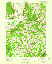
1944 · Middleburgh
USGS Topo · 1:24,000
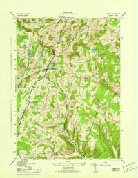
1945 · Summit
USGS Topo · 1:31,680