Old Maps of Lodi Center, Lodi for Academic Research
Study the evolution of Lodi Center with 13 high-resolution historic maps. Whether you're teaching, researching, or modeling changes in land use, these maps provide essential visual documentation of urban, environmental, and geographic change.
- Analyze long-term change: Track patterns in development, transportation, and natural features.
- Ideal for environmental or urban studies: Support academic projects with primary historical map data.
- Use in the classroom or lab: Educators and researchers rely on these maps to bring historical context to life.
These maps are a powerful tool for teaching, research, and visualizing how Lodi Center has changed over the decades.
Lodi Center, Lodi maps
(13)- 1902 Map of Ovid
 1902 Ovid1902 Print · USGSThe Finger Lakes region at the turn of the century shows a landscape tied together by steamboats and competing rail lines. Genealogists and historians can trace the industrial footprints of Cascade Mills or follow the path of the Lehigh Valley R. R. through villages like Ovid and Lodi.9 unique versions available
 - 1942 Map of Lodi, 1960 Print
 1942 Lodi1960 Print · USGSSeneca and Schuyler counties are seen here in the early 1940s, as the rural Finger Lakes landscape was defined by family-named crossroads and lakeside rail depots. Researchers can trace ancestral farmstead locations near Cat Elbow Corner, Bumpus Corners, and the historic Round Sch.2 unique versions available
 - 1943 Map of Lodi
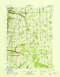 1943 Lodi1943 Print · USGSSeneca County's eastern shores and upland farms are captured here during the 1940s, showing the region's transition from lakeside rails to high ridge pastures. Genealogists can locate specific rural properties near Lodi Center, East Steamburg, and the Round Schoolhouse.
 - 1950 Map of Elmira
 1950 Elmira1950 Print · USGSThe Finger Lakes region thrived in the late 1940s as a hub of industry and transport. Trace family roots and vanished landmarks near Seneca Lake or explore the rail lines of the Erie RR and the sprawling Seneca Ordnance Depot.2 unique versions available
 - 1958 Map of Elmira
 1958 Elmira1958 Print · USGSThe New York Finger Lakes during the late fifties reveal a complex landscape of glacial geology and industrial growth. Researchers can trace historic transport corridors like the Erie Canal and Erie RR, or locate institutional landmarks like Cornell University.2 unique versions available
 - 1962 Map of Elmira, 1969 Print
 1962 Elmira1969 Print · USGSThe Finger Lakes region and Southern Tier are captured here during a period of industrial maturity and highway expansion. Researchers can trace the path of the Erie Canal, the footprint of the Seneca Army Depot, and legacy rail lines through Elmira and Ithaca.4 unique versions available
 - 1965 Map of Elmira
 1965 Elmira1965 Print · USGSThe Finger Lakes and Southern Tier regions are captured in the mid-sixties, showcasing a landscape of deep glacial valleys and heavy rail infrastructure. Trace old railroad corridors like the Pennsylvania RR or visit landmarks like Letchworth State Park and the Seneca Army Depot.
 - 1986 Map of Auburn
 1986 Auburn1986 Print · USGSThe Finger Lakes region in the mid-eighties shows a landscape of deep glacial waters and significant military sites. Trace the layout of the Seneca Army Depot, find the campus of Wells College, and follow the historic Lehigh Valley RR lines.2 unique versions available
 - 2011 Map of Lodi, 2011 Print
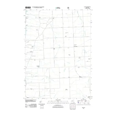 2011 Lodi2011 Print · USGSThe eastern shore of Seneca Lake comes into focus in this early twenty-first-century survey of the New York Finger Lakes. Researchers can trace the lineage of the land through historic burial grounds like Townsendville Cemetery and established agricultural names like Dalrymple Farms and Gold Seal Vineyards.
 - 2013 Map of Lodi, 2013 Print
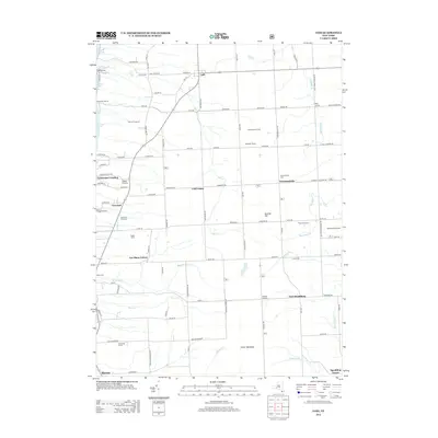 2013 Lodi2013 Print · USGSThe eastern shores of Seneca Lake are shown here in the early twenty-first century, highlighting a landscape shaped by vineyards and deep-set lake bluffs. Researchers can trace family roots through several local burial grounds like Cronk Cem or locate rural landmarks such as Cat Elbow Corner and Silver Thread Falls.
 - 2016 Map of Lodi, 2016 Print
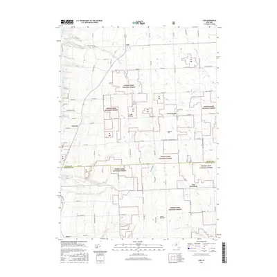 2016 Lodi2016 Print · USGSThe eastern shore of Seneca Lake meets the high ridges of the Finger Lakes National Forest in this modern-era study. Local researchers can trace family roots through historic burial sites like Lodi Cem and Townsendville Cem or locate the cascades at Silver Thread Falls.
 - 2019 Map of Lodi, 2019 Print
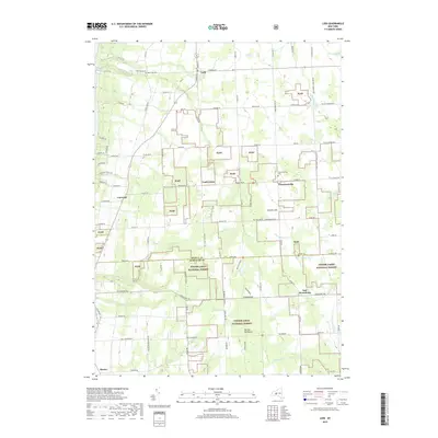 2019 Lodi2019 Print · USGSThe rural uplands of Seneca and Schuyler Counties are preserved here in a modern survey of the late 2010s. Local researchers can trace old family burial grounds like Townsendville Cem or explore the wooded boundaries of the Finger Lakes National Forest.
 - 2023 Map of Lodi, 2023 Print
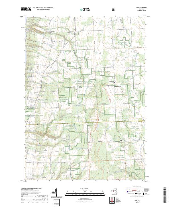 2023 Lodi2023 Print · USGSThe upland ridges between Seneca and Cayuga Lakes are captured here in the 2020s, showing a landscape where agriculture meets federal forest land. Genealogists and local historians can trace burial sites like Seneca Union Cem and Townsendville Cem or locate the dramatic Silver Thread Falls.
End of results
Showing maps 1-13 of 13
Top cities near Lodi Center
- Lansing historical maps
- Milo historical maps
- Newfield historical maps
- Penn Yan historical maps
- Hector historical maps
- Ulysses historical maps
See more
Frequently asked questions
- What are the different types of historical maps available for Lodi Center?
- What is the oldest map of Lodi Center?
- Where can I purchase historical maps of Lodi Center for my home or office?
- Where can I download high-res historical maps of Lodi Center?
- Are there historical topographic maps available for Lodi Center?
- Is there historical aerial imagery available for Lodi Center?
- Where are historical maps of Lodi Center sourced from?