Old Maps of Ovid, New York for Genealogy
Trace your family roots with 28 historic maps of Ovid. These high-res maps reveal old neighborhoods, homesites, landmarks, and streets — helping you uncover where your ancestors lived and how the area evolved over time.
- Explore historic neighborhoods: Identify where your relatives may have lived in the 1800s or 1900s.
- Compare maps over time: Trace the changes in streets, buildings, and landmarks for multi-generational research.
- Perfect for genealogy & ancestry research: Used by family historians and researchers to map out lineage and migration.
These maps are an incredible resource for exploring your personal connection to Ovid's past.
Ovid, NY maps
(28)- 1902 Map of Genoa
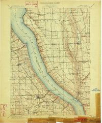 1902 Genoa1902 Print · USGSThe Finger Lakes region thrived on water and rail transport at the turn of the century, centered on the transit hub of Cayuga Lake. Genealogists and historians can trace the early Steamboat Route and find historic sites like Wells College and Taughannic Falls.8 unique versions available
 - 1902 Map of Ovid
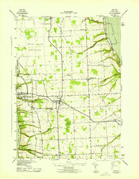
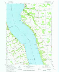
 1902 Ovid1902 Print · USGSThe Finger Lakes region at the turn of the century shows a landscape tied together by steamboats and competing rail lines. Genealogists and historians can trace the industrial footprints of Cascade Mills or follow the path of the Lehigh Valley R. R. through villages like Ovid and Lodi.9 unique versions available
 - 1942 Map of Ovid
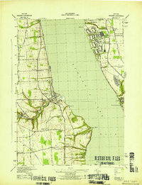
 1942 Ovid1942 Print · USGSSeneca County's transition into the early war years is visible here, centered on the village of OVID between the Finger Lakes. Researchers can trace the extensive LEHIGH VALLEY RAILROAD line and locate family sites like Willard State Hospital, School No 1, and Union Cem.3 unique versions available
 - 1942 Map of Sheldrake, 1960 Print
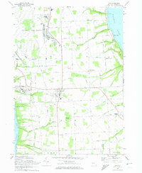
 1942 Sheldrake1960 Print · USGSThe shores of Cayuga Lake are captured here during the early 1940s, showcasing a rural landscape of crossroads hamlets and lakeside points. Genealogists can locate family landmarks like Parker Cem, Wells College, and the rail depot at King Ferry Sta.
 - 1943 Map of Dresden
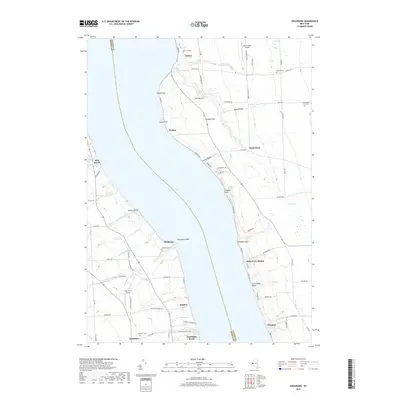
 1943 Dresden1943 Print · USGSDuring the early years of the Second World War, the Seneca Lake shore underwent a massive transformation with the establishment of the Naval Training Station. Researchers can trace the layout of the station and Sampson (PO), or locate historic mills like Mays Mills and Cascade Mills.4 unique versions available
 - 1943 Map of Sheldrake
 1943 Sheldrake1943 Print · USGSCayuga Lake's eastern and western shores are captured here in the early 1940s, showing a landscape of deep gullies and lakeside rail stations. Genealogists can trace family names at Quaker Cem or locate former hubs like Kings Ferry Station and Wells College.
 - 1950 Map of Elmira
 1950 Elmira1950 Print · USGSThe Finger Lakes region thrived in the late 1940s as a hub of industry and transport. Trace family roots and vanished landmarks near Seneca Lake or explore the rail lines of the Erie RR and the sprawling Seneca Ordnance Depot.2 unique versions available
 - 1958 Map of Elmira
 1958 Elmira1958 Print · USGSThe New York Finger Lakes during the late fifties reveal a complex landscape of glacial geology and industrial growth. Researchers can trace historic transport corridors like the Erie Canal and Erie RR, or locate institutional landmarks like Cornell University.2 unique versions available
 - 1962 Map of Elmira, 1969 Print
 1962 Elmira1969 Print · USGSThe Finger Lakes region and Southern Tier are captured here during a period of industrial maturity and highway expansion. Researchers can trace the path of the Erie Canal, the footprint of the Seneca Army Depot, and legacy rail lines through Elmira and Ithaca.4 unique versions available
 - 1965 Map of Elmira
 1965 Elmira1965 Print · USGSThe Finger Lakes and Southern Tier regions are captured in the mid-sixties, showcasing a landscape of deep glacial valleys and heavy rail infrastructure. Trace old railroad corridors like the Pennsylvania RR or visit landmarks like Letchworth State Park and the Seneca Army Depot.
 - 1970 Map of Ovid, 1974 Print
 1970 Ovid1974 Print · USGSSettled between the shores of the Finger Lakes in the early 1970s, this area showcases the massive footprint of the Seneca Army Depot. Researchers can trace the Lehigh Valley Railroad and locate burial sites like Ovid Center Cem.2 unique versions available
 - 1971 Map of Sheldrake, 1974 Print
 1971 Sheldrake1974 Print · USGSCayuga Lake's shoreline in the early 1970s reveals a landscape of historic college grounds and deep-cut gullies. Trace the Lehigh Valley rail line or locate family landmarks like Prospect Corners, Jump Corners, and Wells College.2 unique versions available
 - 1986 Map of Auburn
 1986 Auburn1986 Print · USGSThe Finger Lakes region in the mid-eighties shows a landscape of deep glacial waters and significant military sites. Trace the layout of the Seneca Army Depot, find the campus of Wells College, and follow the historic Lehigh Valley RR lines.2 unique versions available
 - 2010 Map of Ovid, 2010 Print
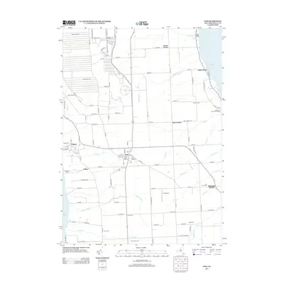
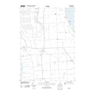 2010 Ovid2010 Print · USGSCovers Ovid, including Romulus, Covert, and other nearby areas
 - 2010 Map of Dresden, 2010 Print
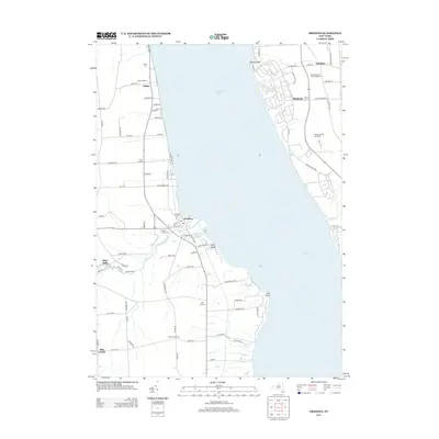
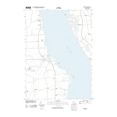 2010 Dresden2010 Print · USGSCovers Ovid, including Milo, Romulus, and other nearby areas
 - 2010 Map of Sheldrake, 2010 Print
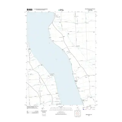
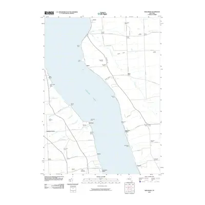 2010 Sheldrake2010 Print · USGSCovers Ovid, including Romulus, Covert, and other nearby areas
 - 2013 Map of Ovid, 2013 Print
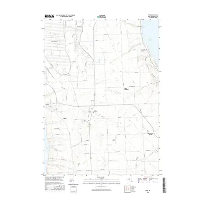
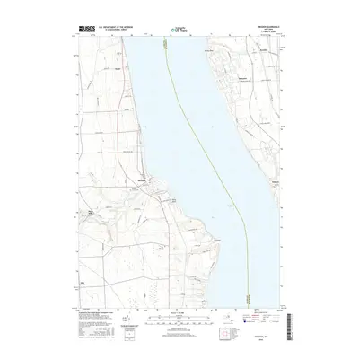
 2013 Ovid2013 Print · USGSCovers Ovid, including Romulus, Covert, and other nearby areas
 - 2013 Map of Sheldrake, 2013 Print
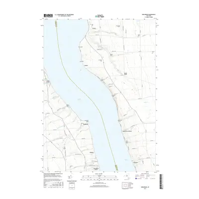
 2013 Sheldrake2013 Print · USGSCovers Ovid, including Romulus, Covert, and other nearby areas
 - 2013 Map of Dresden, 2013 Print
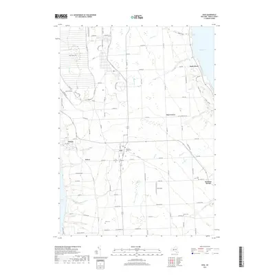
 2013 Dresden2013 Print · USGSCovers Ovid, including Milo, Romulus, and other nearby areas
 - 2016 Map of Ovid, 2016 Print
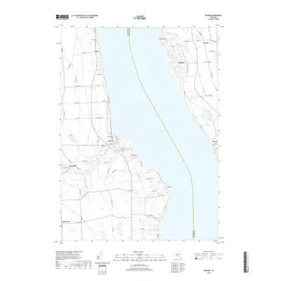
 2016 Ovid2016 Print · USGSCovers Ovid, including Romulus, Covert, and other nearby areas
 - 2016 Map of Dresden, 2016 Print
 2016 Dresden2016 Print · USGSCovers Ovid, including Milo, Romulus, and other nearby areas
 - 2016 Map of Sheldrake, 2016 Print
 2016 Sheldrake2016 Print · USGSCovers Ovid, including Romulus, Covert, and other nearby areas
 - 2019 Map of Ovid, 2019 Print
 2019 Ovid2019 Print · USGSCovers Ovid, including Romulus, Covert, and other nearby areas
 - 2019 Map of Dresden, 2019 Print
 2019 Dresden2019 Print · USGSCovers Ovid, including Milo, Romulus, and other nearby areas
 - 2019 Map of Sheldrake, 2019 Print
 2019 Sheldrake2019 Print · USGSCovers Ovid, including Romulus, Covert, and other nearby areas
Showing maps 1-25 of 28
Top cities near Ovid
- Ithaca historical maps
- Geneva historical maps
- Lansing historical maps
- Seneca Falls historical maps
- Waterloo historical maps
- Milo historical maps
See more
Top neighborhoods of Ovid
- Sheldrake Springs historical maps
- Gilbert historical maps
- Sheldrake historical maps
- Kidders historical maps
- Ovid historical maps
Frequently asked questions
- What are the different types of historical maps available for Ovid?
- What is the oldest map of Ovid?
- Where can I purchase historical maps of Ovid for my home or office?
- Where can I download high-res historical maps of Ovid?
- Are there historical topographic maps available for Ovid?
- Is there historical aerial imagery available for Ovid?
- Where are historical maps of Ovid sourced from?