Old Maps of Eastport, New York
Explore 32 old maps of Eastport, spanning from 1903 to today. These high-resolution historic maps reveal how streets, neighborhoods, landmarks, and natural features evolved over time — perfect for genealogy, metal detecting, research, and local history exploration.
What you can do with these maps:
- See how Eastport changed over time: Compare historical maps to modern-day views to trace roads, homesites, rail lines & more.
- View detailed metadata: Each map includes creators, publishers, year, scale, and archive source.
- Overlay maps with satellite & LiDAR: Visualize the past alongside modern tools to explore terrain & human change.
- Trusted historical sources: Maps sourced from the USGS, Library of Congress, and other archives.
- Access maps your way: View online, download high-res files, or order prints for personal or research use.
Start exploring old maps of Eastport to uncover forgotten places, hidden landmarks, and the deep history beneath your feet.
Eastport, NY maps
(32)- 1903 Map of Riverhead, 1963 Print
 1903 Riverhead1963 Print · USGSThe forks of Long Island come alive in this early 1900s survey of the bustling rail and maritime corridor. Researchers can trace the Long Island Railroad through historic hamlets like Good Ground, Aquebogue, and the early shoreline of Shinnecock Bay.
 - 1904 Map of Riverhead
 1904 Riverhead1904 Print · USGSEastern Long Island at the turn of the century shows a landscape of rail-connected hamlets and coastal vigilance. Researchers can trace the early layout of Riverhead or locate historic life-saving outposts like Tiana L.S.S. and Potunk L.S.S. along the barrier beaches.9 unique versions available
 - 1904 Map of Moriches, 1912 Print
 1904 Moriches1912 Print · USGSCoastal Suffolk County at the start of the century shows a landscape of quiet maritime landings and early railroad hamlets. Genealogists can trace the early footprints of Wardenclyffe, Middle Island, and the Life-Saving Stations protecting Fire Island.2 unique versions available
 - 1943 Map of Riverhead
 1943 Riverhead1943 Print · USGSLong Island's eastern forks appear here in the early twentieth century as a landscape of coastal hamlets and maritime commerce. Trace the path of the Montauk Division railroad through RIVERHEAD or locate family roots in Mattituck, Speonk, and Good Ground.
 - 1947 Map of Riverhead
 1947 Riverhead1947 Print · USGSRiverhead and the Peconic River valley are captured here just after the war, showing the area's transition from agricultural heartland to a regional hub. Researchers can trace the Long Island Railroad route, family-named roads like Osborn Ave, and local sites like the LI Research Veg Farm.
 - 1947 Map of Eastport
 1947 Eastport1947 Print · USGSCoastal Suffolk County thrives along the Atlantic shore in the years following World War II, when rail and road first began to transform these fishing and farming hamlets. Genealogists and historians can trace the early layouts of Eastport, Speonk, and Westhampton Beach alongside the Long Island Railroad.
 - 1949 Map of New York, 1951 Print
 1949 New York1951 Print · USGSLong Island and its surrounding waters are documented here in the late 1940s, just as the postwar suburban boom began to transform the region. Genealogists and historians can trace the early layouts of Idlewild Airport, Mitchell Field, and the established routes of the Long Island RR.
 - 1954 Map of New York
 1954 New York1954 Print · USGSLong Island and the New York metropolitan area are shown during the height of post-war suburbanization. Genealogists and historians can trace the growth of Levittown, the infrastructure of the Long Island Rail Road, and landmarks like Mitchel Afb.2 unique versions available
 - 1956 Map of Riverhead, 1958 Print
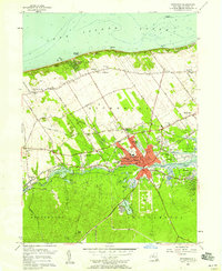 1956 Riverhead1958 Print · USGSThe North Fork and Pine Barrens meet at Riverhead during the mid-fifties, showing a landscape defined by the Peconic River and coastal industry. Genealogists and local historians can locate St Johns Cem, the Riverhead Raceway, and the old Roanoke Sch.3 unique versions available
 - 1956 Map of Eastport, 1958 Print
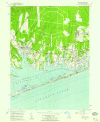 1956 Eastport1958 Print · USGSThe South Shore of Long Island in the mid-fifties reveals a coastal landscape of growing summer colonies and a significant military presence. Genealogists and historians can trace family-named necks and points or locate landmarks like the Westhampton Ch and Suffolk County Air Force Base.2 unique versions available
 - 1957 Map of Moriches, 1958 Print
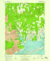 1957 Moriches1958 Print · USGSThe south shore of Long Island undergoes rapid mid-century expansion in this detailed record of the Moriches area. Researchers can trace the early residential grids of Shirley and Mastic Beach alongside traditional sites like the Church in the Wildwood and Floyd Cemetery.
 - 1957 Map of New York, 1975 Print
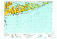 1957 New York1975 Print · USGSLong Island and the New York metropolitan area are shown in this mid-century survey during a period of massive suburban growth and industrial expansion. Researchers can trace the Long Island RR network and locate landmarks like Fort Tilden or the Brookhaven National Laboratory.
 - 1958 Map of New York
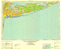 1958 New York1958 Print · USGSLong Island at the height of its postwar expansion reveals a landscape of rapidly growing suburbs and critical military installations. Genealogists and historians can trace the early footprints of Levittown, the terminals of Idlewild Airport, and the grounds of Brookhaven National Laboratory.3 unique versions available
 - 1960 Map of New York, 1979 Print
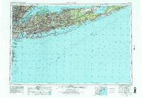 1960 New York1979 Print · USGSLong Island and the five boroughs are shown at a transformative moment mid-century as suburban expansion reshaped the landscape. Researchers can trace family roots through evolving neighborhoods from Rockville Centre to Sayville, or locate historic maritime landmarks like Eatons Neck and Montauk Point.2 unique versions available
 - 1967 Map of Moriches, 1970 Print
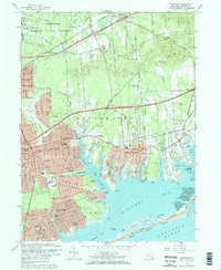 1967 Moriches1970 Print · USGSCoastal Suffolk County emerges as a suburban and scientific hub during the late sixties, where the sprawling Brookhaven National Laboratory meets the burgeoning South Shore. Trace family roots at the Floyd Cem or locate lost landmarks like the Drive-in Theater and the New York National Speedway.2 unique versions available
 - 1969 Map of New York
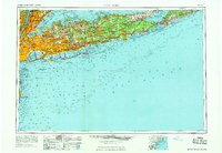 1969 New York1969 Print · USGSLong Island and the New York harbor area are shown here during a peak era of suburban expansion and Cold War defense. Trace the growth of Levittown, the infrastructure of Idlewild NY International Airport, and the reach of the Long Island RR.
 - 1984 Map of Long Island East, 1985 Print
 1984 Long Island East1985 Print · USGSEastern Long Island in the 1980s reveals a landscape of suburban growth and coastal preservation. Trace the mid-century development of Hampton Bays alongside Calverton National Cemetery and the Long Island Rail Road.3 unique versions available
 - 2010 Map of Eastport, 2010 Print
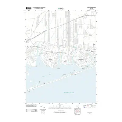 2010 Eastport2010 Print · USGSCoastal Suffolk County is captured here at the start of the 2010s, showing the intricate waterfronts of the South Shore. Genealogists and local historians can locate the Tuthill Burial Ground, Lufker Airport, and the varied necks and points along Moriches Bay.
 - 2010 Map of Moriches, 2010 Print
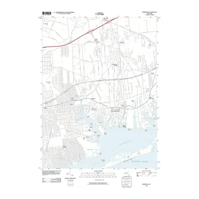 2010 Moriches2010 Print · USGSThe South Shore of Long Island is captured here at a moment of modern residential density alongside protected coastal heritage. Researchers can trace family history at the William Hawkins and Daniel Downs Cemetery or explore the extensive grounds of the William Floyd Estate.
 - 2010 Map of Riverhead, 2010 Print
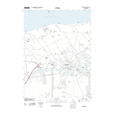 2010 Riverhead2010 Print · USGSThe North Fork of Long Island at the dawn of the 2010s shows a landscape of agricultural heritage and expanding residential villages. Genealogists and historians can trace family farmsteads like Edward Zilnicki Farms or locate ancestors in Saint Johns Cemetery and Riverhead Cemetery.
 - 2013 Map of Riverhead, 2013 Print
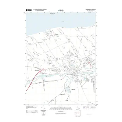 2013 Riverhead2013 Print · USGSSuffolk County in the early twenty-first century reveals a blend of coastal agriculture and suburban growth between the Peconic River and the Sound. Trace local history at the Baiting Hollow Cem, follow the Long Island Railroad line, or explore the legacy of Wells Farm.
 - 2013 Map of Eastport, 2013 Print
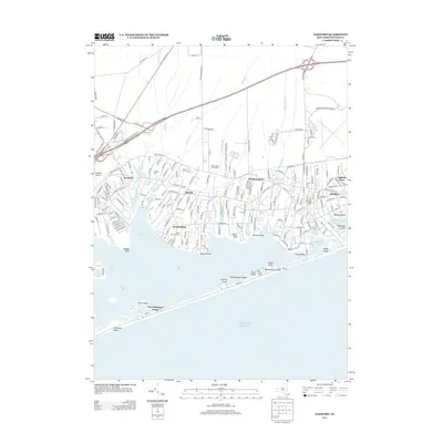 2013 Eastport2013 Print · USGSCoastal Suffolk County comes into sharp focus during the early 2010s, showing the residential hamlets of the South Shore and their connection to the Atlantic. Genealogists and researchers can trace local family landmarks like the Tuthill Burial Ground and Eastport Cem, or follow the path of the Long Island RR.
 - 2013 Map of Moriches, 2013 Print
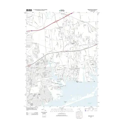 2013 Moriches2013 Print · USGSLong Island's south shore comes into focus in this early twenty-first century record of Brookhaven's coastal hamlets and tidal inlets. Researchers can trace the grounds of the William Floyd Estate, locate the Old Presbyterian Cem, or find the former New York National Speedway.
 - 2016 Map of Moriches, 2016 Print
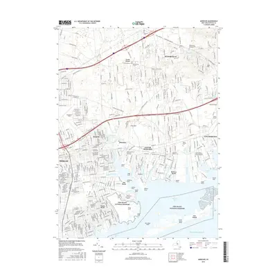 2016 Moriches2016 Print · USGSThe South Shore of Long Island is mapped here just as the modern suburban character of the mid-2010s was fully established. Genealogists can trace small family burial sites like the Wines Private Graveyard or explore the coastal reaches of Narrow Bay and the Forge River.
 - 2016 Map of Eastport, 2016 Print
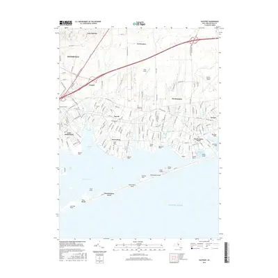 2016 Eastport2016 Print · USGSThe South Shore of Long Island is captured here during its modern era, showcasing the tidal inlets and hamlets from Eastport to Westhampton Beach. Genealogists and historians can trace the Tuthill Burial Ground and the shoreline of Seatuck Cove.
Showing maps 1-25 of 32
Top cities near Eastport
- Brookhaven historical maps
- Southampton historical maps
- Riverhead historical maps
- Shirley historical maps
- Southold historical maps
- East Patchogue historical maps
See more
Frequently asked questions
- What are the different types of historical maps available for Eastport?
- What is the oldest map of Eastport?
- Where can I purchase historical maps of Eastport for my home or office?
- Where can I download high-res historical maps of Eastport?
- Are there historical topographic maps available for Eastport?
- Is there historical aerial imagery available for Eastport?
- Where are historical maps of Eastport sourced from?