2010s Maps of Eastport, New York
Explore 12 historic maps of Eastport from the 2010s. These maps offer a rare glimpse into what life looked like during the 2010s — showing old roads, neighborhoods, homes, and landmarks that have changed or disappeared over time.
Whether you're researching your family's past, planning a metal detecting trip, or studying how Eastport's landscape evolved across the 2010s, these high-resolution maps are a powerful tool for exploring the history of this region.
- Focus on a specific era: All maps on this page are from the 2010s, giving you a focused view of this time period.
- See what’s changed: Compare century-old streets, trails, and buildings to today's modern landscape using overlays and satellite layers.
- Research with precision: Use these maps for genealogy, historical research, land use analysis, or educational projects.
- View, download, or print: Maps are fully viewable online in high resolution, and can be downloaded or printed for your own records.
Start exploring Eastport's history through authentic maps from the 2010s. This is your window into the past.
Eastport, NY maps
(12)- 2010 Map of Eastport, 2010 Print
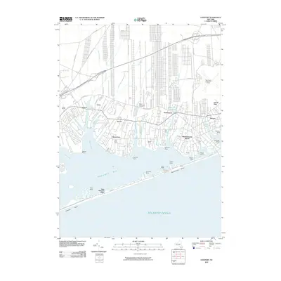 2010 Eastport2010 Print · USGSCoastal Suffolk County is captured here at the start of the 2010s, showing the intricate waterfronts of the South Shore. Genealogists and local historians can locate the Tuthill Burial Ground, Lufker Airport, and the varied necks and points along Moriches Bay.
 - 2010 Map of Moriches, 2010 Print
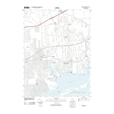 2010 Moriches2010 Print · USGSThe South Shore of Long Island is captured here at a moment of modern residential density alongside protected coastal heritage. Researchers can trace family history at the William Hawkins and Daniel Downs Cemetery or explore the extensive grounds of the William Floyd Estate.
 - 2010 Map of Riverhead, 2010 Print
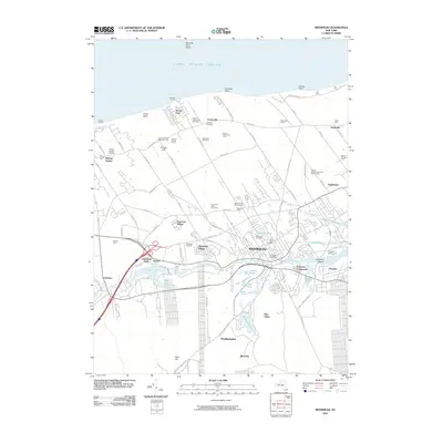 2010 Riverhead2010 Print · USGSThe North Fork of Long Island at the dawn of the 2010s shows a landscape of agricultural heritage and expanding residential villages. Genealogists and historians can trace family farmsteads like Edward Zilnicki Farms or locate ancestors in Saint Johns Cemetery and Riverhead Cemetery.
 - 2013 Map of Riverhead, 2013 Print
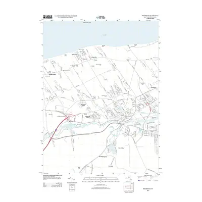 2013 Riverhead2013 Print · USGSSuffolk County in the early twenty-first century reveals a blend of coastal agriculture and suburban growth between the Peconic River and the Sound. Trace local history at the Baiting Hollow Cem, follow the Long Island Railroad line, or explore the legacy of Wells Farm.
 - 2013 Map of Eastport, 2013 Print
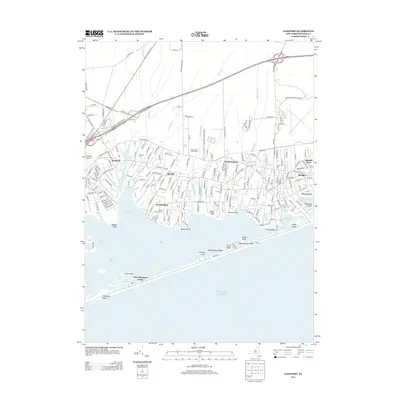 2013 Eastport2013 Print · USGSCoastal Suffolk County comes into sharp focus during the early 2010s, showing the residential hamlets of the South Shore and their connection to the Atlantic. Genealogists and researchers can trace local family landmarks like the Tuthill Burial Ground and Eastport Cem, or follow the path of the Long Island RR.
 - 2013 Map of Moriches, 2013 Print
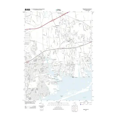 2013 Moriches2013 Print · USGSLong Island's south shore comes into focus in this early twenty-first century record of Brookhaven's coastal hamlets and tidal inlets. Researchers can trace the grounds of the William Floyd Estate, locate the Old Presbyterian Cem, or find the former New York National Speedway.
 - 2016 Map of Moriches, 2016 Print
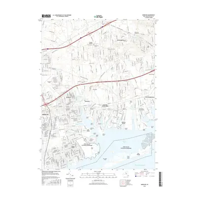 2016 Moriches2016 Print · USGSThe South Shore of Long Island is mapped here just as the modern suburban character of the mid-2010s was fully established. Genealogists can trace small family burial sites like the Wines Private Graveyard or explore the coastal reaches of Narrow Bay and the Forge River.
 - 2016 Map of Eastport, 2016 Print
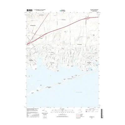 2016 Eastport2016 Print · USGSThe South Shore of Long Island is captured here during its modern era, showcasing the tidal inlets and hamlets from Eastport to Westhampton Beach. Genealogists and historians can trace the Tuthill Burial Ground and the shoreline of Seatuck Cove.
 - 2016 Map of Riverhead, 2016 Print
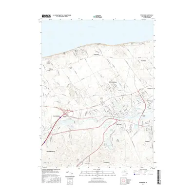 2016 Riverhead2016 Print · USGSRiverhead and its surrounding hamlets are captured here at the head of the Peconic estuary in the mid-2010s. Local researchers can trace family landmarks and community sites from Baiting Hollow Cem to the campus of Long Island University-Riverhead and Merritts Pond.
 - 2019 Map of Eastport, 2019 Print
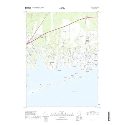 2019 Eastport2019 Print · USGSThe south shore of Long Island is mapped here just before the 2020s, showing the developed coastal communities and barrier beaches of Suffolk County. Genealogists and local historians can trace legacy sites like the Tuthill Burial Ground or the transit corridor of the Long Island RR near Speonk.
 - 2019 Map of Riverhead, 2019 Print
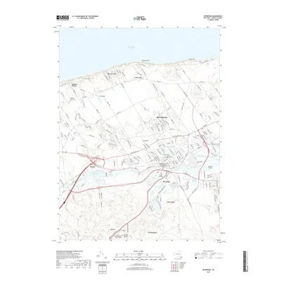 2019 Riverhead2019 Print · USGSSuffolk County's north shore and the Peconic River valley are meticulously detailed in the late 2010s. Researchers can locate civic landmarks like the Suffolk County Courthouse or trace coastal properties near Roanoke Point and Baiting Hollow.
 - 2019 Map of Moriches, 2019 Print
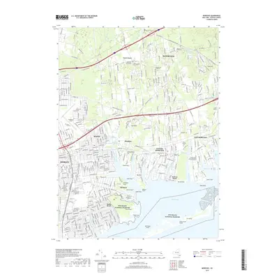 2019 Moriches2019 Print · USGSThe south shore of Long Island is documented here during a period of dense residential expansion and coastal preservation. Genealogists and historians can locate numerous family burial grounds, such as the Robinson Family Cem and the Old Beachfern Cem.
End of results
Showing maps 1-12 of 12
Top cities near Eastport
- Brookhaven historical maps
- Southampton historical maps
- Riverhead historical maps
- Shirley historical maps
- Southold historical maps
- East Patchogue historical maps
See more
Frequently asked questions
- What are the different types of historical maps available for Eastport?
- What is the oldest map of Eastport?
- Where can I purchase historical maps of Eastport for my home or office?
- Where can I download high-res historical maps of Eastport?
- Are there historical topographic maps available for Eastport?
- Is there historical aerial imagery available for Eastport?
- Where are historical maps of Eastport sourced from?