Old Maps of Comstock, Fort Ann for Academic Research
Study the evolution of Comstock with 20 high-resolution historic maps. Whether you're teaching, researching, or modeling changes in land use, these maps provide essential visual documentation of urban, environmental, and geographic change.
- Analyze long-term change: Track patterns in development, transportation, and natural features.
- Ideal for environmental or urban studies: Support academic projects with primary historical map data.
- Use in the classroom or lab: Educators and researchers rely on these maps to bring historical context to life.
These maps are a powerful tool for teaching, research, and visualizing how Comstock has changed over the decades.
Comstock, Fort Ann maps
(20)- 1893 Map of Fort Ann, 1954 Print
 1893 Fort Ann1954 Print · USGSWashington County was a crossroads of canal and rail commerce in the late nineteenth century. Genealogists and local historians can trace the foundations of Granville, locate family homes near Chamberlain Mills, and follow the path of the Abandoned Delaware and Hudson Canal.2 unique versions available
 - 1895 Map of Fort Ann
 1895 Fort Ann1895 Print · USGSWashington County in the late nineteenth century is a landscape defined by the Saratoga and Champlain Canal and early railroads. You can trace the development of hamlets like Chamberlain Mills and Truthville as they appeared before the modern era.
 - 1898 Map of Fort Ann
 1898 Fort Ann1898 Print · USGSUpper Washington County at the close of the nineteenth century reveals a landscape dominated by the Champlain Canal and the Mettawee River. Genealogists and local historians can trace early settlements and transit points like Smith Basin, Chamberlain Mills, and Battle Hill.
 - 1901 Map of Fort Ann
 1901 Fort Ann1901 Print · USGSWashington County at the close of the nineteenth century was a vital corridor of New York commerce, defined by its historic canal and rail lines. You can trace the early industrial landscape through Smith Basin, find family homesteads near Slyboro, and follow the Mettawee River as it crosses the Vermont border.
 - 1903 Map of Mettawee
 1903 Mettawee1903 Print · USGSThe New York and Vermont borderlands come alive in this turn-of-the-century survey of the Mettawee Valley. Genealogists can trace family footprints from Middletown Springs down to the Saratoga and Champlain Canal at Fort Ann.2 unique versions available
 - 1904 Map of Fort Ann
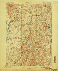 1904 Fort Ann1904 Print · USGSWashington County at the turn of the century shows a landscape defined by the slate industry and early rail lines along the Vermont border. Genealogists can locate family lands near Chamberlain Mills, Smith Basin, and the crossroads of North Hebron or Slyboro.6 unique versions available
 - 1944 Map of Fort Ann, 1958 Print
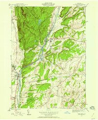 1944 Fort Ann1958 Print · USGSWashington County during the mid-forties shows a landscape shaped by major New York waterways and the Delaware and Hudson railroad. Genealogists and local historians can locate family landmarks like Welch Hollow Cem, Rathbunville Sch, and the State Prison at Comstock.3 unique versions available
 - 1946 Map of Fort Ann
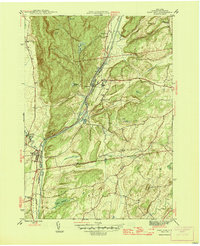 1946 Fort Ann1946 Print · USGSWashington County in the mid-forties shows a landscape defined by the busy transit corridor of the Hudson Barge Canal. Genealogists and local historians can locate rural landmarks like Baker Cem, School No 18, and the small settlement of Rathbunville.
 - 1947 Map of Fort Ann, 1948 Print
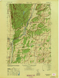 1947 Fort Ann1948 Print · USGSPost-war Washington County reveals a landscape built around the Champlain Canal and the Delaware and Hudson rail corridor. Genealogists and historians can trace family-named sites like Welch Hollow Cem, Baker Cem, and School No 18.
 - 1950 Map of Glens Falls
 1950 Glens Falls1950 Print · USGSThe Adirondacks and the Green Mountains meet in this mid-century survey of the New York and Vermont borderlands. Researchers can trace the industrial rail corridors of the Rutland RR and Delaware & Hudson RR connecting Glens Falls, Rutland, and the shores of Lake George.
 - 1956 Map of Glens Falls, 1968 Print
 1956 Glens Falls1968 Print · USGSUpper New York and the Vermont mountains are captured here in the mid-fifties, showing the rugged rail-and-river network of the Northeast. Researchers can trace the paths of the Delaware and Hudson RR and Rutland RR as they wind through valley towns like Poultney and Whitehall.3 unique versions available
 - 1959 Map of Glens Falls
 1959 Glens Falls1959 Print · USGSUpper New York and Vermont are captured here during the late 1950s, a period of transition for these mountain communities. Researchers can trace the legacy of the region's river-and-rail economy through landmarks like Lake George, Saratoga Springs, and Killington Peak.2 unique versions available
 - 1964 Map of Glens Falls
 1964 Glens Falls1964 Print · USGSThe tri-state borderlands of New York, Vermont, and New Hampshire appear here in the mid-1960s. Researchers can trace the rail routes of the Rutland RR and find historic sites like Ticonderoga and Saratoga National Historical Park.
 - 1986 Map of Glens Falls
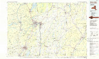 1986 Glens Falls1986 Print · USGSThe Upper Hudson Valley and Vermont borderlands come together in this mid-eighties survey of industrial river towns and mountain retreats. Genealogists and historians can trace the rail lines of the Delaware and Hudson Railway or locate landmarks like the Mount McGregor Correctional Facility and Saratoga Spa State Park.2 unique versions available
 - 1989 Map of Glens Falls
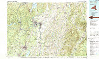 1989 Glens Falls1989 Print · USGSThe Upper Hudson Valley and the Vermont borderlands are captured here during the late eighties, showing a landscape of river-town industry and mountain recreation. Researchers can trace the Champlain Canal, the Delaware and Hudson RR, and historic sites like Saratoga National Historical Park.
 - 2010 Map of Fort Ann, 2010 Print
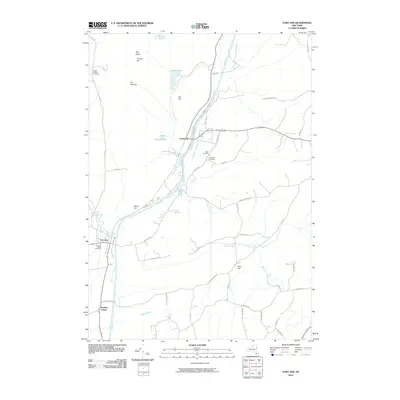 2010 Fort Ann2010 Print · USGSWashington County at the start of the 2010s shows a landscape deeply shaped by the historic Champlain Canal. Genealogists and local historians can trace family locations near Fort Ann Village Cemetery or identify early landmarks like Orebed Hill and Kane Falls.
 - 2013 Map of Fort Ann, 2013 Print
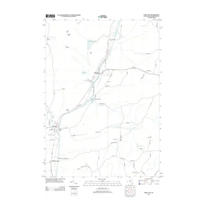 2013 Fort Ann2013 Print · USGSUpper Washington County in the early twenty-first century remains defined by its historic waterway and farm-to-market roads. Genealogists and local historians can trace family locations near the Champlain Canal or locate ancestors at the Ft Ann Village Cem and Comstock Cem.
 - 2016 Map of Fort Ann, 2016 Print
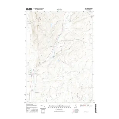 2016 Fort Ann2016 Print · USGSThe village of Fort Ann and the surrounding Washington County hills are captured here in the mid-2010s. Researchers can trace local burial sites at Comstock Cemetery and Welch Hollow Cemetery, or locate crossings like Deweys Bridge Road Bridge.
 - 2019 Map of Fort Ann, 2019 Print
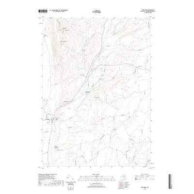 2019 Fort Ann2019 Print · USGSFort Ann and the surrounding Washington County countryside are shown here in the early twenty-first century as the landscape balances its industrial history with natural preserves. Researchers can locate family sites and landmarks like Fort Ann Cem, Battle Hill, and the historic crossing at Deweys Bridge Road Bridge.
 - 2023 Map of Fort Ann, 2023 Print
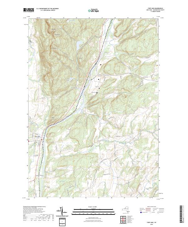 2023 Fort Ann2023 Print · USGSWashington County settlement and rugged Adirondack foothills meet in this contemporary survey of the Fort Ann area. Genealogists and hikers can trace local lineages at Baker Cem or navigate the elevations of Battle Hill and The Pinnacle.
End of results
Showing maps 1-20 of 20
Top cities near Comstock
- Queensbury historical maps
- Moreau historical maps
- Glens Falls historical maps
- Kingsbury historical maps
- Hudson Falls historical maps
- Granville historical maps
See more
Frequently asked questions
- What are the different types of historical maps available for Comstock?
- What is the oldest map of Comstock?
- Where can I purchase historical maps of Comstock for my home or office?
- Where can I download high-res historical maps of Comstock?
- Are there historical topographic maps available for Comstock?
- Is there historical aerial imagery available for Comstock?
- Where are historical maps of Comstock sourced from?