Old Maps of Greenwich, New York for Academic Research
Study the evolution of Greenwich with 43 high-resolution historic maps. Whether you're teaching, researching, or modeling changes in land use, these maps provide essential visual documentation of urban, environmental, and geographic change.
- Analyze long-term change: Track patterns in development, transportation, and natural features.
- Ideal for environmental or urban studies: Support academic projects with primary historical map data.
- Use in the classroom or lab: Educators and researchers rely on these maps to bring historical context to life.
These maps are a powerful tool for teaching, research, and visualizing how Greenwich has changed over the decades.
Greenwich, NY maps
(43)- 1895 Map of Cambridge
 1895 Cambridge1895 Print · USGSWashington County, New York, is captured in the 1890s as a landscape of interconnected rail lines and riverside villages. Genealogists and historians can trace the paths of the Rutland and Washington R.R. through Salem or locate family roots in hamlets like Pumpkin Hook and Shushan.
 - 1898 Map of Cambridge
 1898 Cambridge1898 Print · USGSWashington County at the close of the nineteenth century was a landscape of river-powered hamlets and busy rail corridors. Researchers can trace ancestral farmsteads and early industry near Batten Kill or explore the rail stops at Easton Sta. and Salem.
 - 1900 Map of Schuylerville
 1900 Schuylerville1900 Print · USGSUpper Hudson Valley life at the close of the nineteenth century centers on the busy canal and river corridor. Researchers can trace the Champlain Canal through Schuylerville and Fort Miller, or locate family sites near the Saratoga Battle Field and Gansevoort.7 unique versions available
 - 1901 Map of Cambridge
 1901 Cambridge1901 Print · USGSWashington County at the turn of the century is a landscape of river-powered industry and sprawling rail networks connecting New York to Vermont. Genealogists and historians can trace the paths of the Batten Kill, find old rail stops at Easton Sta., and locate vanished names like Pumpkin Hook.8 unique versions available
 - 1903 Map of Mettawee
 1903 Mettawee1903 Print · USGSThe New York and Vermont borderlands come alive in this turn-of-the-century survey of the Mettawee Valley. Genealogists can trace family footprints from Middletown Springs down to the Saratoga and Champlain Canal at Fort Ann.2 unique versions available
 - 1935 Map of Schuylerville
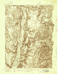 1935 Schuylerville1935 Print · USGSThe Hudson River valley around Schuylerville and Greenwich is mapped here in the mid-1930s, showing the early evolution of the Saratoga region's industrial and historic landscape. Genealogists and historians can locate family landmarks like Rafferty Sch, the St Josephs Cem, and the now-quiet Champlain Canal (Abandoned).
 - 1935 Map of Fort Miller
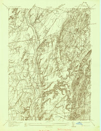 1935 Fort Miller1935 Print · USGSThe Hudson River and its engineering works dominate this mid-1930s landscape along the border of Washington and Saratoga counties. Genealogists can locate family landmarks like Ellis Farm or trace ancestors through Fort Miller Cem and the numerous rural schoolhouses such as Argyle Sch.
 - 1940 Map of Schuylerville
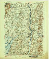 1940 Schuylerville1940 Print · USGSSaratoga and Washington Counties are shown here just before the mid-century, defined by the industrial river towns and the grounds of the Saratoga Battlefield. Genealogists can trace family names at Clarks Corners or Quaker Springs and locate early 20th-century landmarks like the Saratoga Battle Monument.3 unique versions available
 - 1944 Map of Cambridge, 1955 Print
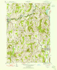 1944 Cambridge1955 Print · USGSMid-century Washington County reveals a landscape shaped by the Batten Kill and early rail corridors before the modern highway era. Researchers can trace historic property locations near Woodland Cem, rural schoolhouses like School No 1, and the rail lines of the Delaware and Hudson.3 unique versions available
 - 1944 Map of Cossayuna, 1958 Print
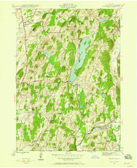 1944 Cossayuna1958 Print · USGSWashington County's rural character is on full display in the mid-1940s, showing a landscape defined by upland lakes and valley farms. Genealogists can trace family names through the Argyle Cem, visit the County Farm, or follow the Greenwich and Johnsonville rail line.3 unique versions available
 - 1946 Map of Cossayuna
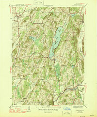 1946 Cossayuna1946 Print · USGSWashington County at the end of the Second World War shows a rural landscape of ridge-top farms and valley settlements centered around Cossayuna Lake. Genealogists can locate family-named landmarks and old institutions like the County Farm and Rock Hill Sch.
 - 1946 Map of Cambridge
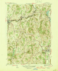 1946 Cambridge1946 Print · USGSWashington County during the mid-forties reveals a landscape of river-valley rail towns and upland dairy farms. Genealogists and local historians can trace the foundations of Cambridge and Greenwich, locating specific landmarks like Woodland Cem and the Cary Sch.2 unique versions available
 - 1947 Map of Schuylerville, 1958 Print
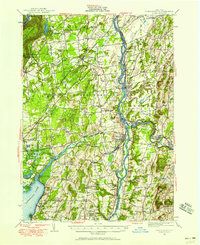 1947 Schuylerville1958 Print · USGSUpper Hudson Valley life and Revolutionary War heritage meet in the late 1940s. Trace the path of the Champlain Canal and find local landmarks like the Saratoga Battle Monument and the Fernwood Trout Hatchery.3 unique versions available
 - 1949 Map of Schuylerville
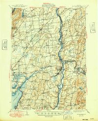 1949 Schuylerville1949 Print · USGSUpper Hudson Valley life in the late nineteen-forties centers on the river and its canal, shortly after the national park was established. Genealogists and historians can trace family locations near Victory Mills, old rural burial grounds like Griswold Cem, and the Fernwood Trout Hatchery.
 - 1950 Map of Glens Falls
 1950 Glens Falls1950 Print · USGSThe Adirondacks and the Green Mountains meet in this mid-century survey of the New York and Vermont borderlands. Researchers can trace the industrial rail corridors of the Rutland RR and Delaware & Hudson RR connecting Glens Falls, Rutland, and the shores of Lake George.
 - 1951 Map of Cossayuna
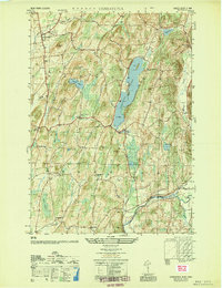 1951 Cossayuna1951 Print · USGSWashington County in the early fifties is mapped here as a land of lakeside hamlets and upland ridges. Genealogists and historians can locate legacy sites like the County Farm, the Argyle Cem, and rural schoolhouses including Rock Hill Sch.
 - 1956 Map of Glens Falls, 1968 Print
 1956 Glens Falls1968 Print · USGSUpper New York and the Vermont mountains are captured here in the mid-fifties, showing the rugged rail-and-river network of the Northeast. Researchers can trace the paths of the Delaware and Hudson RR and Rutland RR as they wind through valley towns like Poultney and Whitehall.3 unique versions available
 - 1959 Map of Glens Falls
 1959 Glens Falls1959 Print · USGSUpper New York and Vermont are captured here during the late 1950s, a period of transition for these mountain communities. Researchers can trace the legacy of the region's river-and-rail economy through landmarks like Lake George, Saratoga Springs, and Killington Peak.2 unique versions available
 - 1964 Map of Glens Falls
 1964 Glens Falls1964 Print · USGSThe tri-state borderlands of New York, Vermont, and New Hampshire appear here in the mid-1960s. Researchers can trace the rail routes of the Rutland RR and find historic sites like Ticonderoga and Saratoga National Historical Park.
 - 1967 Map of Schuylerville, 1970 Print
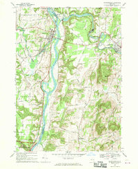 1967 Schuylerville1970 Print · USGSThe Hudson River valley and the industrial corridor of the Batten Kill are captured here in the late sixties. Genealogists and local historians can trace family-named routes like Hanehan Rd and landmarks including Victory Mills and Starks Knob.
 - 1967 Map of Ft Miller, 1970 Print
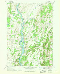 1967 Ft Miller1970 Print · USGSThe Hudson River valley north of Schuylerville comes into focus in the late 1960s, showing a landscape shaped by river transport and upland farming. Researchers can trace the path of the Champlain Canal or locate family homesteads along Gavettes Road and Hunter Road.2 unique versions available
 - 1986 Map of Glens Falls
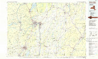 1986 Glens Falls1986 Print · USGSThe Upper Hudson Valley and Vermont borderlands come together in this mid-eighties survey of industrial river towns and mountain retreats. Genealogists and historians can trace the rail lines of the Delaware and Hudson Railway or locate landmarks like the Mount McGregor Correctional Facility and Saratoga Spa State Park.2 unique versions available
 - 1989 Map of Glens Falls
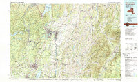 1989 Glens Falls1989 Print · USGSThe Upper Hudson Valley and the Vermont borderlands are captured here during the late eighties, showing a landscape of river-town industry and mountain recreation. Researchers can trace the Champlain Canal, the Delaware and Hudson RR, and historic sites like Saratoga National Historical Park.
 - 2010 Map of Cambridge, 2010 Print
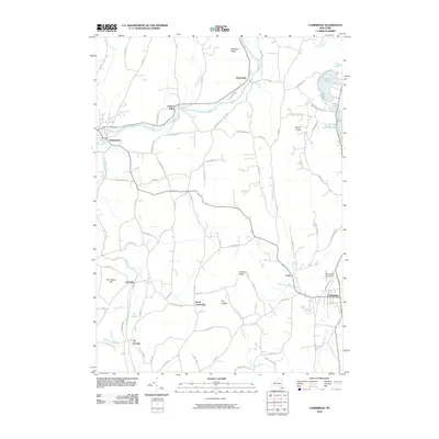 2010 Cambridge2010 Print · USGSWashington County at the start of the 2010s shows a landscape of historic river towns and agricultural ridges. Researchers can trace local lineage and landmarks from the village of Greenwich to Woodland Cemetery and the waters of Hedges Lake.
 - 2010 Map of Fort Miller, 2010 Print
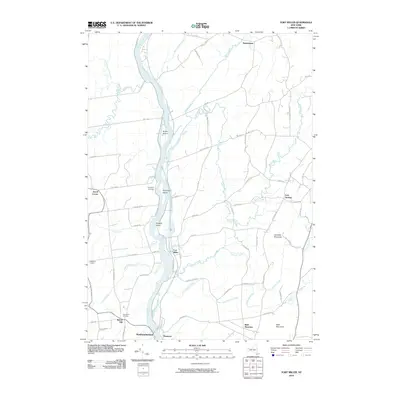 2010 Fort Miller2010 Print · USGSThe riverfront hamlets of the Hudson River valley are captured here just after the turn of the millennium. Local researchers can trace family lands near Fort Miller, identify rural burials at Bacon Hill Cemetery, and follow the winding course of Moses Kill.
Showing maps 1-25 of 43
Top cities near Greenwich
- Queensbury historical maps
- Saratoga Springs historical maps
- Halfmoon historical maps
- Wilton historical maps
- Moreau historical maps
- Glens Falls historical maps
See more
Top neighborhoods of Greenwich
- Clarks Mills historical maps
- Bald Mountain historical maps
- Thomson historical maps
- Cossayuna historical maps
- East Greenwich historical maps
- Center Falls historical maps
See more
Frequently asked questions
- What are the different types of historical maps available for Greenwich?
- What is the oldest map of Greenwich?
- Where can I purchase historical maps of Greenwich for my home or office?
- Where can I download high-res historical maps of Greenwich?
- Are there historical topographic maps available for Greenwich?
- Is there historical aerial imagery available for Greenwich?
- Where are historical maps of Greenwich sourced from?