Old Maps of Rose, New York for Academic Research
Study the evolution of Rose with 27 high-resolution historic maps. Whether you're teaching, researching, or modeling changes in land use, these maps provide essential visual documentation of urban, environmental, and geographic change.
- Analyze long-term change: Track patterns in development, transportation, and natural features.
- Ideal for environmental or urban studies: Support academic projects with primary historical map data.
- Use in the classroom or lab: Educators and researchers rely on these maps to bring historical context to life.
These maps are a powerful tool for teaching, research, and visualizing how Rose has changed over the decades.
Rose, NY maps
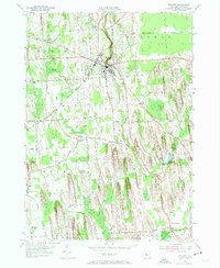
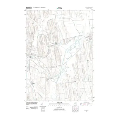
(27)- 1902 Map of Clyde
 1902 Clyde1902 Print · USGSUpper New York state at the turn of the century shows a dense network of competing rail and water routes. Trace the path of the Erie Canal and find defunct stretches like the Erie Canal (Abandoned) alongside the Clyde River.8 unique versions available
 - 1943 Map of Lyons
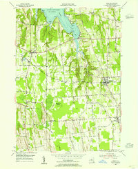
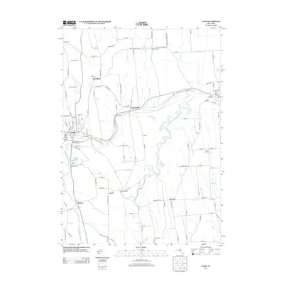
 1943 Lyons1943 Print · USGSThe village of Lyons and its neighboring hamlets are captured in the early 1940s during a period of transition for the historic Erie Canal. Researchers can trace old family sites at Fergusons Corners, local schoolhouses, and several burial grounds including Rural Cem.
 - 1943 Map of Wolcott
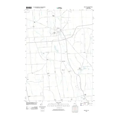
 1943 Wolcott1943 Print · USGSWayne County farming communities thrive in the early 1940s, connected by a network of rural roads and small hamlets. Genealogists can trace family roots through numerous sites like Sunnyside Church, Butler Savannah Cem, and Maunders Corners.
 - 1943 Map of Rose
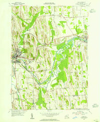
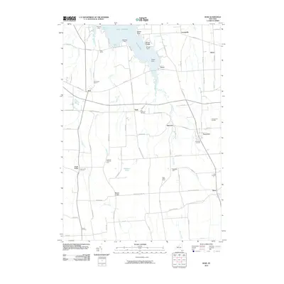
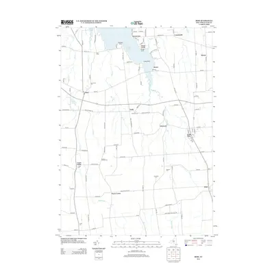
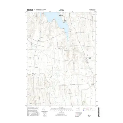
 1943 Rose1943 Print · USGSMid-century Wayne County agriculture and shoreline living are on display in this survey of the eastern Sodus Bay region. Genealogists can locate family homesteads near York Settlement, Barton Cem, and numerous district schools like School No 16.
 - 1953 Map of Wolcott, 1955 Print
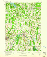
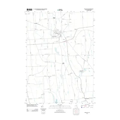
 1953 Wolcott1955 Print · USGSWayne County farming and industry are captured here in the early 1950s, showing the intricate network of drumlins and stream valleys. Genealogists can locate family-named intersections like Maunders Corners and remote burials at Roe Cem or Hubbard Cem.3 unique versions available
 - 1953 Map of Rose, 1955 Print
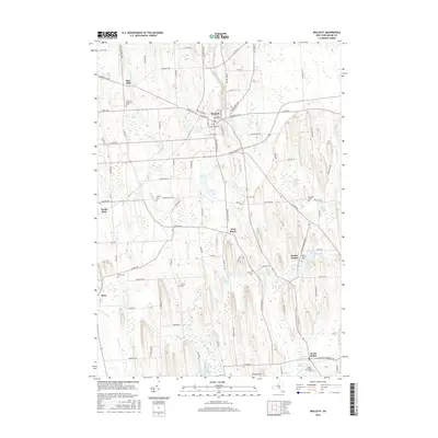
 1953 Rose1955 Print · USGSWayne County's lakeshore and farming hamlets are preserved here in the mid-fifties, showing the region's rail-dependent rural economy. You can trace family roots through Rose Cem, locate the rail stops at North Rose, or explore the shoreline at Bonni Castle.4 unique versions available
 - 1953 Map of Lyons, 1955 Print
 1953 Lyons1955 Print · USGSWayne County's canal and rail corridor is captured here in the early fifties, showing the industrial and agricultural landscape between Lyons and Clyde. Genealogists and historians can trace family-named sites like Fergusons Corners and Alloway, or locate the historic Lock Berlin and Elmwood Cem.3 unique versions available
 - 1953 Map of Clyde, 1961 Print
 1953 Clyde1961 Print · USGSWayne County is shown in the early fifties, defined by the industrial hubs of Lyons and Clyde along the historic Erie Canal. Researchers can trace old family sites at Lockwood Corners, locate the White Schoolhouse, or find the Rice Mill near the marshlands.
 - 1960 Map of Rochester
 1960 Rochester1960 Print · USGSThe Lake Ontario shoreline in the late fifties was a bustling corridor of rail and water commerce. Genealogists and historians can trace the path of the New York Central through canal towns like Newark or explore the coastal landmarks around Sackets Harbor.2 unique versions available
 - 1961 Map of Rochester, 1973 Print
 1961 Rochester1973 Print · USGSThe Lake Ontario shoreline and Finger Lakes frontier are shown here at the height of the mid-century infrastructure boom. Genealogists and historians can trace the rail-and-road evolution from Sackets Harbor down to the New York State Thruway, passing through centers like Pulaski and Adams Center.3 unique versions available
 - 1965 Map of Rochester
 1965 Rochester1965 Print · USGSUpstate New York's industrial heartland is captured here during a period of significant growth between the Great Lakes and the Finger Lakes. Genealogists and historians can trace the evolution of canal towns and rail hubs from Rochester to Syracuse, noting features like the Erie Canal and the New York State Thruway.
 - 1985 Map of Syracuse
 1985 Syracuse1985 Print · USGSCentral New York in the mid-eighties shows a landscape of established canal towns and growing metropolitan suburbs linked by rail and water. Researchers can trace the path of the Erie Canal, find the boundaries of Montezuma Marsh, and locate regional landmarks like Oneida Lake and Chimney Bluffs.3 unique versions available
 - 2010 Map of Rose, 2010 Print
 2010 Rose2010 Print · USGSCovers Rose, including Sodus, Lyons, and other nearby areas
 - 2010 Map of Wolcott, 2010 Print
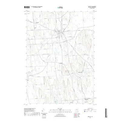
 2010 Wolcott2010 Print · USGSCovers Rose, including Galen, Wolcott, and other nearby areas
 - 2011 Map of Lyons, 2011 Print
 2011 Lyons2011 Print · USGSCovers Rose, including Phelps, Lyons, and other nearby areas
 - 2013 Map of Wolcott, 2013 Print
 2013 Wolcott2013 Print · USGSCovers Rose, including Galen, Wolcott, and other nearby areas
 - 2013 Map of Lyons, 2013 Print
 2013 Lyons2013 Print · USGSCovers Rose, including Phelps, Lyons, and other nearby areas
 - 2013 Map of Rose, 2013 Print
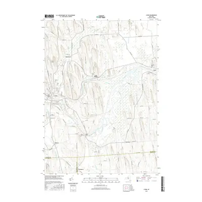
 2013 Rose2013 Print · USGSCovers Rose, including Sodus, Lyons, and other nearby areas
 - 2016 Map of Wolcott, 2016 Print
 2016 Wolcott2016 Print · USGSCovers Rose, including Galen, Wolcott, and other nearby areas
 - 2016 Map of Rose, 2016 Print
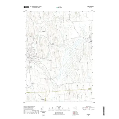
 2016 Rose2016 Print · USGSCovers Rose, including Sodus, Lyons, and other nearby areas
 - 2016 Map of Lyons, 2016 Print
 2016 Lyons2016 Print · USGSCovers Rose, including Phelps, Lyons, and other nearby areas
 - 2019 Map of Rose, 2019 Print
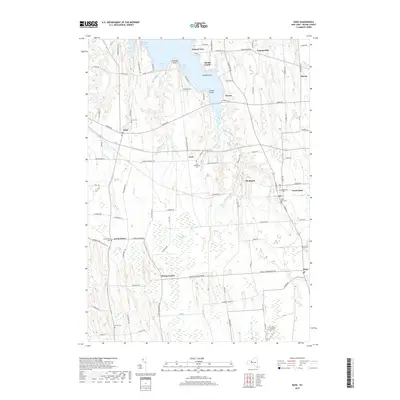 2019 Rose2019 Print · USGSCovers Rose, including Sodus, Lyons, and other nearby areas
 - 2019 Map of Lyons, 2019 Print
 2019 Lyons2019 Print · USGSCovers Rose, including Phelps, Lyons, and other nearby areas
 - 2019 Map of Wolcott, 2019 Print
 2019 Wolcott2019 Print · USGSCovers Rose, including Galen, Wolcott, and other nearby areas
 - 2023 Map of Lyons, 2023 Print
 2023 Lyons2023 Print · USGSWayne County's agricultural heartland and canal heritage are visible in this detailed survey, centered on the historic village of Lyons. Researchers can trace old transportation corridors along the Erie Canal or locate local landmarks like Lock Berlin, Alloway, and several cemeteries including Oak Hill Cem.
Showing maps 1-25 of 27
Top cities near Rose
- Arcadia historical maps
- Seneca Falls historical maps
- Newark historical maps
- Sodus historical maps
- Waterloo historical maps
- Phelps historical maps
See more
Top neighborhoods of Rose
Frequently asked questions
- What are the different types of historical maps available for Rose?
- What is the oldest map of Rose?
- Where can I purchase historical maps of Rose for my home or office?
- Where can I download high-res historical maps of Rose?
- Are there historical topographic maps available for Rose?
- Is there historical aerial imagery available for Rose?
- Where are historical maps of Rose sourced from?