2000s (21st Century) Maps of Yates County, New York
Explore 75 historic maps of Yates County from the 2000s (21st Century). These maps offer a rare glimpse into what life looked like during the 2000s — showing old roads, neighborhoods, homes, and landmarks that have changed or disappeared over time.
Whether you're researching your family's past, planning a metal detecting trip, or studying how Yates County's landscape evolved across the 2000s, these high-resolution maps are a powerful tool for exploring the history of this region.
- Focus on a specific era: All maps on this page are from the 2000s, giving you a focused view of this time period.
- See what’s changed: Compare century-old streets, trails, and buildings to today's modern landscape using overlays and satellite layers.
- Research with precision: Use these maps for genealogy, historical research, land use analysis, or educational projects.
- View, download, or print: Maps are fully viewable online in high resolution, and can be downloaded or printed for your own records.
Start exploring Yates County's history through authentic maps from the 2000s. This is your window into the past.
Yates County, NY maps
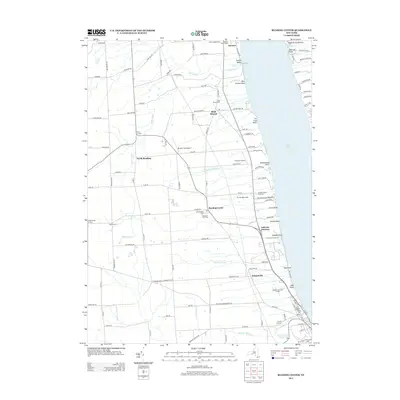
(75)- 2010 Map of Reading Center, 2010 Print
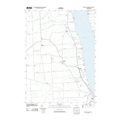 2010 Reading Center2010 Print · USGSCovers Yates County, including Hector, Dix, and other nearby areas
 - 2010 Map of Hammondsport, 2010 Print
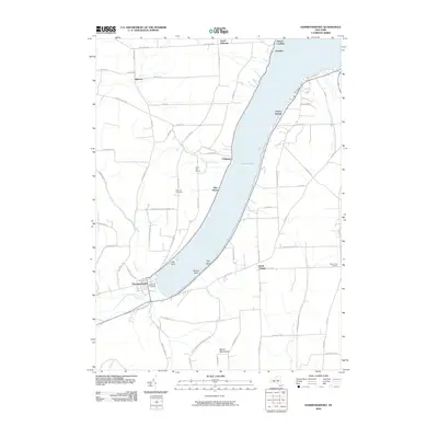 2010 Hammondsport2010 Print · USGSCovers Yates County, including Jerusalem, Urbana, and other nearby areas
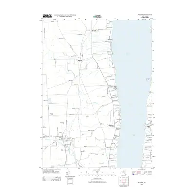
 - 2010 Map of Wayne, 2010 Print
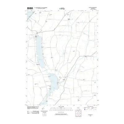 2010 Wayne2010 Print · USGSCovers Yates County, including Jerusalem, Tyrone, and other nearby areas
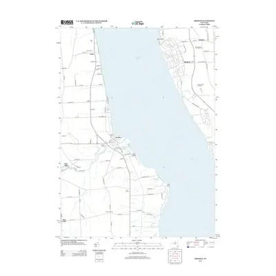
 - 2010 Map of Canandaigua Lake, 2010 Print
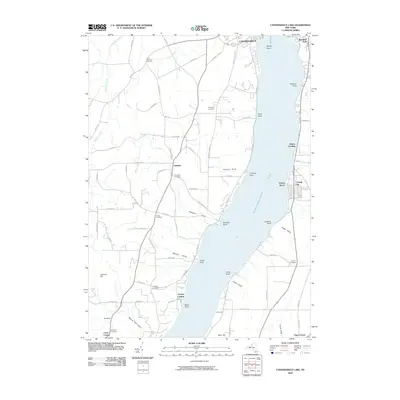 2010 Canandaigua Lake2010 Print · USGSCovers Yates County, including Canandaigua, Canandaigua, and other nearby areas
 - 2010 Map of Keuka Park, 2010 Print
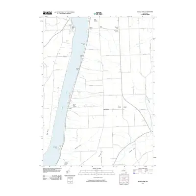 2010 Keuka Park2010 Print · USGSCovers Yates County, including Milo, Jerusalem, and other nearby areas
 - 2010 Map of Potter, 2010 Print
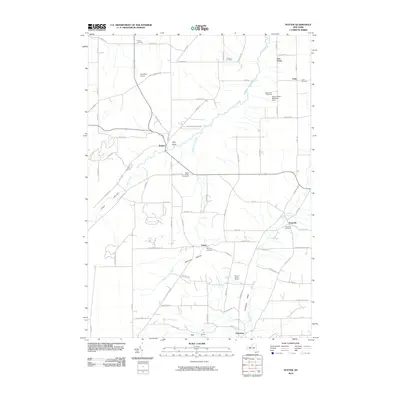 2010 Potter2010 Print · USGSCovers Yates County, including Jerusalem, Potter, and other nearby areas
 - 2010 Map of Geneva South, 2010 Print
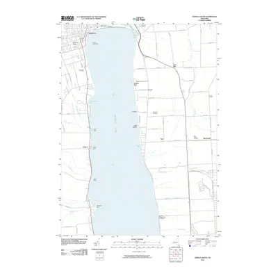 2010 Geneva South2010 Print · USGSCovers Yates County, including Geneva, Waterloo, and other nearby areas
 - 2010 Map of Middlesex, 2010 Print
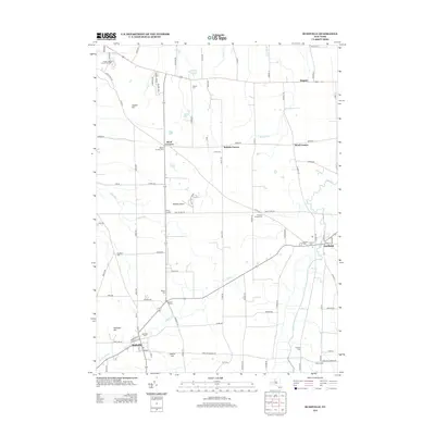
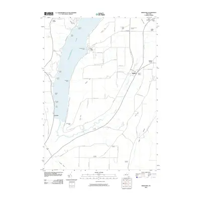 2010 Middlesex2010 Print · USGSCovers Yates County, including Naples, Potter, and other nearby areas
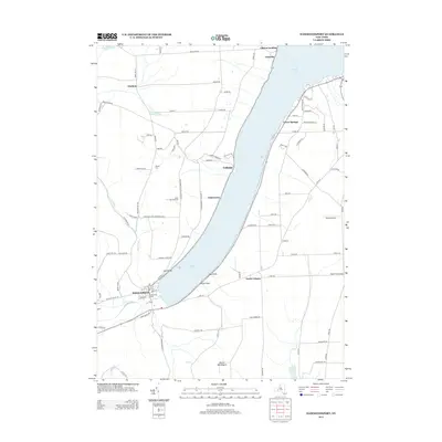
 - 2010 Map of Dresden, 2010 Print
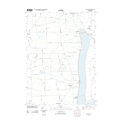
 2010 Dresden2010 Print · USGSCovers Yates County, including Milo, Romulus, and other nearby areas
 - 2010 Map of Pulteney, 2010 Print
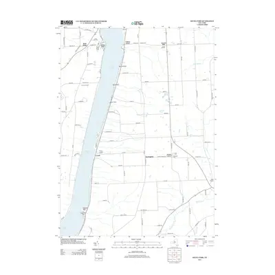
 2010 Pulteney2010 Print · USGSCovers Yates County, including Jerusalem, Prattsburgh, and other nearby areas
 - 2010 Map of Penn Yan, 2010 Print
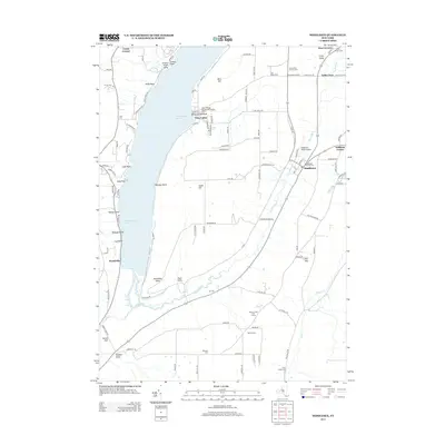
 2010 Penn Yan2010 Print · USGSCovers Yates County, including Milo, Penn Yan, and other nearby areas
 - 2010 Map of Rushville, 2010 Print
 2010 Rushville2010 Print · USGSCovers Yates County, including Canandaigua, Canandaigua, and other nearby areas
 - 2010 Map of Stanley, 2010 Print
 2010 Stanley2010 Print · USGSCovers Yates County, including Geneva, Gorham, and other nearby areas
 - 2010 Map of Dundee, 2010 Print
 2010 Dundee2010 Print · USGSCovers Yates County, including Milo, Hector, and other nearby areas
 - 2010 Map of Prattsburg, 2010 Print
 2010 Prattsburg2010 Print · USGSCovers Yates County, including Naples, Prattsburgh, and other nearby areas
 - 2013 Map of Geneva South, 2013 Print
 2013 Geneva South2013 Print · USGSCovers Yates County, including Geneva, Waterloo, and other nearby areas
 - 2013 Map of Reading Center, 2013 Print
 2013 Reading Center2013 Print · USGSCovers Yates County, including Hector, Dix, and other nearby areas
 - 2013 Map of Dundee, 2013 Print
 2013 Dundee2013 Print · USGSCovers Yates County, including Milo, Hector, and other nearby areas
 - 2013 Map of Dresden, 2013 Print
 2013 Dresden2013 Print · USGSCovers Yates County, including Milo, Romulus, and other nearby areas
 - 2013 Map of Hammondsport, 2013 Print
 2013 Hammondsport2013 Print · USGSCovers Yates County, including Jerusalem, Urbana, and other nearby areas
 - 2013 Map of Rushville, 2013 Print
 2013 Rushville2013 Print · USGSCovers Yates County, including Canandaigua, Canandaigua, and other nearby areas
 - 2013 Map of Pulteney, 2013 Print
 2013 Pulteney2013 Print · USGSCovers Yates County, including Jerusalem, Prattsburgh, and other nearby areas
 - 2013 Map of Keuka Park, 2013 Print
 2013 Keuka Park2013 Print · USGSCovers Yates County, including Milo, Jerusalem, and other nearby areas
 - 2013 Map of Middlesex, 2013 Print
 2013 Middlesex2013 Print · USGSCovers Yates County, including Naples, Potter, and other nearby areas
 - 2013 Map of Penn Yan, 2013 Print
 2013 Penn Yan2013 Print · USGSCovers Yates County, including Milo, Penn Yan, and other nearby areas
Showing maps 1-25 of 75
Top cities of Yates County
- Milo historical maps
- Penn Yan historical maps
- Jerusalem historical maps
- Starkey historical maps
- Benton historical maps
- Potter historical maps
See more
Frequently asked questions
- What are the different types of historical maps available for Yates County?
- What is the oldest map of Yates County?
- Where can I purchase historical maps of Yates County for my home or office?
- Where can I download high-res historical maps of Yates County?
- Are there historical topographic maps available for Yates County?
- Is there historical aerial imagery available for Yates County?
- Where are historical maps of Yates County sourced from?