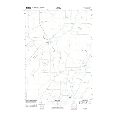
2010 Map of Potter
USGS Topo · Published 2010About this map
Flint Creek flows northward through the heart of this landscape, carving a path between the agricultural uplands and the low-lying Potter Swamp. The area is characterized by small rural settlements and family-run operations like Pendleton Farms and the Sugar Shack Blueberry Farm. The map reveals a high concentration of small, historic burial grounds, including the Friend's Burial Ground and the Old Fort Cemetery, reflecting the long-established lineage of local families in the Italy Valley and Guyanoga Valley.
Find a feature on this map
81 named features on this map. Tap any name to fly to it.
Don’t see what you’re looking for? This feature index may not catch every label — zoom into the map to look around manually.
Map Details
Editions of this 2010 Potter Map
This is the sole edition of this map. No revisions or reprints were ever made.
Other maps of this area

1900 · Naples
USGS Topo · 1:62,500

1900 · Canandaigua
USGS Topo · 1:62,500

1902 · Phelps
USGS Topo · 1:62,500

1903 · Naples
USGS Topo · 1:62,500

1903 · Canandaigua
USGS Topo · 1:62,500

1903 · Penn Yan
USGS Topo · 1:62,500

1913 · Naples
USGS Topo · 1:62,500

1942 · Prattsburg
USGS Topo · 1:31,680

1942 · Penn Yan
USGS Topo · 1:31,680

1942 · Pulteney
USGS Topo · 1:31,680