Old Maps of Elon, North Carolina for Hiking & Exploration
Hike through history with 30 historic maps of Elon. Explore old trails, ghost towns, and forgotten backroads — perfect for outdoor adventurers and local explorers.
- Rediscover forgotten places: Map out old mining camps, roads, and footpaths that no longer exist on modern maps.
- Layer with modern tools: Combine with LiDAR or satellite views to plan hikes through historical terrain.
- Made for exploration: Popular among hikers, overlanders, and local history lovers.
Use these maps to find adventure and explore the hidden past of Elon.
Elon, NC maps
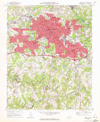
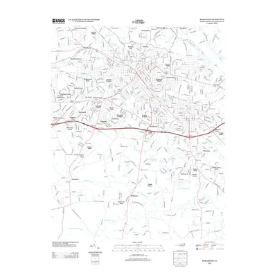
(30)- 1953 Map of Greensboro, 1981 Print
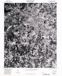
 1953 Greensboro1981 Print · USGSThe Piedmont borderlands of North Carolina and Virginia show a landscape defined by new reservoirs and old rail lines. Trace family roots and the changing river geography through Elon College, the John H Kerr Reservoir, and South Boston.
 - 1954 Map of Greensboro
 1954 Greensboro1954 Print · USGSThe Piedmont borderlands of North Carolina and Virginia come alive in this mid-fifties study of a region defined by its rivers and rails. Researchers can trace the growing Buggs Island Lake or follow the paths of the Southern Ry and Seaboard Air Line RR through towns like Oxford and Reidsville.
 - 1962 Map of Greensboro
 1962 Greensboro1962 Print · USGSThe Piedmont region along the Virginia and North Carolina border comes alive in the early 1960s, showing a landscape defined by industry and new reservoirs. Trace the path of the Virginian RR or explore the early development of Greensboro and Durham.
 - 1966 Map of Greensboro
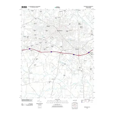
 1966 Greensboro1966 Print · USGSThe North Carolina and Virginia Piedmont thrives during the mid-sixties, showcasing a landscape of textile hubs and expanding river reservoirs. Researchers can trace the rail corridors of the Southern Railway, find local landmarks like Elon College, or locate the extensive Camp Butner Military Reservation.
 - 1969 Map of Burlington, 1972 Print
 1969 Burlington1972 Print · USGSMid-century Alamance County is captured here as the growing hubs of Burlington and Graham expand toward the Haw River. Local historians can trace the development of numerous neighborhood schools and churches, from Elon College to the Technical Institute of Alamance.2 unique versions available
 - 1969 Map of Lake Burlington, 1972 Print
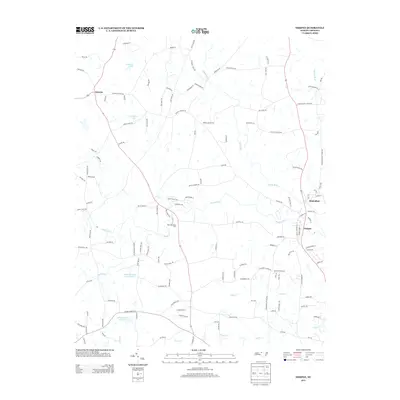
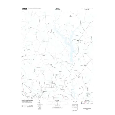
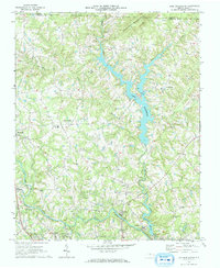 1969 Lake Burlington1972 Print · USGSNorth Carolina’s Piedmont countryside is captured here in the late sixties as new reservoirs began to reshape the rural landscape. Researchers can find traditional settlements like Altamahaw and Union Ridge alongside old landmarks like Stony Creek Ch and Glencoe.2 unique versions available
 - 1970 Map of Gibsonville, 1973 Print
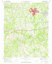 1970 Gibsonville1973 Print · USGSThe Guilford and Alamance county line meets at the height of the Vietnam era, capturing the development of Gibsonville and Elon College. Researchers can trace rural community roots through numerous landmarks like Brick Ch, St Marks Ch, and Whitsett.2 unique versions available
 - 1970 Map of Ossipee, 1973 Print
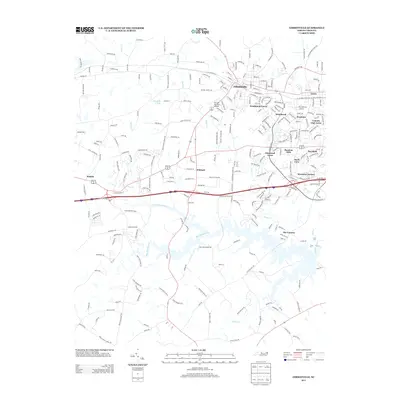
 1970 Ossipee1973 Print · USGSThe borderlands of Alamance and Guilford Counties come into focus in the early 1970s as the Haw River winds past small rural hubs. Researchers can trace local heritage through numerous landmarks like Altamahaw-Ossipee Sch, Apples Chapel Cem, and Friedens Ch.
 - 1980 Map of Burlington, 1983 Print
 1980 Burlington1983 Print · USGSThe Piedmont landscape of the early eighties is captured here in photographic detail, showing the expanding urban centers of Burlington and Graham. Genealogists and local researchers can trace old property lines and residential growth near Bellemont and the banks of the Haw River.
 - 1984 Map of Greensboro
 1984 Greensboro1984 Print · USGSThe North Carolina Piedmont in the mid-eighties shows a region of growing urban centers and vital water resources. Local historians can trace the development of Greensboro, locate the Elon College campus, or explore the grounds of Guilford Courthouse National Military Park.
 - 2010 Map of Ossipee, 2010 Print
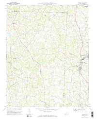
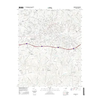
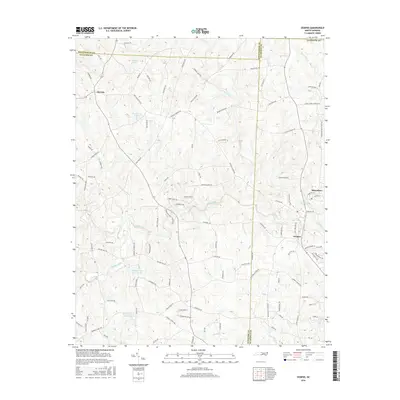
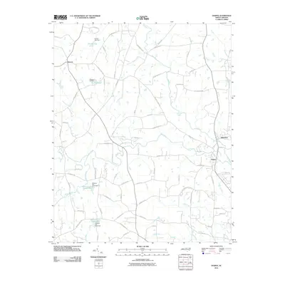 2010 Ossipee2010 Print · USGSCovers Elon, including Gibsonville, Ossipee, and other nearby areas
 - 2010 Map of Lake Burlington, 2010 Print
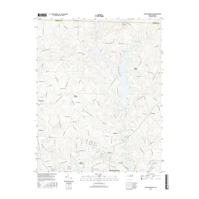
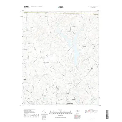
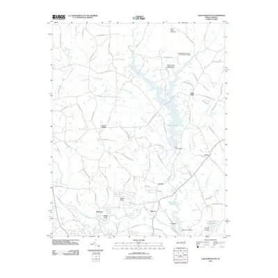 2010 Lake Burlington2010 Print · USGSCovers Elon, including Burlington, Ossipee, and other nearby areas
 - 2010 Map of Gibsonville, 2010 Print
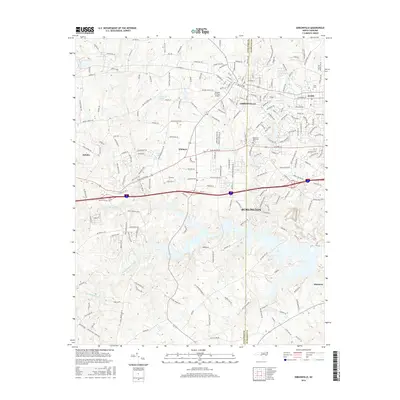
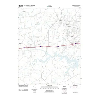 2010 Gibsonville2010 Print · USGSCovers Elon, including Greensboro, Burlington, and other nearby areas
 - 2010 Map of Burlington, 2010 Print
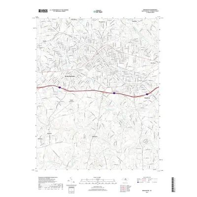
 2010 Burlington2010 Print · USGSCovers Elon, including Burlington, Graham, and other nearby areas
 - 2013 Map of Ossipee, 2013 Print
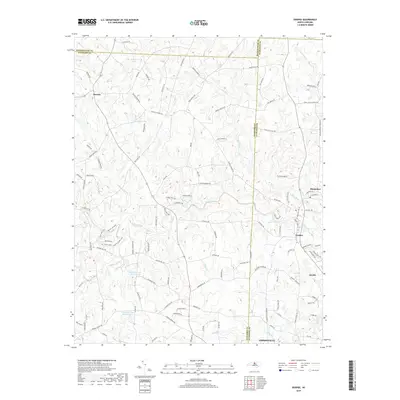
 2013 Ossipee2013 Print · USGSCovers Elon, including Gibsonville, Ossipee, and other nearby areas
 - 2013 Map of Lake Burlington, 2013 Print
 2013 Lake Burlington2013 Print · USGSCovers Elon, including Burlington, Ossipee, and other nearby areas
 - 2013 Map of Gibsonville, 2013 Print
 2013 Gibsonville2013 Print · USGSCovers Elon, including Greensboro, Burlington, and other nearby areas
 - 2013 Map of Burlington, 2013 Print
 2013 Burlington2013 Print · USGSCovers Elon, including Burlington, Graham, and other nearby areas
 - 2016 Map of Burlington, 2016 Print
 2016 Burlington2016 Print · USGSCovers Elon, including Burlington, Graham, and other nearby areas
 - 2016 Map of Lake Burlington, 2016 Print
 2016 Lake Burlington2016 Print · USGSCovers Elon, including Burlington, Ossipee, and other nearby areas
 - 2016 Map of Gibsonville, 2016 Print
 2016 Gibsonville2016 Print · USGSCovers Elon, including Greensboro, Burlington, and other nearby areas
 - 2016 Map of Ossipee, 2016 Print
 2016 Ossipee2016 Print · USGSCovers Elon, including Gibsonville, Ossipee, and other nearby areas
 - 2019 Map of Burlington, 2019 Print
 2019 Burlington2019 Print · USGSCovers Elon, including Burlington, Graham, and other nearby areas
 - 2019 Map of Ossipee, 2019 Print
 2019 Ossipee2019 Print · USGSCovers Elon, including Gibsonville, Ossipee, and other nearby areas
 - 2019 Map of Lake Burlington, 2019 Print
 2019 Lake Burlington2019 Print · USGSCovers Elon, including Burlington, Ossipee, and other nearby areas
Showing maps 1-25 of 30
Top cities near Elon
- Greensboro historical maps
- Burlington historical maps
- Mebane historical maps
- Reidsville historical maps
- Graham historical maps
- Gibsonville historical maps
See more
Top neighborhoods of Elon
Frequently asked questions
- What are the different types of historical maps available for Elon?
- What is the oldest map of Elon?
- Where can I purchase historical maps of Elon for my home or office?
- Where can I download high-res historical maps of Elon?
- Are there historical topographic maps available for Elon?
- Is there historical aerial imagery available for Elon?
- Where are historical maps of Elon sourced from?