Old Maps of Morven, North Carolina for Genealogy
Trace your family roots with 30 historic maps of Morven. These high-res maps reveal old neighborhoods, homesites, landmarks, and streets — helping you uncover where your ancestors lived and how the area evolved over time.
- Explore historic neighborhoods: Identify where your relatives may have lived in the 1800s or 1900s.
- Compare maps over time: Trace the changes in streets, buildings, and landmarks for multi-generational research.
- Perfect for genealogy & ancestry research: Used by family historians and researchers to map out lineage and migration.
These maps are an incredible resource for exploring your personal connection to Morven's past.
Morven, NC maps
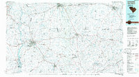
(30)- 1941 Map of Spartanburg
 1941 Spartanburg1941 Print · USGSSouth Carolina’s Piedmont and Sandhills regions are shown here during the mid-century peak of the rail era. Researchers can trace the sprawling Fort Jackson Military Reservation and the industrial growth of hubs like Spartanburg and Rock Hill.
 - 1942 Map of Rockingham, 1944 Print
 1942 Rockingham1944 Print · USGSThe North Carolina and South Carolina borderlands come alive in this wartime survey of the Pee Dee River valley. Researchers can trace historic mill sites like Burnt Factory Pond or locate family landmarks such as Roberdell and Old Sneedsboro.
 - 1953 Map of Florence, 1964 Print
 1953 Florence1964 Print · USGSThe Carolina borderlands in the mid-fifties were a landscape of vast river swamps and rising rail towns. Trace the legacy of the Seaboard Air Line through Florence or explore the wetlands surrounding Lake Waccamaw and the Green Swamp.3 unique versions available
 - 1953 Map of Spartanburg, 1966 Print
 1953 Spartanburg1966 Print · USGSMid-century South Carolina comes into focus through this survey of the Piedmont and the Sand Hills at a time of significant reservoir expansion. Researchers can trace the legacy of industrial transit and resource extraction from the Haile Gold Mine to the rail hubs of the Seaboard Air Line.4 unique versions available
 - 1954 Map of Florence
 1954 Florence1954 Print · USGSThe Carolinas borderlands come alive in the early fifties, showing the vital rail-and-river networks of the coastal plain. Genealogists can trace family footprints across the Green Swamp or through settlements like Red Springs, Chadbourn, and McColl.
 - 1956 Map of Wadesboro, 1957 Print
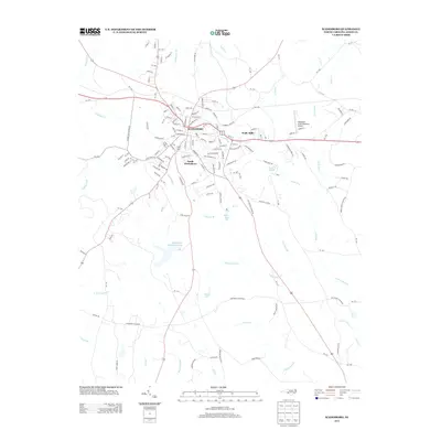
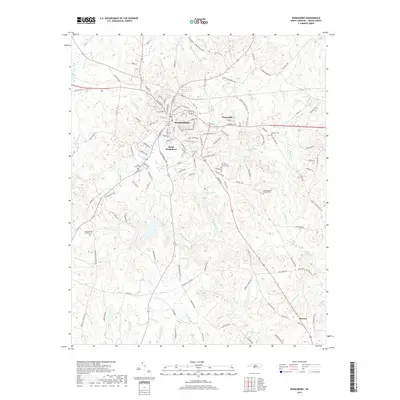
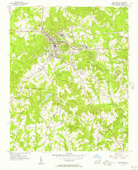 1956 Wadesboro1957 Print · USGSAnson County was a bustling rail hub in the mid-1950s, where three major lines converged at the county seat. Genealogists and local historians can trace the community through landmark churches like Hanna Ch, the Gatewood Sta settlement, and Eastview Cem.3 unique versions available
 - 1960 Map of Spartanburg
 1960 Spartanburg1960 Print · USGSThe South Carolina Piedmont and North Carolina borderlands come alive in this mid-century survey of the region between Spartanburg and Columbia. Researchers can trace the Seaboard Air Line railroad and explore landmarks like Anderson Quarry, Lake Murray, and Mount Croghan.2 unique versions available
 - 1963 Map of Spartanburg
 1963 Spartanburg1963 Print · USGSMid-century South Carolina comes alive in this survey, showing the rail-linked corridor between the Upstate and the Midlands. Genealogists can trace family lands near old hubs like Union and Lancaster, or along the banks of the Broad River and Pee Dee River.
 - 1964 Map of Spartanburg
 1964 Spartanburg1964 Print · USGSMid-century South Carolina comes alive in this survey of the Piedmont and Upcountry, stretching from the Blue Ridge foothills to the Sandhills. Genealogists and historians can trace the rail-and-river economy through Monarch Mills, Glenn Springs, and the Southern Railway corridor.
 - 1971 Map of Morven West, 1973 Print
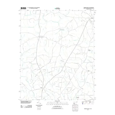
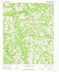 1971 Morven West1973 Print · USGSAnson County, North Carolina and Chesterfield County, South Carolina are mapped here in the early seventies as the rural landscape straddled the state line. Genealogists can trace family roots through local landmarks like Cason Old Field and churches such as Sandy Plains Ch and Pleasant Grove Ch.2 unique versions available
 - 1971 Map of Morven East, 1973 Print
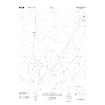
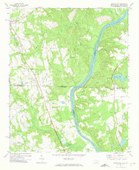 1971 Morven East1973 Print · USGSThe North Carolina and South Carolina borderlands meet along the river in the early 1970s. Genealogists can trace family footprints through rural landmarks like Old Sneedsboro, Galilee Ch, and the mills at Brocks Mill and Everetts Mill.2 unique versions available
 - 1976 Map of Morven East, 1978 Print
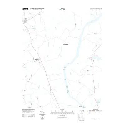
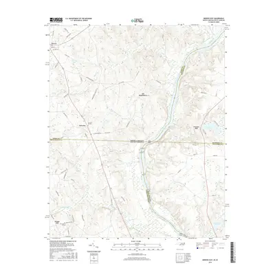
 1976 Morven East1978 Print · USGSAnson County and the borderlands of the Carolinas are captured in the mid-1970s as the Pee Dee River winds through rural farmland. Local historians can trace the footprints of established settlements like Morven and Mc Farlan alongside Everetts Lake.
 - 1983 Map of Laurinburg, 1984 Print
 1983 Laurinburg1984 Print · USGSThe Carolina borderlands come into focus in the early 1980s, showcasing a landscape defined by the Sandhills Game Land and major river systems. Genealogists and rail historians can trace the paths of the Seaboard Coast Line Railroad through Hamlet or locate St Andrews College and Cheraw State Park.2 unique versions available
 - 1986 Map of Lancaster
 1986 Lancaster1986 Print · USGSThe Carolina borderlands are captured in the mid-1980s as a thriving corridor of rail towns and diverse geography. Researchers can trace the region's heritage through landmarks like Forty Acre Rock, the Southern RR line, and rural sites such as Heath Springs Church.2 unique versions available
 - 2002 Map of Wadesboro, 2003 Print
 2002 Wadesboro2003 Print · USGSAnson County at the turn of the millennium shows the enduring rural character of its settlements and the growth of the county seat. Genealogists and local historians can trace the locations of numerous landmarks including East View Cem, Gatewood Sta Ch, and the outlying Wade Mills.
 - 2010 Map of Wadesboro, 2010 Print
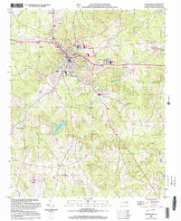
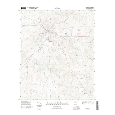
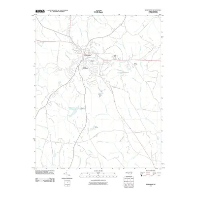 2010 Wadesboro2010 Print · USGSCovers Morven, including Wadesboro, South Wadesboro, and other nearby areas
 - 2011 Map of Morven East, 2011 Print
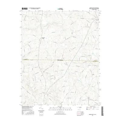
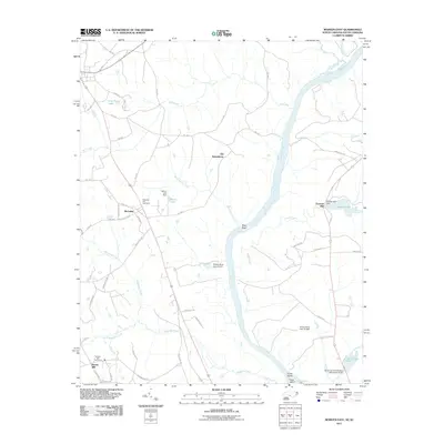 2011 Morven East2011 Print · USGSCovers Morven, including McFarlan, Brocks Mill, and other nearby areas
 - 2011 Map of Morven West, 2011 Print
 2011 Morven West2011 Print · USGSCovers Morven, including Cason Old Field, Chesterfield County, and other nearby areas
 - 2013 Map of Morven West, 2013 Print
 2013 Morven West2013 Print · USGSCovers Morven, including Cason Old Field, Chesterfield County, and other nearby areas
 - 2013 Map of Wadesboro, 2013 Print
 2013 Wadesboro2013 Print · USGSCovers Morven, including Wadesboro, South Wadesboro, and other nearby areas
 - 2013 Map of Morven East, 2013 Print
 2013 Morven East2013 Print · USGSCovers Morven, including McFarlan, Brocks Mill, and other nearby areas
 - 2016 Map of Wadesboro, 2016 Print
 2016 Wadesboro2016 Print · USGSCovers Morven, including Wadesboro, South Wadesboro, and other nearby areas
 - 2016 Map of Morven West, 2016 Print
 2016 Morven West2016 Print · USGSCovers Morven, including Cason Old Field, Chesterfield County, and other nearby areas
 - 2016 Map of Morven East, 2016 Print
 2016 Morven East2016 Print · USGSCovers Morven, including McFarlan, Brocks Mill, and other nearby areas
 - 2019 Map of Wadesboro, 2019 Print
 2019 Wadesboro2019 Print · USGSCovers Morven, including Wadesboro, South Wadesboro, and other nearby areas
Showing maps 1-25 of 30
Top cities near Morven
- Rockingham historical maps
- Wadesboro historical maps
- Cheraw historical maps
- Polkton historical maps
- Cordova historical maps
- Chesterfield historical maps
See more
Frequently asked questions
- What are the different types of historical maps available for Morven?
- What is the oldest map of Morven?
- Where can I purchase historical maps of Morven for my home or office?
- Where can I download high-res historical maps of Morven?
- Are there historical topographic maps available for Morven?
- Is there historical aerial imagery available for Morven?
- Where are historical maps of Morven sourced from?