Old Maps of Old Sneedsboro, North Carolina for Genealogy
Trace your family roots with 11 historic maps of Old Sneedsboro. These high-res maps reveal old neighborhoods, homesites, landmarks, and streets — helping you uncover where your ancestors lived and how the area evolved over time.
- Explore historic neighborhoods: Identify where your relatives may have lived in the 1800s or 1900s.
- Compare maps over time: Trace the changes in streets, buildings, and landmarks for multi-generational research.
- Perfect for genealogy & ancestry research: Used by family historians and researchers to map out lineage and migration.
These maps are an incredible resource for exploring your personal connection to Old Sneedsboro's past.
Old Sneedsboro, NC maps
(11)- 1942 Map of Rockingham, 1944 Print
 1942 Rockingham1944 Print · USGSThe North Carolina and South Carolina borderlands come alive in this wartime survey of the Pee Dee River valley. Researchers can trace historic mill sites like Burnt Factory Pond or locate family landmarks such as Roberdell and Old Sneedsboro.
 - 1953 Map of Florence, 1964 Print
 1953 Florence1964 Print · USGSThe Carolina borderlands in the mid-fifties were a landscape of vast river swamps and rising rail towns. Trace the legacy of the Seaboard Air Line through Florence or explore the wetlands surrounding Lake Waccamaw and the Green Swamp.3 unique versions available
 - 1954 Map of Florence
 1954 Florence1954 Print · USGSThe Carolinas borderlands come alive in the early fifties, showing the vital rail-and-river networks of the coastal plain. Genealogists can trace family footprints across the Green Swamp or through settlements like Red Springs, Chadbourn, and McColl.
 - 1971 Map of Morven East, 1973 Print
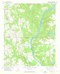 1971 Morven East1973 Print · USGSThe North Carolina and South Carolina borderlands meet along the river in the early 1970s. Genealogists can trace family footprints through rural landmarks like Old Sneedsboro, Galilee Ch, and the mills at Brocks Mill and Everetts Mill.2 unique versions available
 - 1976 Map of Morven East, 1978 Print
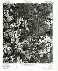 1976 Morven East1978 Print · USGSAnson County and the borderlands of the Carolinas are captured in the mid-1970s as the Pee Dee River winds through rural farmland. Local historians can trace the footprints of established settlements like Morven and Mc Farlan alongside Everetts Lake.
 - 1983 Map of Laurinburg, 1984 Print
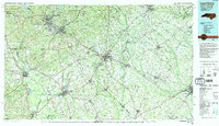 1983 Laurinburg1984 Print · USGSThe Carolina borderlands come into focus in the early 1980s, showcasing a landscape defined by the Sandhills Game Land and major river systems. Genealogists and rail historians can trace the paths of the Seaboard Coast Line Railroad through Hamlet or locate St Andrews College and Cheraw State Park.2 unique versions available
 - 2011 Map of Morven East, 2011 Print
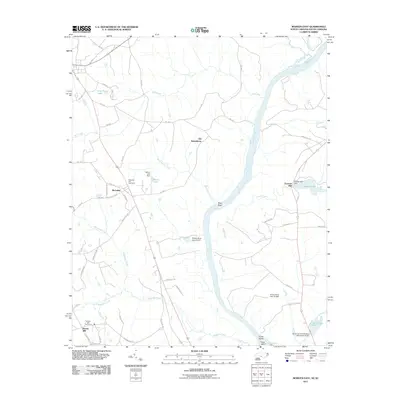 2011 Morven East2011 Print · USGSThe Pee Dee River corridor along the North and South Carolina border comes into focus in this recent survey. Local historians can trace the foundations of the regional economy through sites like Everetts Mill, Brocks Mill, and the historic area of Old Sneedsboro.
 - 2013 Map of Morven East, 2013 Print
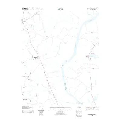 2013 Morven East2013 Print · USGSThe Pee Dee River corridor near the North and South Carolina border is documented here in the early twenty-first century. Genealogists can trace family footprints near Old Sneedsboro, Everetts Mill, and the small-town streets of McFarlan.
 - 2016 Map of Morven East, 2016 Print
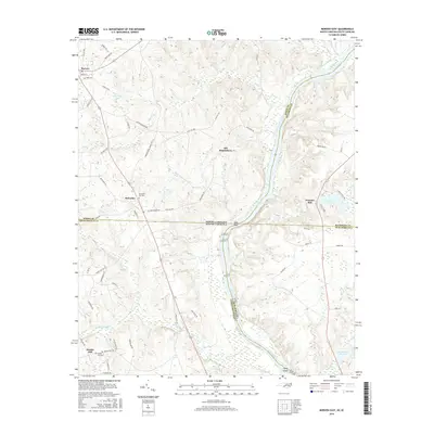 2016 Morven East2016 Print · USGSThe borderlands of North and South Carolina are captured here in the mid-2010s, centered on the winding Pee Dee River. Researchers can trace old settlement patterns at Old Sneedsboro or locate family sites at Pleasant Hill Cem and Brocks Mill.
 - 2019 Map of Morven East, 2019 Print
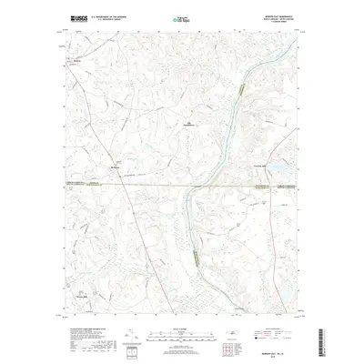 2019 Morven East2019 Print · USGSThe borderlands of North Carolina and South Carolina are captured here along the banks of the Pee Dee River. Local historians can trace the foundations of old settlements like Old Sneedsboro and explore family history through sites like Brocks Mill and Pleasant Hill Cem.
 - 2022 Map of Morven East, 2022 Print
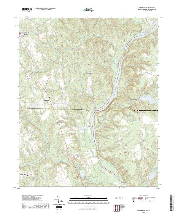 2022 Morven East2022 Print · USGSThe North and South Carolina borderlands come alive in this survey of the Pee Dee River corridor. Researchers can trace the heritage of old river settlements like Old Sneedsboro and find family-named landmarks such as Brocks Mill and Mount Zion Methodist Church Cem.
End of results
Showing maps 1-11 of 11
Top cities near Old Sneedsboro
- Bennettsville historical maps
- Rockingham historical maps
- Hamlet historical maps
- Wadesboro historical maps
- Cheraw historical maps
- East Rockingham historical maps
See more
Frequently asked questions
- What are the different types of historical maps available for Old Sneedsboro?
- What is the oldest map of Old Sneedsboro?
- Where can I purchase historical maps of Old Sneedsboro for my home or office?
- Where can I download high-res historical maps of Old Sneedsboro?
- Are there historical topographic maps available for Old Sneedsboro?
- Is there historical aerial imagery available for Old Sneedsboro?
- Where are historical maps of Old Sneedsboro sourced from?