2000s (21st Century) Maps of Polkton, North Carolina
Explore 11 historic maps of Polkton from the 2000s (21st Century). These maps offer a rare glimpse into what life looked like during the 2000s — showing old roads, neighborhoods, homes, and landmarks that have changed or disappeared over time.
Whether you're researching your family's past, planning a metal detecting trip, or studying how Polkton's landscape evolved across the 2000s, these high-resolution maps are a powerful tool for exploring the history of this region.
- Focus on a specific era: All maps on this page are from the 2000s, giving you a focused view of this time period.
- See what’s changed: Compare century-old streets, trails, and buildings to today's modern landscape using overlays and satellite layers.
- Research with precision: Use these maps for genealogy, historical research, land use analysis, or educational projects.
- View, download, or print: Maps are fully viewable online in high resolution, and can be downloaded or printed for your own records.
Start exploring Polkton's history through authentic maps from the 2000s. This is your window into the past.
Polkton, NC maps
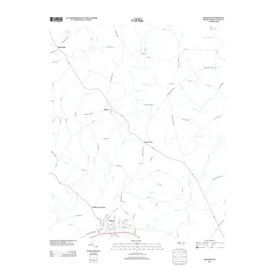
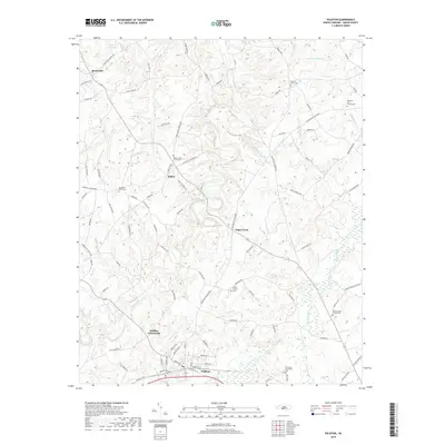
(11)- 2002 Map of Russellville, 2003 Print
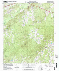 2002 Russellville2003 Print · USGSAnson County at the turn of the millennium retains its deep-rooted rural character, defined by creek-side settlements and country churches. Genealogists and historians can locate Polkton, the State Prison Camp, and several landmarks like Unity Chapel and Poplar Hill Ch.
 - 2010 Map of Polkton, 2010 Print
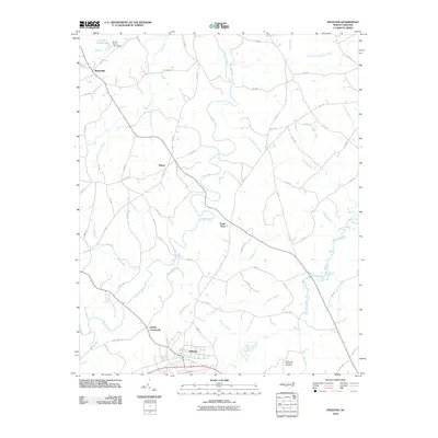 2010 Polkton2010 Print · USGSCovers Polkton, including Griffins Crossroads, Sugar Town, and other nearby areas
 - 2010 Map of Russellville, 2010 Print
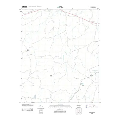 2010 Russellville2010 Print · USGSCovers Polkton, including Wadesboro, Travis, and other nearby areas
 - 2013 Map of Russellville, 2013 Print
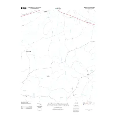 2013 Russellville2013 Print · USGSCovers Polkton, including Wadesboro, Travis, and other nearby areas
 - 2013 Map of Polkton, 2013 Print
 2013 Polkton2013 Print · USGSCovers Polkton, including Griffins Crossroads, Sugar Town, and other nearby areas
 - 2016 Map of Russellville, 2016 Print
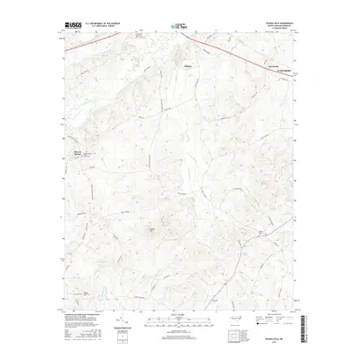 2016 Russellville2016 Print · USGSCovers Polkton, including Wadesboro, Travis, and other nearby areas
 - 2016 Map of Polkton, 2016 Print
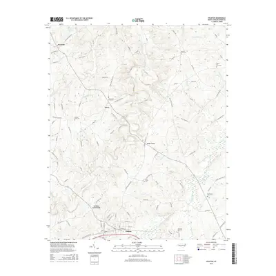 2016 Polkton2016 Print · USGSCovers Polkton, including Griffins Crossroads, Sugar Town, and other nearby areas
 - 2019 Map of Russellville, 2019 Print
 2019 Russellville2019 Print · USGSCovers Polkton, including Wadesboro, Travis, and other nearby areas
 - 2019 Map of Polkton, 2019 Print
 2019 Polkton2019 Print · USGSCovers Polkton, including Griffins Crossroads, Sugar Town, and other nearby areas
 - 2022 Map of Polkton, 2022 Print
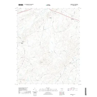
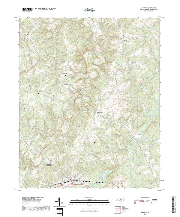 2022 Polkton2022 Print · USGSAnson County's rural landscape is documented here in the contemporary era, centered on the community of Polkton. Researchers can trace generational history through numerous sites like Red Hill Church Cem, Sugar Town, and the Richmond - Sturdivant Cem.
 - 2022 Map of Russellville, 2022 Print
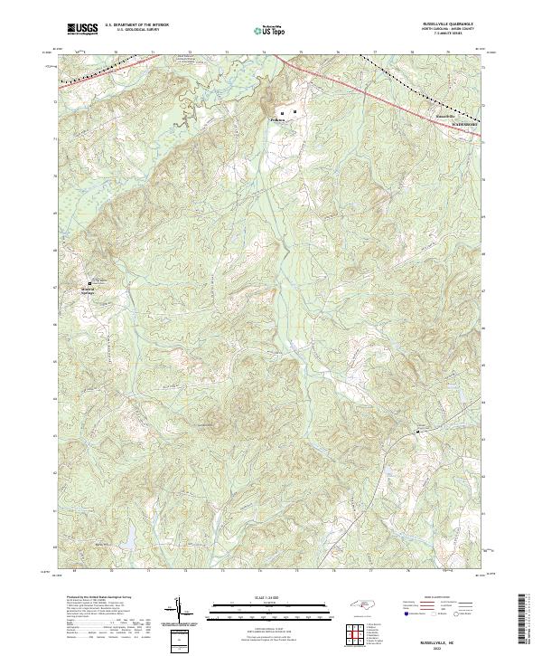 2022 Russellville2022 Print · USGSAnson County in the early twenty-first century reveals a landscape of rural communities and evolving education centers near Polkton. Genealogists and historians can locate family landmarks like Mineral Springs Baptist Church-Cem and the high ground of Gordon Mtn.
End of results
Showing maps 1-11 of 11
Top cities near Polkton
- Wadesboro historical maps
- Wingate historical maps
- Marshville historical maps
- Pageland historical maps
- Norwood historical maps
- Stanfield historical maps
See more
Frequently asked questions
- What are the different types of historical maps available for Polkton?
- What is the oldest map of Polkton?
- Where can I purchase historical maps of Polkton for my home or office?
- Where can I download high-res historical maps of Polkton?
- Are there historical topographic maps available for Polkton?
- Is there historical aerial imagery available for Polkton?
- Where are historical maps of Polkton sourced from?