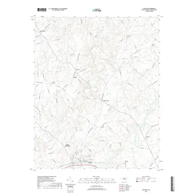
2019 Map of Polkton
USGS Topo · Published 2019About this map
Polkton serves as the primary hub of activity in this central Anson County landscape, situated along the southern edge of the survey. The town's grid is flanked by family and community landmarks, including the Williams Cem and Richmond-Sturdivant Cem. To the north, the terrain is defined by a network of drainage basins including Lanes Creek and Brown Creek, which shape the rural character of smaller settlements like Sugar Town and Griffins Crossroads.
Find a feature on this map
105 named features on this map. Tap any name to fly to it.
Don’t see what you’re looking for? This feature index may not catch every label — zoom into the map to look around manually.
Map Details
Editions of this 2019 Polkton Map
This is the sole edition of this map. No revisions or reprints were ever made.
Other maps of this area

1941 · Spartanburg
USGS Topo · 1:250,000

1953 · Spartanburg
USGS Topo · 1:250,000

1953 · Charlotte
USGS Topo · 1:250,000

1954 · Charlotte
USGS Topo · 1:250,000

1956 · Ansonville
USGS Topo · 1:24,000

1956 · Mount Gilead West
USGS Topo · 1:24,000

1956 · Wadesboro
USGS Topo · 1:24,000

1960 · Charlotte
USGS Topo · 1:250,000

1960 · Spartanburg
USGS Topo · 1:250,000

1962 · Charlotte
USGS Topo · 1:250,000