
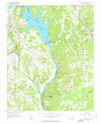
1956 Map of Mount Gilead West
USGS Topo · Published 1957About this map
The Lake Pee Dee Tillery River dominates this landscape, serving as a hydraulic divide between Stanly and Montgomery counties. In this mid-1950s survey, the shoreline is punctuated by Norwood Beach and the heavy infrastructure of the Hydroelectric Plant and Norwood Dam near Hydro. These engineering works transformed the character of the river valley, though the surrounding countryside remains deeply rooted in rural community life. A high concentration of churches, including Thomasville Ch, Shankel Grove Ch, and Waits Chapel, suggests a long-established network of family settlements and parishes. Transport is anchored by the Norfolk Southern and Winston-Salem Southbound railroads, which facilitated movement across the complex river geography of the Rocky River and Pee Dee River basins.
Find a feature on this map
55 named features on this map. Tap any name to fly to it.
Don’t see what you’re looking for? This feature index may not catch every label — zoom into the map to look around manually.
Map Details
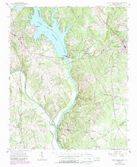
Editions of this 1956 Mount Gilead West Map
3 editions found
Other maps of this area

1942 · Troy
USGS Topo · 1:125,000

1953 · Raleigh
USGS Topo · 1:250,000

1953 · Charlotte
USGS Topo · 1:250,000

1954 · Charlotte
USGS Topo · 1:250,000

1954 · Raleigh
USGS Topo · 1:250,000

1956 · Mangum
USGS Topo · 1:24,000

1956 · Mount Gilead East
USGS Topo · 1:24,000

1956 · Ansonville
USGS Topo · 1:24,000

1957 · Albemarle
USGS Topo · 1:62,500

1957 · Troy
USGS Topo · 1:62,500