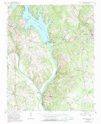
1956 Map of Mount Gilead West
USGS Topo · Published 1987About this map
The Lake Pee Dee Tillery River corridor serves as a central geographic and economic anchor where the borders of Stanly, Montgomery, Anson, and Richmond counties converge. This mid-century landscape reflects the industrial integration of water power and rail transit, dominated by the Norwood Dam and its associated Hydroelectric Plant. The engineering of the river valley is complemented by the Winston-Salem Southbound and Southern railroads, which facilitated movement between the growing towns of Norwood and Mount Gilead.
Find a feature on this map
52 named features on this map. Tap any name to fly to it.
Don’t see what you’re looking for? This feature index may not catch every label — zoom into the map to look around manually.
Map Details
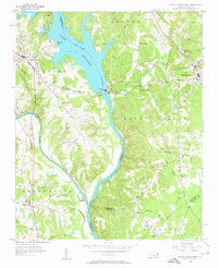
Editions of this 1956 Mount Gilead West Map
3 editions found
Other maps of this area

1942 · Troy
USGS Topo · 1:125,000

1953 · Raleigh
USGS Topo · 1:250,000

1953 · Charlotte
USGS Topo · 1:250,000

1954 · Charlotte
USGS Topo · 1:250,000

1954 · Raleigh
USGS Topo · 1:250,000

1956 · Mangum
USGS Topo · 1:24,000

1956 · Mount Gilead East
USGS Topo · 1:24,000

1956 · Ansonville
USGS Topo · 1:24,000

1956 · Mount Gilead West
USGS Topo · 1:24,000

1957 · Albemarle
USGS Topo · 1:62,500