
1956 Map of Wadesboro
USGS Topo · Published 1957About this map
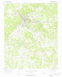
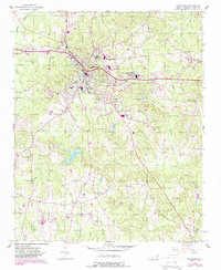
The town of Wadesboro serves as a significant rail junction in the mid-1950s, where the Seaboard Air Line, Winston-Salem Southbound, and Atlantic Coast Line railroads converge. This industrial and transportation activity is centered around the municipal core and the nearby Wade Mills development. To the south and east, the landscape transitions into a network of rural communities defined by family-named landmarks and local institutions, such as Hanna Ch, Flat Rock Ch, and Mt Beulah Ch. The presence of the County Home and the Armory near the Twin Valley Country Club indicates the civic and social structure of the county seat during this era. Water resources like City Pond and Lake Maree are scattered among the ridges, while the Drive-in Theater reflects the mid-century suburban culture emerging along the primary road corridors.
Find a feature on this map
52 named features on this map. Tap any name to fly to it.
Don’t see what you’re looking for? This feature index may not catch every label — zoom into the map to look around manually.
Map Details
Editions of this 1956 Wadesboro Map
3 editions found
Other maps of this area

1941 · Spartanburg
USGS Topo · 1:250,000

1942 · Troy
USGS Topo · 1:125,000

1942 · Rockingham
USGS Topo · 1:125,000

1953 · Florence
USGS Topo · 1:250,000

1953 · Raleigh
USGS Topo · 1:250,000

1953 · Spartanburg
USGS Topo · 1:250,000

1953 · Charlotte
USGS Topo · 1:250,000

1954 · Charlotte
USGS Topo · 1:250,000

1954 · Florence
USGS Topo · 1:250,000

1954 · Raleigh
USGS Topo · 1:250,000