2000s (21st Century) Maps of Yates, North Carolina
Explore 6 historic maps of Yates from the 2000s (21st Century). These maps offer a rare glimpse into what life looked like during the 2000s — showing old roads, neighborhoods, homes, and landmarks that have changed or disappeared over time.
Whether you're researching your family's past, planning a metal detecting trip, or studying how Yates's landscape evolved across the 2000s, these high-resolution maps are a powerful tool for exploring the history of this region.
- Focus on a specific era: All maps on this page are from the 2000s, giving you a focused view of this time period.
- See what’s changed: Compare century-old streets, trails, and buildings to today's modern landscape using overlays and satellite layers.
- Research with precision: Use these maps for genealogy, historical research, land use analysis, or educational projects.
- View, download, or print: Maps are fully viewable online in high resolution, and can be downloaded or printed for your own records.
Start exploring Yates's history through authentic maps from the 2000s. This is your window into the past.
Yates, NC maps
(6)- 2000 Map of Glendale Springs, 2001 Print
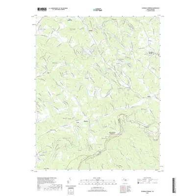
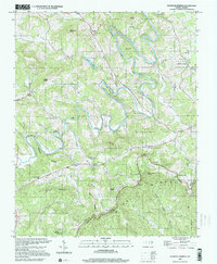 2000 Glendale Springs2001 Print · USGSAshe County high-country life is captured here at the turn of the millennium, showing a landscape defined by the South Fork New River and the high Blue Ridge crest. Genealogists and local historians can trace family roots through numerous mountain sanctuaries like Bethel Ch, Riverview Ch, and Old Field Ch.
 - 2010 Map of Glendale Springs, 2010 Print
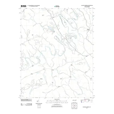 2010 Glendale Springs2010 Print · USGSCovers Yates, including West Jefferson, Idlewild, and other nearby areas
 - 2013 Map of Glendale Springs, 2013 Print
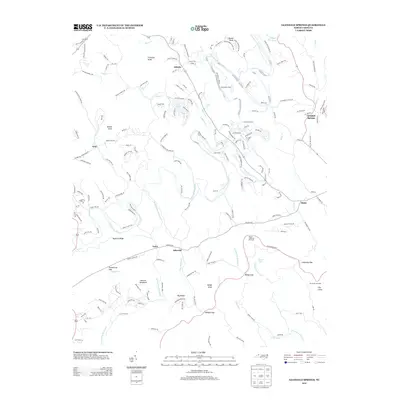 2013 Glendale Springs2013 Print · USGSCovers Yates, including West Jefferson, Idlewild, and other nearby areas
 - 2016 Map of Glendale Springs, 2016 Print
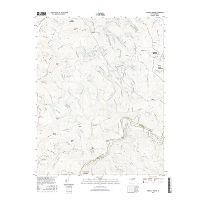 2016 Glendale Springs2016 Print · USGSCovers Yates, including West Jefferson, Idlewild, and other nearby areas
 - 2019 Map of Glendale Springs, 2019 Print
 2019 Glendale Springs2019 Print · USGSCovers Yates, including West Jefferson, Idlewild, and other nearby areas
 - 2022 Map of Glendale Springs, 2022 Print
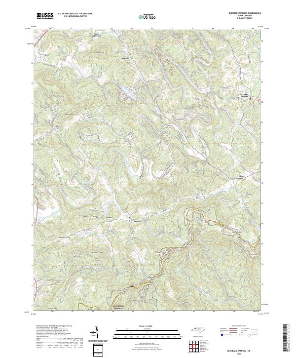 2022 Glendale Springs2022 Print · USGSIn the high country of Ashe County, this survey documents the mountain settlements and natural corridors of the early twenty-first century. Researchers can trace the path of the Blue Ridge Parkway through Benge Gap or locate communities like Idlewild and Glendale Springs.
End of results
Showing maps 1-6 of 6
Top cities near Yates
- Boone historical maps
- Wilkesboro historical maps
- Jefferson historical maps
- Blowing Rock historical maps
- West Jefferson historical maps
- Lansing historical maps
Frequently asked questions
- What are the different types of historical maps available for Yates?
- What is the oldest map of Yates?
- Where can I purchase historical maps of Yates for my home or office?
- Where can I download high-res historical maps of Yates?
- Are there historical topographic maps available for Yates?
- Is there historical aerial imagery available for Yates?
- Where are historical maps of Yates sourced from?