Old Maps of Belhaven, North Carolina for Academic Research
Study the evolution of Belhaven with 18 high-resolution historic maps. Whether you're teaching, researching, or modeling changes in land use, these maps provide essential visual documentation of urban, environmental, and geographic change.
- Analyze long-term change: Track patterns in development, transportation, and natural features.
- Ideal for environmental or urban studies: Support academic projects with primary historical map data.
- Use in the classroom or lab: Educators and researchers rely on these maps to bring historical context to life.
These maps are a powerful tool for teaching, research, and visualizing how Belhaven has changed over the decades.
Belhaven, NC maps
(18)- 1914 Map of Belhaven
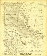 1914 Belhaven1914 Print · USGSIn the decade before the Great War, the North Carolina coast was a landscape of timber trams and swamp landings. Researchers can trace the John L. Roper Lumber Co. Tram and locate family landmarks like Morrisons Store and Lower Pungo School.
 - 1916 Map of Belhaven
 1916 Belhaven1916 Print · USGSCoastal Beaufort County comes to life in the years before World War I, when the Pungo River landings were essential hubs. Genealogists can trace family roots through rural schools like Haslin School and rail stops like Bishops Cross or Pungo P.O.3 unique versions available
 - 1943 Map of Plymouth
 1943 Plymouth1943 Print · USGSThe coastal plains and swamps of eastern North Carolina are captured here during the wartime era, showing a landscape defined by river navigation and drainage canals. Genealogists can trace family roots through rural landmarks like Ellis Store, St Lukes Ch, and small rail stops such as Acre Sta.
 - 1951 Map of Belhaven, 1953 Print
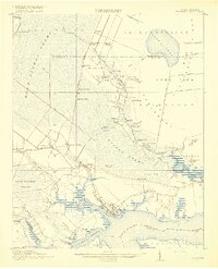
 1951 Belhaven1953 Print · USGSThe coastal port of Belhaven and the surrounding marshes are shown in detail during the early fifties. Genealogists and historians can trace old family sites at Hoophole Landing, Haslin Corner, and Leechville, or follow the Norfolk Southern rail line to the water's edge.4 unique versions available
 - 1951 Map of Pantego, 1953 Print
 1951 Pantego1953 Print · USGSThe coastal lowlands of Beaufort County come to life in the early fifties, showing a landscape shaped by rail, river, and reclaimed swamp. Genealogists can trace family roots through landmarks like Oddfellows Cem, Broad Creek Ch, and the small settlement of Yeatesville.2 unique versions available
 - 1953 Map of Rocky Mount, 1964 Print
 1953 Rocky Mount1964 Print · USGSEastern North Carolina in the mid-fifties is defined by its deep river basins and the vast wetlands of the Tidewater. Genealogists can trace family roots through hubs like Kinston and New Bern or explore the wilderness of Pettigrew State Park and Lake Mattamuskeet.4 unique versions available
 - 1954 Map of Rocky Mount
 1954 Rocky Mount1954 Print · USGSEastern North Carolina is mapped in the mid-fifties, showing a landscape of sounds, swamps, and steam-era rail lines. Genealogists can trace the rural road networks and rail spurs connecting towns like Tarboro, Greenville, and the remote Columbia.
 - 1985 Map of Plymouth
 1985 Plymouth1985 Print · USGSThe coastal plains of Washington and Beaufort counties come into focus in the mid-eighties as a region defined by large-scale conservation and water-bound trade. Researchers can trace the layout of small farming towns like Pantego and Creswell alongside the vast waters of Phelps Lake and Lake Mattamuskeet.2 unique versions available
 - 2010 Map of Belhaven, 2010 Print
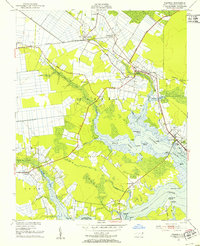
 2010 Belhaven2010 Print · USGSCovers Belhaven, including Haslin Corner, Piney Grove Landing, and other nearby areas
 - 2010 Map of Pantego, 2010 Print
 2010 Pantego2010 Print · USGSCovers Belhaven, including Pantego, Swindell, and other nearby areas
 - 2013 Map of Pantego, 2013 Print
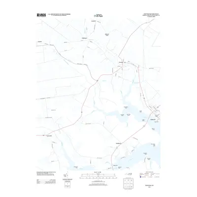 2013 Pantego2013 Print · USGSCovers Belhaven, including Pantego, Swindell, and other nearby areas
 - 2013 Map of Belhaven, 2013 Print
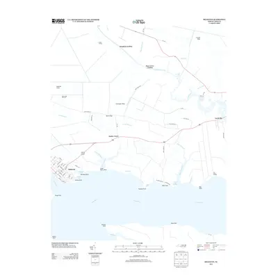 2013 Belhaven2013 Print · USGSCovers Belhaven, including Haslin Corner, Piney Grove Landing, and other nearby areas
 - 2016 Map of Belhaven, 2016 Print
 2016 Belhaven2016 Print · USGSCovers Belhaven, including Haslin Corner, Piney Grove Landing, and other nearby areas
 - 2016 Map of Pantego, 2016 Print
 2016 Pantego2016 Print · USGSCovers Belhaven, including Pantego, Swindell, and other nearby areas
 - 2019 Map of Belhaven, 2019 Print
 2019 Belhaven2019 Print · USGSCovers Belhaven, including Haslin Corner, Piney Grove Landing, and other nearby areas
 - 2019 Map of Pantego, 2019 Print
 2019 Pantego2019 Print · USGSCovers Belhaven, including Pantego, Swindell, and other nearby areas
 - 2022 Map of Belhaven, 2022 Print
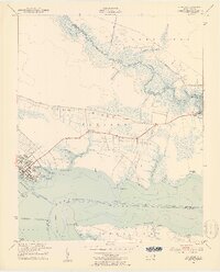
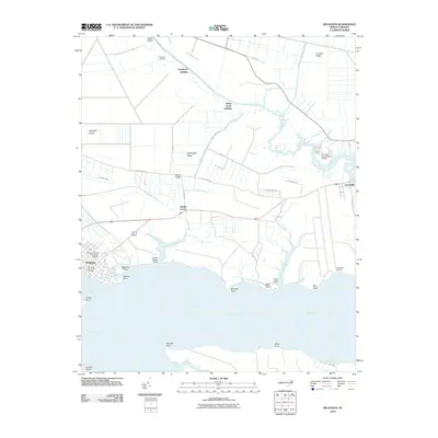
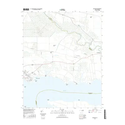
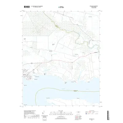
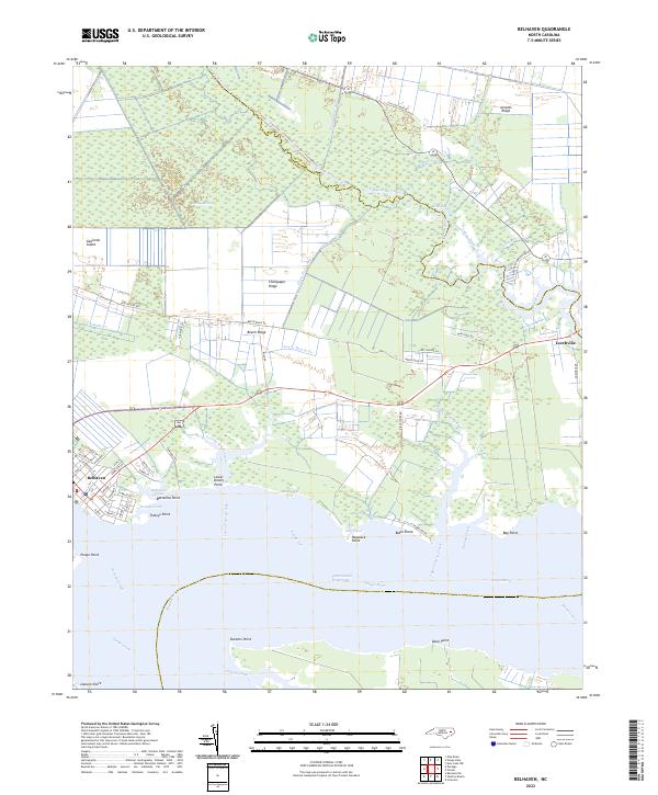 2022 Belhaven2022 Print · USGSBelhaven and the surrounding lowlands of Beaufort and Hyde counties are shown here in the early twenty-first century as a landscape shaped by water. Researchers can trace the layout of waterfront streets in Belhaven or locate family landmarks near Leechville, Beech Ridge, and Bible Shore.
 - 2022 Map of Pantego, 2022 Print
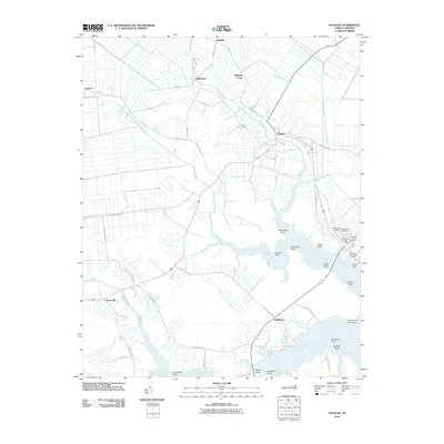
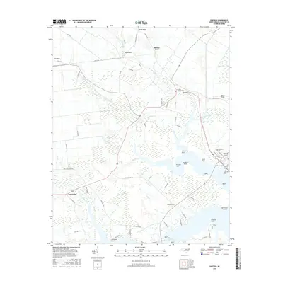
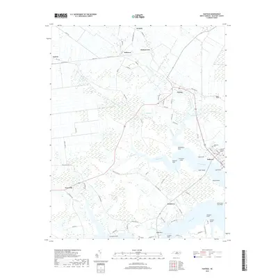
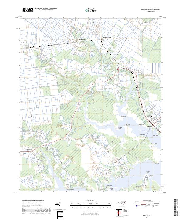 2022 Pantego2022 Print · USGSThe wetlands and waterfronts of Beaufort County appear here in the early twenty-first century, showing the established communities of Belhaven and Pantego. Researchers can trace old family points like Stotesberry Point and rural hubs such as Yeatesville or the Odd Fellows Cem.
End of results
Showing maps 1-18 of 18
Top cities near Belhaven
Frequently asked questions
- What are the different types of historical maps available for Belhaven?
- What is the oldest map of Belhaven?
- Where can I purchase historical maps of Belhaven for my home or office?
- Where can I download high-res historical maps of Belhaven?
- Are there historical topographic maps available for Belhaven?
- Is there historical aerial imagery available for Belhaven?
- Where are historical maps of Belhaven sourced from?