2000s (21st Century) Maps of Belhaven, North Carolina
Explore 10 historic maps of Belhaven from the 2000s (21st Century). These maps offer a rare glimpse into what life looked like during the 2000s — showing old roads, neighborhoods, homes, and landmarks that have changed or disappeared over time.
Whether you're researching your family's past, planning a metal detecting trip, or studying how Belhaven's landscape evolved across the 2000s, these high-resolution maps are a powerful tool for exploring the history of this region.
- Focus on a specific era: All maps on this page are from the 2000s, giving you a focused view of this time period.
- See what’s changed: Compare century-old streets, trails, and buildings to today's modern landscape using overlays and satellite layers.
- Research with precision: Use these maps for genealogy, historical research, land use analysis, or educational projects.
- View, download, or print: Maps are fully viewable online in high resolution, and can be downloaded or printed for your own records.
Start exploring Belhaven's history through authentic maps from the 2000s. This is your window into the past.
Belhaven, NC maps
(10)- 2010 Map of Belhaven, 2010 Print
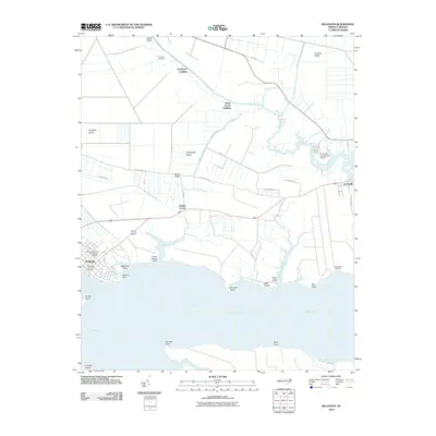 2010 Belhaven2010 Print · USGSCovers Belhaven, including Haslin Corner, Piney Grove Landing, and other nearby areas
 - 2010 Map of Pantego, 2010 Print
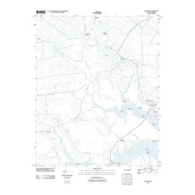 2010 Pantego2010 Print · USGSCovers Belhaven, including Pantego, Swindell, and other nearby areas
 - 2013 Map of Pantego, 2013 Print
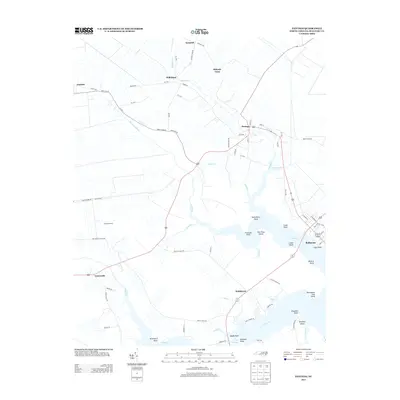 2013 Pantego2013 Print · USGSCovers Belhaven, including Pantego, Swindell, and other nearby areas
 - 2013 Map of Belhaven, 2013 Print
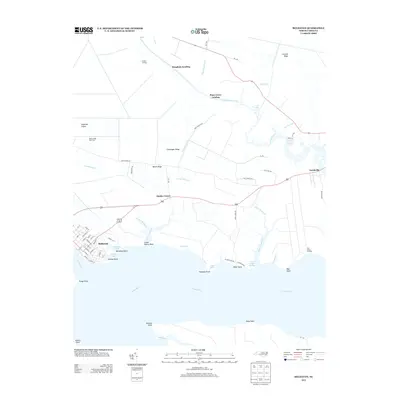 2013 Belhaven2013 Print · USGSCovers Belhaven, including Haslin Corner, Piney Grove Landing, and other nearby areas
 - 2016 Map of Belhaven, 2016 Print
 2016 Belhaven2016 Print · USGSCovers Belhaven, including Haslin Corner, Piney Grove Landing, and other nearby areas
 - 2016 Map of Pantego, 2016 Print
 2016 Pantego2016 Print · USGSCovers Belhaven, including Pantego, Swindell, and other nearby areas
 - 2019 Map of Belhaven, 2019 Print
 2019 Belhaven2019 Print · USGSCovers Belhaven, including Haslin Corner, Piney Grove Landing, and other nearby areas
 - 2019 Map of Pantego, 2019 Print
 2019 Pantego2019 Print · USGSCovers Belhaven, including Pantego, Swindell, and other nearby areas
 - 2022 Map of Belhaven, 2022 Print
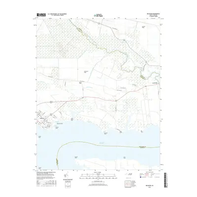
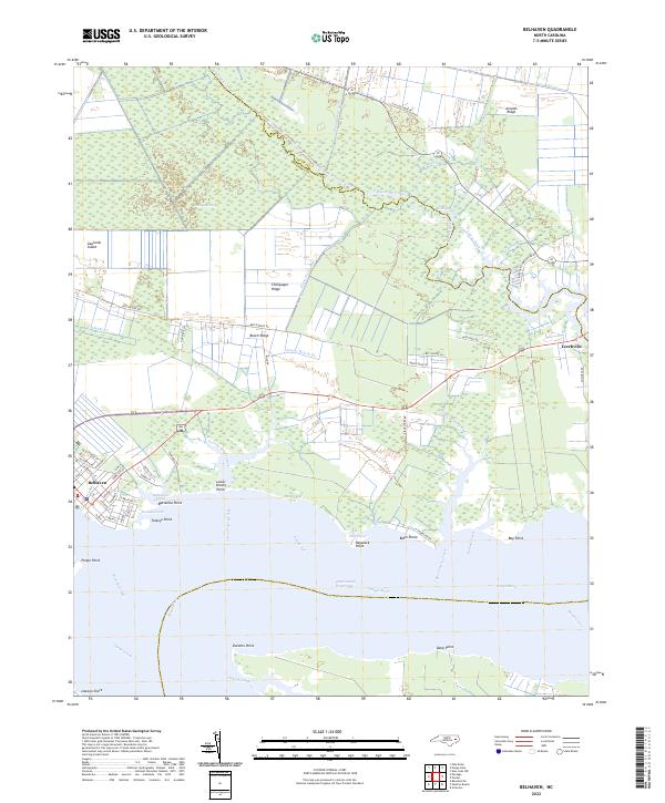 2022 Belhaven2022 Print · USGSBelhaven and the surrounding lowlands of Beaufort and Hyde counties are shown here in the early twenty-first century as a landscape shaped by water. Researchers can trace the layout of waterfront streets in Belhaven or locate family landmarks near Leechville, Beech Ridge, and Bible Shore.
 - 2022 Map of Pantego, 2022 Print
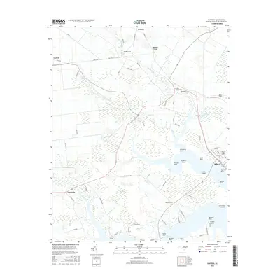
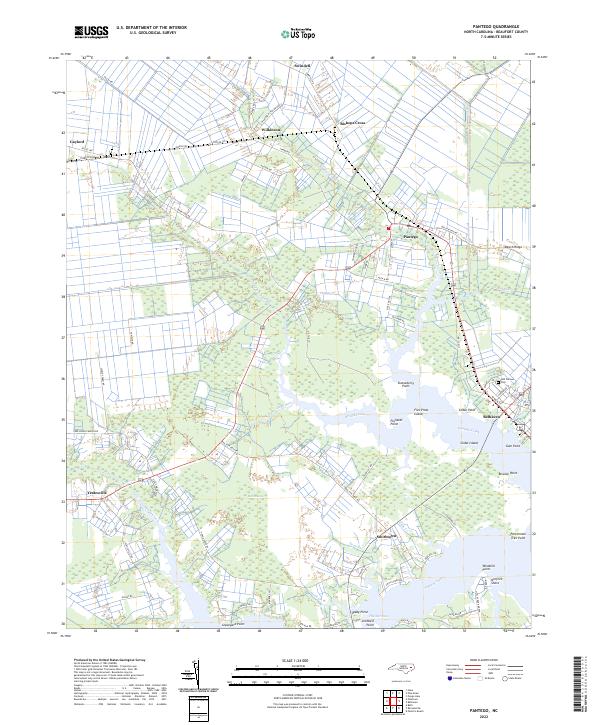 2022 Pantego2022 Print · USGSThe wetlands and waterfronts of Beaufort County appear here in the early twenty-first century, showing the established communities of Belhaven and Pantego. Researchers can trace old family points like Stotesberry Point and rural hubs such as Yeatesville or the Odd Fellows Cem.
End of results
Showing maps 1-10 of 10
Top cities near Belhaven
Frequently asked questions
- What are the different types of historical maps available for Belhaven?
- What is the oldest map of Belhaven?
- Where can I purchase historical maps of Belhaven for my home or office?
- Where can I download high-res historical maps of Belhaven?
- Are there historical topographic maps available for Belhaven?
- Is there historical aerial imagery available for Belhaven?
- Where are historical maps of Belhaven sourced from?