Old Maps of Haslin Corner, North Carolina for Hiking & Exploration
Hike through history with 12 historic maps of Haslin Corner. Explore old trails, ghost towns, and forgotten backroads — perfect for outdoor adventurers and local explorers.
- Rediscover forgotten places: Map out old mining camps, roads, and footpaths that no longer exist on modern maps.
- Layer with modern tools: Combine with LiDAR or satellite views to plan hikes through historical terrain.
- Made for exploration: Popular among hikers, overlanders, and local history lovers.
Use these maps to find adventure and explore the hidden past of Haslin Corner.
Haslin Corner, NC maps
(12)- 1914 Map of Belhaven
 1914 Belhaven1914 Print · USGSIn the decade before the Great War, the North Carolina coast was a landscape of timber trams and swamp landings. Researchers can trace the John L. Roper Lumber Co. Tram and locate family landmarks like Morrisons Store and Lower Pungo School.
 - 1916 Map of Belhaven
 1916 Belhaven1916 Print · USGSCoastal Beaufort County comes to life in the years before World War I, when the Pungo River landings were essential hubs. Genealogists can trace family roots through rural schools like Haslin School and rail stops like Bishops Cross or Pungo P.O.3 unique versions available
 - 1943 Map of Plymouth
 1943 Plymouth1943 Print · USGSThe coastal plains and swamps of eastern North Carolina are captured here during the wartime era, showing a landscape defined by river navigation and drainage canals. Genealogists can trace family roots through rural landmarks like Ellis Store, St Lukes Ch, and small rail stops such as Acre Sta.
 - 1951 Map of Belhaven, 1953 Print
 1951 Belhaven1953 Print · USGSThe coastal port of Belhaven and the surrounding marshes are shown in detail during the early fifties. Genealogists and historians can trace old family sites at Hoophole Landing, Haslin Corner, and Leechville, or follow the Norfolk Southern rail line to the water's edge.4 unique versions available
 - 1953 Map of Rocky Mount, 1964 Print
 1953 Rocky Mount1964 Print · USGSEastern North Carolina in the mid-fifties is defined by its deep river basins and the vast wetlands of the Tidewater. Genealogists can trace family roots through hubs like Kinston and New Bern or explore the wilderness of Pettigrew State Park and Lake Mattamuskeet.4 unique versions available
 - 1954 Map of Rocky Mount
 1954 Rocky Mount1954 Print · USGSEastern North Carolina is mapped in the mid-fifties, showing a landscape of sounds, swamps, and steam-era rail lines. Genealogists can trace the rural road networks and rail spurs connecting towns like Tarboro, Greenville, and the remote Columbia.
 - 1985 Map of Plymouth
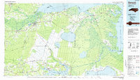 1985 Plymouth1985 Print · USGSThe coastal plains of Washington and Beaufort counties come into focus in the mid-eighties as a region defined by large-scale conservation and water-bound trade. Researchers can trace the layout of small farming towns like Pantego and Creswell alongside the vast waters of Phelps Lake and Lake Mattamuskeet.2 unique versions available
 - 2010 Map of Belhaven, 2010 Print
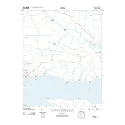 2010 Belhaven2010 Print · USGSThe coastal community of Belhaven and the Pungo River shoreline are documented here during the early twenty-first century. Researchers can trace family-named sites and river landings such as Haslin Corner, Leechville, and Sawyers Landing.
 - 2013 Map of Belhaven, 2013 Print
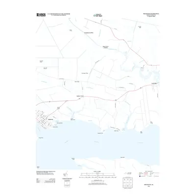 2013 Belhaven2013 Print · USGSCoastal Beaufort County in the early twenty-first century reveals a landscape shaped by the Pungo River and its intricate canals. Researchers can trace the waterfront development of Belhaven or locate traditional landings like Sawyers Landing and Piney Grove Landing.
 - 2016 Map of Belhaven, 2016 Print
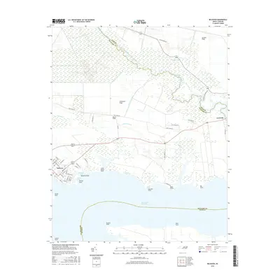 2016 Belhaven2016 Print · USGSThe Beaufort and Hyde County shoreline comes into focus during the mid-2010s, showing the intersection of coastal wetlands and rural infrastructure. Researchers can trace the layout of Belhaven streets and follow the Pungo River Canal through Pantego Swamp.
 - 2019 Map of Belhaven, 2019 Print
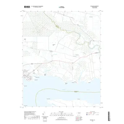 2019 Belhaven2019 Print · USGSIn the decade before the 2020s, the maritime landscape of Belhaven was defined by its intricate network of canals and coastal ridges. Researchers can trace the waterfront along Bible Shore, locate the small settlement of Leechville, and study the drainage of Pantego Swamp via the Pungo River Canal.
 - 2022 Map of Belhaven, 2022 Print
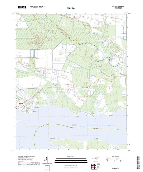 2022 Belhaven2022 Print · USGSBelhaven and the surrounding lowlands of Beaufort and Hyde counties are shown here in the early twenty-first century as a landscape shaped by water. Researchers can trace the layout of waterfront streets in Belhaven or locate family landmarks near Leechville, Beech Ridge, and Bible Shore.
End of results
Showing maps 1-12 of 12
Top cities near Haslin Corner
Frequently asked questions
- What are the different types of historical maps available for Haslin Corner?
- What is the oldest map of Haslin Corner?
- Where can I purchase historical maps of Haslin Corner for my home or office?
- Where can I download high-res historical maps of Haslin Corner?
- Are there historical topographic maps available for Haslin Corner?
- Is there historical aerial imagery available for Haslin Corner?
- Where are historical maps of Haslin Corner sourced from?