Old Maps of Ammon Ford, North Carolina for Academic Research
Study the evolution of Ammon Ford with 10 high-resolution historic maps. Whether you're teaching, researching, or modeling changes in land use, these maps provide essential visual documentation of urban, environmental, and geographic change.
- Analyze long-term change: Track patterns in development, transportation, and natural features.
- Ideal for environmental or urban studies: Support academic projects with primary historical map data.
- Use in the classroom or lab: Educators and researchers rely on these maps to bring historical context to life.
These maps are a powerful tool for teaching, research, and visualizing how Ammon Ford has changed over the decades.
Ammon Ford, NC maps
(10)- 1953 Map of Florence, 1964 Print
 1953 Florence1964 Print · USGSThe Carolina borderlands in the mid-fifties were a landscape of vast river swamps and rising rail towns. Trace the legacy of the Seaboard Air Line through Florence or explore the wetlands surrounding Lake Waccamaw and the Green Swamp.3 unique versions available
 - 1954 Map of Florence
 1954 Florence1954 Print · USGSThe Carolinas borderlands come alive in the early fifties, showing the vital rail-and-river networks of the coastal plain. Genealogists can trace family footprints across the Green Swamp or through settlements like Red Springs, Chadbourn, and McColl.
 - 1959 Map of Roseboro, 1960 Print
 1959 Roseboro1960 Print · USGSSampson and Bladen Counties appear here in the late fifties, showcasing a unique geography of elliptical bays and vast swamps. Local historians can locate the Cedar Grove Lookout Tower, trace the railroad through Roseboro, or find family sites near Dove Chapel and Simmons Mill Pond.2 unique versions available
 - 1982 Map of Elizabethtown, 1983 Print
 1982 Elizabethtown1983 Print · USGSSoutheastern North Carolina's coastal plain is captured here in the early eighties, showcasing a landscape defined by the Cape Fear River and mysterious Carolina Bays. Genealogists and researchers can trace the rail network of the Seaboard Coast Line through rural communities like Autryville, Ivanhoe, and the recreational hub of White Lake.
 - 1987 Map of Ammon
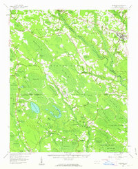
 1987 Ammon1987 Print · USGSCoastal plains and pocosin wetlands define this portion of Bladen County in the late eighties. Researchers can trace rural lineages through numerous local sites like Ammon, Windsor Ch, and the many family-named depressions like Cain Bay.
 - 2010 Map of Ammon, 2010 Print
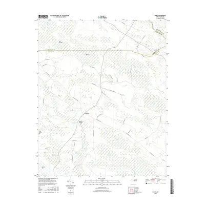
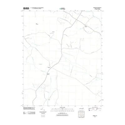 2010 Ammon2010 Print · USGSCovers Ammon Ford, including Peters Creek, Ammon, and other nearby areas
 - 2013 Map of Ammon, 2013 Print
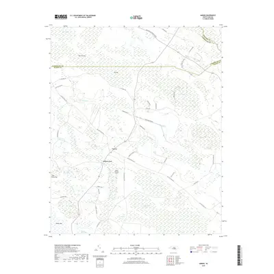
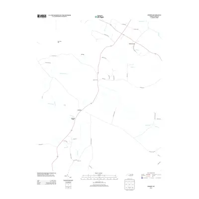 2013 Ammon2013 Print · USGSCovers Ammon Ford, including Peters Creek, Ammon, and other nearby areas
 - 2016 Map of Ammon, 2016 Print
 2016 Ammon2016 Print · USGSCovers Ammon Ford, including Peters Creek, Ammon, and other nearby areas
 - 2019 Map of Ammon, 2019 Print
 2019 Ammon2019 Print · USGSCovers Ammon Ford, including Peters Creek, Ammon, and other nearby areas
 - 2022 Map of Ammon, 2022 Print
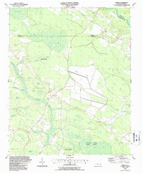
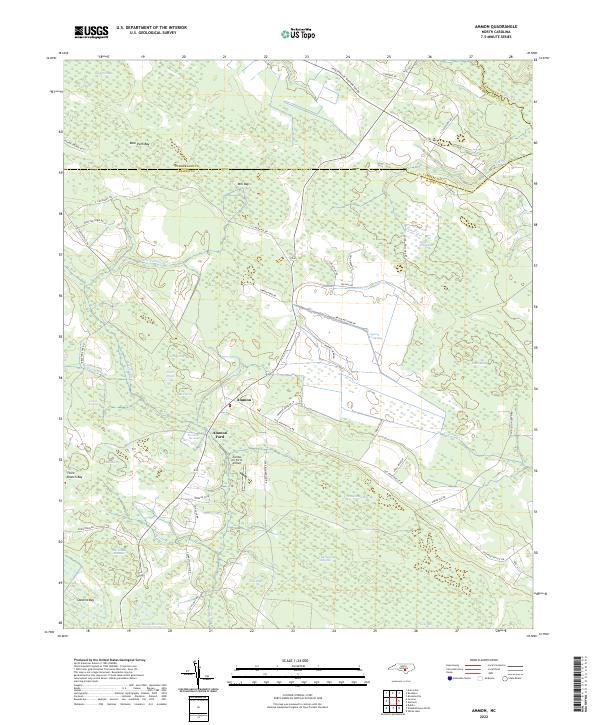 2022 Ammon2022 Print · USGSBladen County settlement and its distinctive Carolina bay landscape are shown here in the 2020s. Researchers can trace rural landmarks like Ammon Ford, the Charlie Long Millpond, and the curiously named Zombie Air Force Airport.
End of results
Showing maps 1-10 of 10
Top cities near Ammon Ford
- Fayetteville historical maps
- Clinton historical maps
- Elizabethtown historical maps
- Roseboro historical maps
- Stedman historical maps
- White Lake historical maps
See more
Frequently asked questions
- What are the different types of historical maps available for Ammon Ford?
- What is the oldest map of Ammon Ford?
- Where can I purchase historical maps of Ammon Ford for my home or office?
- Where can I download high-res historical maps of Ammon Ford?
- Are there historical topographic maps available for Ammon Ford?
- Is there historical aerial imagery available for Ammon Ford?
- Where are historical maps of Ammon Ford sourced from?