Old Maps of Bladen Springs, North Carolina for Hiking & Exploration
Hike through history with 11 historic maps of Bladen Springs. Explore old trails, ghost towns, and forgotten backroads — perfect for outdoor adventurers and local explorers.
- Rediscover forgotten places: Map out old mining camps, roads, and footpaths that no longer exist on modern maps.
- Layer with modern tools: Combine with LiDAR or satellite views to plan hikes through historical terrain.
- Made for exploration: Popular among hikers, overlanders, and local history lovers.
Use these maps to find adventure and explore the hidden past of Bladen Springs.
Bladen Springs, NC maps
(11)- 1953 Map of Florence, 1964 Print
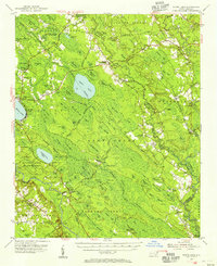
 1953 Florence1964 Print · USGSThe Carolina borderlands in the mid-fifties were a landscape of vast river swamps and rising rail towns. Trace the legacy of the Seaboard Air Line through Florence or explore the wetlands surrounding Lake Waccamaw and the Green Swamp.3 unique versions available
 - 1954 Map of Florence
 1954 Florence1954 Print · USGSThe Carolinas borderlands come alive in the early fifties, showing the vital rail-and-river networks of the coastal plain. Genealogists can trace family footprints across the Green Swamp or through settlements like Red Springs, Chadbourn, and McColl.
 - 1954 Map of White Lake, 1956 Print
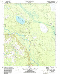
 1954 White Lake1956 Print · USGSCoastal Bladen and Sampson counties are shown here in the mid-fifties, dominated by the unique elliptical depressions of the Carolina Bays. Family researchers can locate remote landmarks like Kates Chapel Cem, Smith Crossroads, and the various landings along the Cape Fear River.
 - 1982 Map of Elizabethtown, 1983 Print
 1982 Elizabethtown1983 Print · USGSSoutheastern North Carolina's coastal plain is captured here in the early eighties, showcasing a landscape defined by the Cape Fear River and mysterious Carolina Bays. Genealogists and researchers can trace the rail network of the Seaboard Coast Line through rural communities like Autryville, Ivanhoe, and the recreational hub of White Lake.
 - 1986 Map of Singletary Lake
 1986 Singletary Lake1986 Print · USGSBladen County in the mid-1980s reveals a landscape shaped by the Cape Fear River and a distinctive network of Carolina Bays. Researchers can trace old river access points like Coal Mine Landing and family landmarks such as Marshall Cem and Atkinson Landing.
 - 2002 Map of Singletary Lake
 2002 Singletary Lake2002 Print · USGSBladen County at the turn of the millennium remains a landscape defined by the Cape Fear River and its mysterious Carolina Bays. Researchers can trace riverfront history through Coal Mine Landing and locate family sites like Atkinson Cem or Zion Chapel.
 - 2010 Map of Singletary Lake, 2010 Print
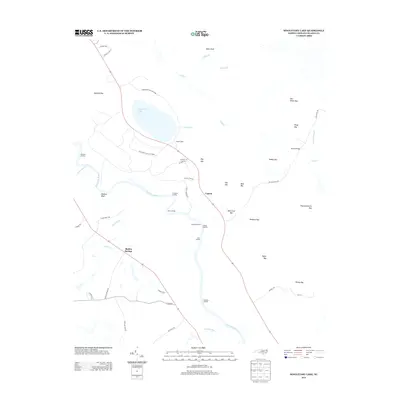
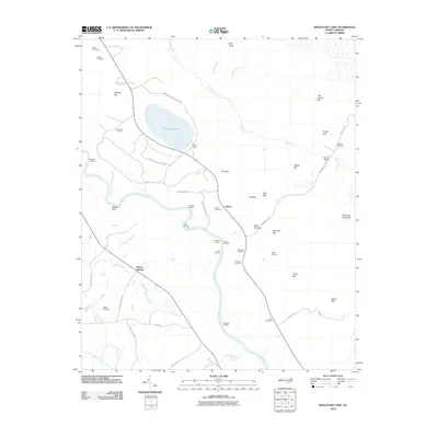 2010 Singletary Lake2010 Print · USGSCovers Bladen Springs, including Lagoon, Bladen County, and other nearby areas
 - 2013 Map of Singletary Lake, 2013 Print
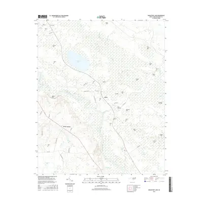
 2013 Singletary Lake2013 Print · USGSCovers Bladen Springs, including Lagoon, Bladen County, and other nearby areas
 - 2016 Map of Singletary Lake, 2016 Print
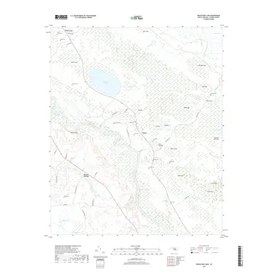
 2016 Singletary Lake2016 Print · USGSCovers Bladen Springs, including Lagoon, Bladen County, and other nearby areas
 - 2019 Map of Singletary Lake, 2019 Print
 2019 Singletary Lake2019 Print · USGSCovers Bladen Springs, including Lagoon, Bladen County, and other nearby areas
 - 2022 Map of Singletary Lake, 2022 Print
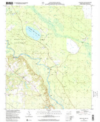
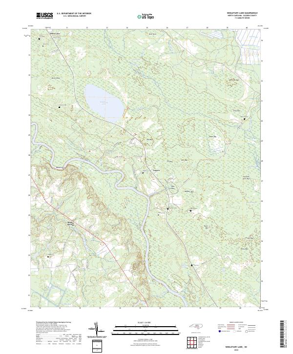 2022 Singletary Lake2022 Print · USGSBladen County's unique Carolina Bay landscape is documented here in the early 2020s, showing the intersection of river-bottom swamps and upland lakes. Genealogists can locate family burial sites like Smith Cemeteries and Beatty Cem near Walkers Bluff.
End of results
Showing maps 1-11 of 11
Top cities near Bladen Springs
- Whiteville historical maps
- Elizabethtown historical maps
- Lake Waccamaw historical maps
- Clarkton historical maps
- White Lake historical maps
- East Arcadia historical maps
See more
Frequently asked questions
- What are the different types of historical maps available for Bladen Springs?
- What is the oldest map of Bladen Springs?
- Where can I purchase historical maps of Bladen Springs for my home or office?
- Where can I download high-res historical maps of Bladen Springs?
- Are there historical topographic maps available for Bladen Springs?
- Is there historical aerial imagery available for Bladen Springs?
- Where are historical maps of Bladen Springs sourced from?