2020s Maps of East Arcadia, North Carolina
Explore 2 historic maps of East Arcadia from the 2020s. These maps offer a rare glimpse into what life looked like during the 2020s — showing old roads, neighborhoods, homes, and landmarks that have changed or disappeared over time.
Whether you're researching your family's past, planning a metal detecting trip, or studying how East Arcadia's landscape evolved across the 2020s, these high-resolution maps are a powerful tool for exploring the history of this region.
- Focus on a specific era: All maps on this page are from the 2020s, giving you a focused view of this time period.
- See what’s changed: Compare century-old streets, trails, and buildings to today's modern landscape using overlays and satellite layers.
- Research with precision: Use these maps for genealogy, historical research, land use analysis, or educational projects.
- View, download, or print: Maps are fully viewable online in high resolution, and can be downloaded or printed for your own records.
Start exploring East Arcadia's history through authentic maps from the 2020s. This is your window into the past.
East Arcadia, NC maps
(2)- 2022 Map of Freeman, 2022 Print
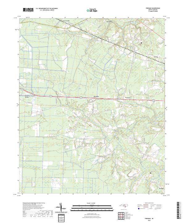 2022 Freeman2022 Print · USGSThe lowland border between Columbus and Bladen Counties is captured here in the early twenty-first century, showing a landscape defined by creeks and canals. Researchers can locate family landmarks like Malpass Cemetery, and trace the rural reaches of Byrdville and Sandyfield.
 - 2022 Map of Kelly, 2022 Print
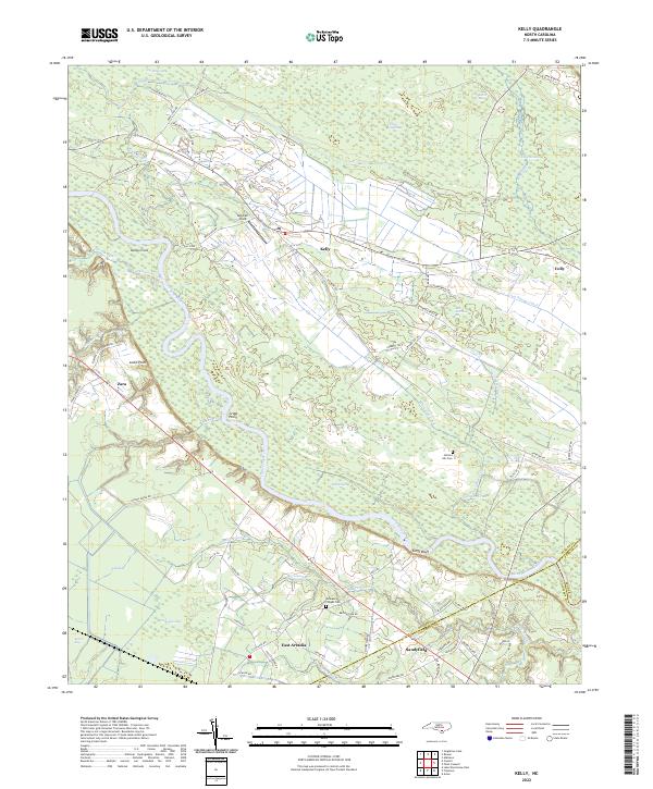 2022 Kelly2022 Print · USGSCoastal North Carolina riverlands come alive in this recent survey of the Bladen and Columbus county border. Researchers can trace rural lineages through Frenches Creek Church, Graham Chapel Cem, and river crossings near Locks Point.
End of results
Showing maps 1-2 of 2
Top cities near East Arcadia
- Leland historical maps
- Navassa historical maps
- Lake Waccamaw historical maps
- Northwest historical maps
- Bolton historical maps
- Sandyfield historical maps
See more
Frequently asked questions
- What are the different types of historical maps available for East Arcadia?
- What is the oldest map of East Arcadia?
- Where can I purchase historical maps of East Arcadia for my home or office?
- Where can I download high-res historical maps of East Arcadia?
- Are there historical topographic maps available for East Arcadia?
- Is there historical aerial imagery available for East Arcadia?
- Where are historical maps of East Arcadia sourced from?