Old Maps of Harrisburg, North Carolina for Academic Research
Study the evolution of Harrisburg with 22 high-resolution historic maps. Whether you're teaching, researching, or modeling changes in land use, these maps provide essential visual documentation of urban, environmental, and geographic change.
- Analyze long-term change: Track patterns in development, transportation, and natural features.
- Ideal for environmental or urban studies: Support academic projects with primary historical map data.
- Use in the classroom or lab: Educators and researchers rely on these maps to bring historical context to life.
These maps are a powerful tool for teaching, research, and visualizing how Harrisburg has changed over the decades.
Harrisburg, NC maps
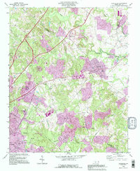
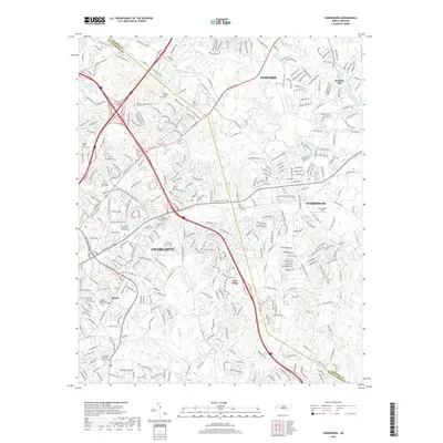
(22)- 1941 Map of Charlotte
 1941 Charlotte1941 Print · USGSMecklenburg and its surrounding counties are captured here at a pivotal moment in the early 1940s. Genealogists and local historians can trace the rail-driven growth of Charlotte or locate smaller rural landmarks like Alexanders Store, Wesley Chapel, and the community at Stallings.
 - 1942 Map of Charlotte
 1942 Charlotte1942 Print · USGSCharlotte and its surrounding Piedmont communities are captured here during the early years of the Second World War. Researchers can trace the rail corridors of the Southern and Seaboard Air Line or locate family-named sites like Alexanders Store, Hoods Cross Road, and Wesley Chapel.2 unique versions available
 - 1949 Map of Harrisburg
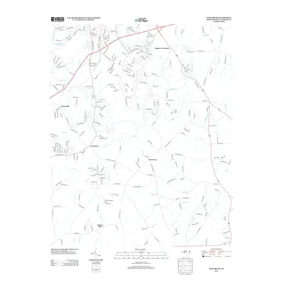
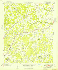 1949 Harrisburg1949 Print · USGSThe rural borderlands between Cabarrus and Mecklenburg counties are captured here just after the war, centered on the Southern rail line. Researchers can trace ancestral locations at Back Creek Chapel, Roberta Mill, or the Newell High Sch.
 - 1949 Map of Concord SE
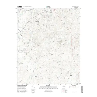
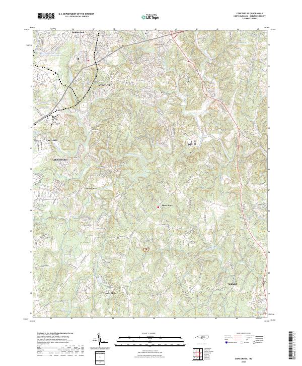
 1949 Concord SE1949 Print · USGSSoutheast Cabarrus County in the late 1940s is a landscape of rural schoolhouses and family-run mills centered on the Rocky River. Researchers can trace the locations of old community hubs like Pioneer Mills, Flowes Store, and the Jackson Training Sch.
 - 1953 Map of Charlotte, 1968 Print
 1953 Charlotte1968 Print · USGSThe North Carolina Piedmont and South Carolina borderlands are shown in detail during a period of significant growth and reservoir development. Trace the rail corridors of the Southern Railway or find family roots in towns like China Grove, Misenheimer, and Lincolnton.3 unique versions available
 - 1954 Map of Charlotte
 1954 Charlotte1954 Print · USGSThe North Carolina Piedmont in the mid-1950s shows a region of rapid growth and industrial expansion centered around Charlotte. Trace the era's infrastructure through the Southern railroad lines and locate significant landmarks like the Charlotte Naval Ammunition Depot and Lake Norman.2 unique versions available
 - 1960 Map of Charlotte
 1960 Charlotte1960 Print · USGSMid-century North Carolina and South Carolina meet in this 1960 survey of the Piedmont's industrial and textile heartland. Trace the growth of Charlotte alongside historic landmarks like Kings Mountain National Military Park and the Charlotte Naval Ammunition Depot.2 unique versions available
 - 1962 Map of Charlotte
 1962 Charlotte1962 Print · USGSThe North Carolina Piedmont in the early sixties showcases a landscape transformed by massive reservoirs and industrial growth. Researchers can trace the development of Lake Norman, locate the Charlotte Naval Ammunition Depot, or find family landmarks like Wesley Chapel and Brown & Norcott Mills.
 - 1969 Map of Concord SE, 1972 Print
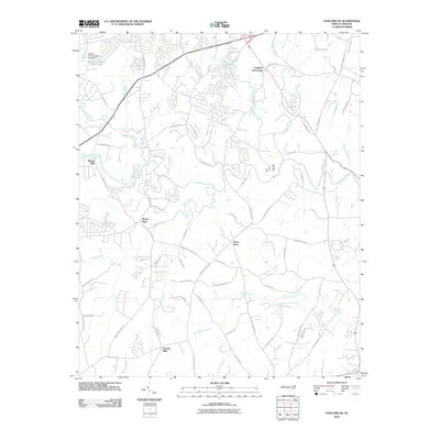
 1969 Concord SE1972 Print · USGSThe rural Cabarrus County landscape of the late sixties is defined by the winding ROCKY RIVER and a network of historic crossroads. Researchers can trace the roots of local settlements and congregations at Pioneer Mills, Flows Store, and Zion Hill Ch.3 unique versions available
 - 1969 Map of Harrisburg, 1972 Print
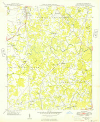
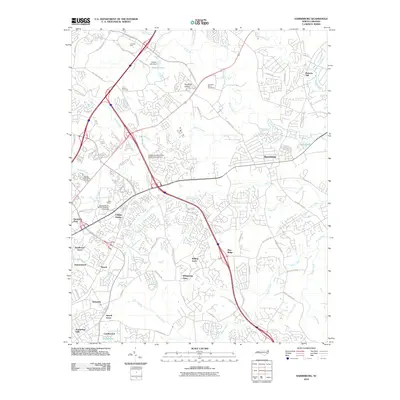
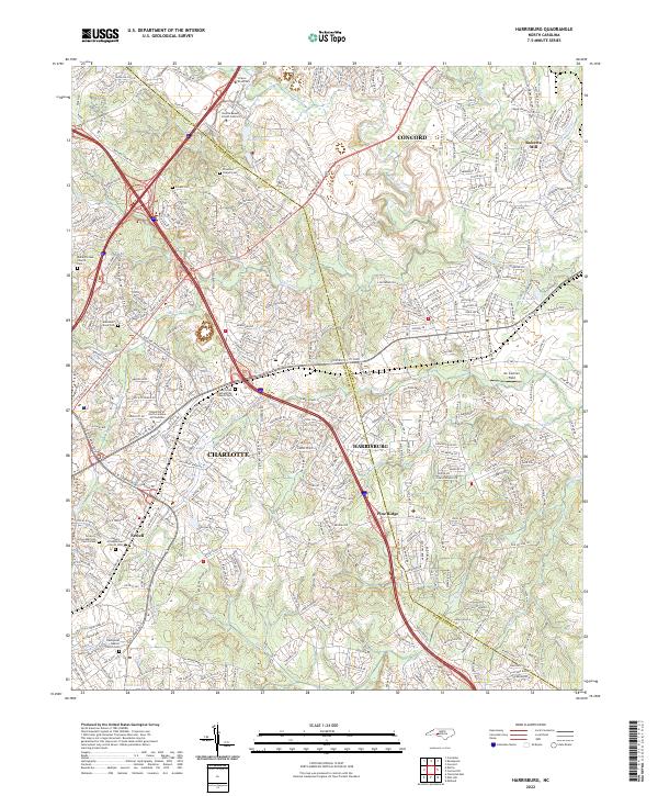
 1969 Harrisburg1972 Print · USGSThe Cabarrus and Mecklenburg county line near Harrisburg was entering a period of significant growth in the late sixties. Genealogists and local historians can trace the footprint of Roberta Mills, the early Univ of North Carolina at Charlotte, and Siloam Cem.2 unique versions available
 - 1985 Map of Charlotte, 1986 Print
 1985 Charlotte1986 Print · USGSThe Piedmont region in the mid-eighties shows the rapid growth of the Charlotte metro area alongside established textile and college towns. Trace local heritage at the Reed Gold Mine or explore the rail corridors of the Southern Railway and Winston-Salem Southbound Railway.2 unique versions available
 - 1993 Map of Harrisburg, 1996 Print
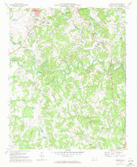
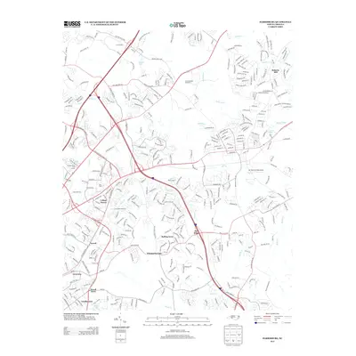
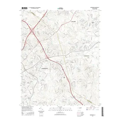
 1993 Harrisburg1996 Print · USGSThe northern edges of Charlotte meet Cabarrus County in the 1990s, showing a mix of established textile heritage and modern growth. Trace the development of the UNC Charlotte campus or find local roots at Siloam Ch and Roberta Mill.
 - 2010 Map of Harrisburg, 2010 Print
 2010 Harrisburg2010 Print · USGSCovers Harrisburg, including Charlotte, Concord, and other nearby areas
 - 2010 Map of Concord SE, 2010 Print
 2010 Concord SE2010 Print · USGSCovers Harrisburg, including Concord, Midland, and other nearby areas
 - 2013 Map of Harrisburg, 2013 Print
 2013 Harrisburg2013 Print · USGSCovers Harrisburg, including Charlotte, Concord, and other nearby areas
 - 2013 Map of Concord SE, 2013 Print
 2013 Concord SE2013 Print · USGSCovers Harrisburg, including Concord, Midland, and other nearby areas
 - 2016 Map of Concord SE, 2016 Print
 2016 Concord SE2016 Print · USGSCovers Harrisburg, including Concord, Midland, and other nearby areas
 - 2016 Map of Harrisburg, 2016 Print
 2016 Harrisburg2016 Print · USGSCovers Harrisburg, including Charlotte, Concord, and other nearby areas
 - 2019 Map of Concord SE, 2019 Print
 2019 Concord SE2019 Print · USGSCovers Harrisburg, including Concord, Midland, and other nearby areas
 - 2019 Map of Harrisburg, 2019 Print
 2019 Harrisburg2019 Print · USGSCovers Harrisburg, including Charlotte, Concord, and other nearby areas
 - 2022 Map of Harrisburg, 2022 Print
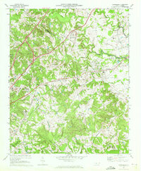
 2022 Harrisburg2022 Print · USGSThe Cabarrus and Mecklenburg county line is shown here in the 2020s, a landscape defined by the Rocky River and institutional growth. Genealogists can trace family history at the Alexander Slave Cem, Siloam Cem, and Mallard Creek Church Cem.
 - 2022 Map of Concord SE, 2022 Print
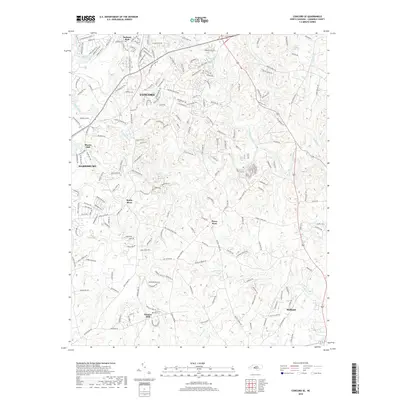
 2022 Concord SE2022 Print · USGSCabarrus County's southern corridor comes into focus in this contemporary survey of the Piedmont landscape. Trace local heritage through historic crossroads and landmarks like Pioneer Mills, the old site of Pharrs Mill, and the community at Midland.
End of results
Showing maps 1-22 of 22
Top cities near Harrisburg
- Charlotte historical maps
- Concord historical maps
- Huntersville historical maps
- Kannapolis historical maps
- Mooresville historical maps
- Monroe historical maps
See more
Top neighborhoods of Harrisburg
Frequently asked questions
- What are the different types of historical maps available for Harrisburg?
- What is the oldest map of Harrisburg?
- Where can I purchase historical maps of Harrisburg for my home or office?
- Where can I download high-res historical maps of Harrisburg?
- Are there historical topographic maps available for Harrisburg?
- Is there historical aerial imagery available for Harrisburg?
- Where are historical maps of Harrisburg sourced from?