Old Maps of Indiantown, North Carolina for Academic Research
Study the evolution of Indiantown with 10 high-resolution historic maps. Whether you're teaching, researching, or modeling changes in land use, these maps provide essential visual documentation of urban, environmental, and geographic change.
- Analyze long-term change: Track patterns in development, transportation, and natural features.
- Ideal for environmental or urban studies: Support academic projects with primary historical map data.
- Use in the classroom or lab: Educators and researchers rely on these maps to bring historical context to life.
These maps are a powerful tool for teaching, research, and visualizing how Indiantown has changed over the decades.
Indiantown, NC maps
(10)- 1948 Map of Elizabeth City
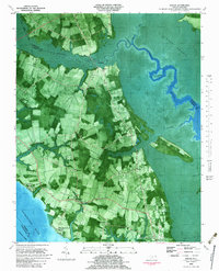
 1948 Elizabeth City1948 Print · USGSCoastal North Carolina at the end of the 1940s reveals a landscape of massive swamps and vital rail corridors. Genealogists and historians can trace family-named crossroads like Hastings Corner and Smiths Corner, or locate the old Lumber Mill and Norfolk Southern Railroad stops.2 unique versions available
 - 1953 Map of Norfolk, 1954 Print
 1953 Norfolk1954 Print · USGSCoastal Virginia and northeastern North Carolina appear here during the post-war industrial boom, showing the critical rail-and-sea connections of Hampton Roads. Genealogists can trace family roots through rural landmarks like Gethsemane Ch, the Caledonia State Prison Farm, and the vast interior of the Dismal Swamp.4 unique versions available
 - 1982 Map of Shiloh, 1983 Print
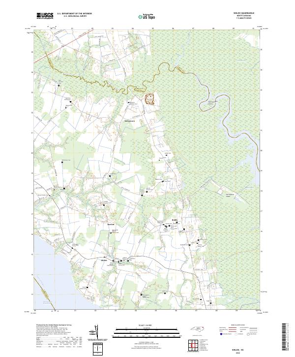
 1982 Shiloh1983 Print · USGSCamden County's river-dependent landscape is documented in the early eighties as agriculture and the tidal wetlands met along the Pasquotank. Genealogists can locate family burial plots and community landmarks like New Shiloh Ch, Smiths Corner, and the Belcross Lookout Tower.
 - 1985 Map of Elizabeth City
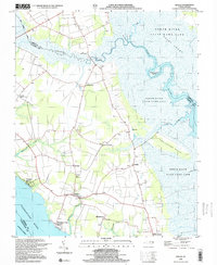
 1985 Elizabeth City1985 Print · USGSCoastal North Carolina's rivers and sounds define the landscape of the mid-eighties, from the vast swamps to the historical waterfronts of Elizabeth City and Edenton. Researchers can trace the rail lines of the Southern Ry or locate landmarks like Beaver Hill Cem and South Mills.2 unique versions available
 - 1999 Map of Shiloh, 2003 Print
 1999 Shiloh2003 Print · USGSCamden County's river-bounded landscape is captured here at the end of the century, showing a region defined by its swamps and coastal reaches. Researchers can locate numerous family cemeteries and early church sites such as New Shiloh Ch and Smiths Corner.
 - 2010 Map of Shiloh, 2010 Print
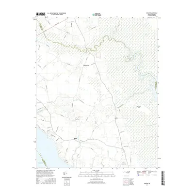
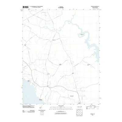 2010 Shiloh2010 Print · USGSCovers Indiantown, including Alder Branch, Smiths Corner, and other nearby areas
 - 2013 Map of Shiloh, 2013 Print
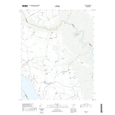
 2013 Shiloh2013 Print · USGSCovers Indiantown, including Alder Branch, Smiths Corner, and other nearby areas
 - 2016 Map of Shiloh, 2016 Print
 2016 Shiloh2016 Print · USGSCovers Indiantown, including Alder Branch, Smiths Corner, and other nearby areas
 - 2019 Map of Shiloh, 2019 Print
 2019 Shiloh2019 Print · USGSCovers Indiantown, including Alder Branch, Smiths Corner, and other nearby areas
 - 2022 Map of Shiloh, 2022 Print
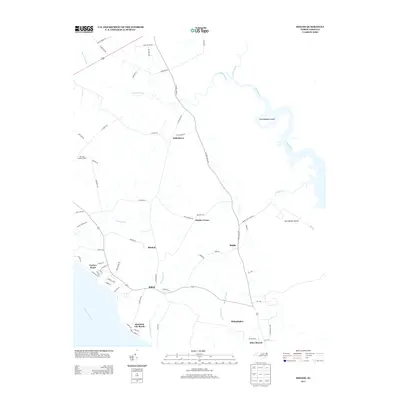
 2022 Shiloh2022 Print · USGSCoastal Camden County is shown in this modern survey, capturing the intricate wetlands and rural crossroads of the North Carolina Inner Banks. Genealogists can trace numerous family-named landmarks including the Isaac Prichard Cem, Mercer Family Cem, and Gregory Family Cem.
End of results
Showing maps 1-10 of 10
Top cities near Indiantown
Frequently asked questions
- What are the different types of historical maps available for Indiantown?
- What is the oldest map of Indiantown?
- Where can I purchase historical maps of Indiantown for my home or office?
- Where can I download high-res historical maps of Indiantown?
- Are there historical topographic maps available for Indiantown?
- Is there historical aerial imagery available for Indiantown?
- Where are historical maps of Indiantown sourced from?