Old Maps of Camden County, North Carolina for Metal Detecting
Plan your next treasure hunt with 101 historic maps of Camden County. Find old homesites, ghost towns, trails, and gathering spots that may be lost to time — perfect for identifying promising metal detecting locations.
- Locate forgotten sites: Uncover places like long-lost settlements, abandoned rail lines, or gathering spots.
- Plan better hunts: Use map overlays combined with LiDAR or satellite views to narrow in on historically rich areas.
- Made for detectorists: Thousands of hobbyists use these maps to discover relics, coins, and hidden history.
Use these historic maps to boost your research and find new opportunities beneath the surface of Camden County.
Camden County, NC maps
(101)- 1919 Map of Suffolk
 1919 Suffolk1919 Print · USGSCoastal Virginia and the North Carolina borderlands are defined by the convergence of six major railroads at Suffolk during the late teens. Genealogists can trace family landmarks like Pauls Branch Church and the Franklin Grove School along the edge of the Dismal Swamp.3 unique versions available
 - 1940 Map of Barco
 1940 Barco1940 Print · USGSThe Currituck Banks and mainland North Carolina appear here during the early 1940s, highlighting a landscape of remote maritime villages and essential coastal navigation. Researchers can trace the Inland Waterway past Coinjock or locate early landmarks like the Currituck Beach Lighthouse and Poyner Hill C. G. Sta.2 unique versions available
 - 1940 Map of Powells Point
 1940 Powells Point1940 Print · USGSThe North Carolina coast at the start of the 1940s shows the Currituck peninsula just as the Wright Memorial Bridge opened it to more travel. Trace family roots and old landings in Jarvisburg, Powells Point, and Sawyers Lodge.2 unique versions available
 - 1940 Map of Lake Drummond, 1964 Print
 1940 Lake Drummond1964 Print · USGSThe Great Dismal Swamp and its drainage canals are captured here in the 1940s, showing a landscape defined by timber extraction and transit. Genealogists and historians can trace old schools and landings from Jacks Camp to Wallaceton Sch and the Lumber RR.
 - 1940 Map of Wade Point, 1973 Print
 1940 Wade Point1973 Print · USGSCoastal Pasquotank County at the start of the 1940s shows a landscape of tidewater farming and strategic military aviation. Genealogists and historians can trace family locations near Weeksville, the Air Base, and the fishing grounds of the Frog Island Fishing Club.
 - 1940 Map of South Mills, 1976 Print
 1940 South Mills1976 Print · USGSCamden and Pasquotank counties are shown in the early 1940s as communities navigated the edges of the Dismal Swamp. Genealogists can locate family-named hubs like Pierceville and Johnsons Corner or trace the Norfolk Southern Railroad line.
 - 1943 Map of Wade Point
 1943 Wade Point1943 Print · USGSThe North Carolina tidewater during the mid-forties is captured here as coastal defense and local life intersect along the Pasquotank River. Trace wartime activity at the Naval Air Base or explore rural settlements like Old Trap, Weeksville, and Listers Corner.
 - 1945 Map of Lake Drummond
 1945 Lake Drummond1945 Print · USGSThe Dismal Swamp straddles the Virginia-North Carolina line in the 1940s, revealing a landscape defined by timber extraction and historic waterways. Researchers can trace the Intracoastal Waterway, the Lumber RR, and local centers like Wallaceton and Deep Creek.
 - 1946 Map of Eastville, 1971 Print
 1946 Eastville1971 Print · USGSCoastal Virginia and the Outer Banks are captured here during a period of expanding naval and aerospace presence. Researchers can trace the path of the Penn Central railroad through Chincoteague and Modest Town, or locate landmarks like the Wright Brothers National Memorial.
 - 1946 Map of Currituck Sound, 1980 Print
 1946 Currituck Sound1980 Print · USGSThe Virginia and North Carolina coastline appears in detail during the mid-twentieth century as a network of maritime villages and military outposts. Genealogists and local historians can trace family locations from Virginia Beach south to Kitty Hawk, including landmarks like the Currituck Beach Lighthouse and the Wright Brothers National Memorial.
 - 1948 Map of Wade Point
 1948 Wade Point1948 Print · USGSCoastal Pasquotank County is seen here in the late 1940s, where the river-rich landscape meets the sound. Genealogists can trace family names and small hubs like Weeksville, Listers Corner, and the Frog Island Fishing Club along the intricate marshes and creeks.2 unique versions available
 - 1948 Map of Elizabeth City
 1948 Elizabeth City1948 Print · USGSCoastal North Carolina at the end of the 1940s reveals a landscape of massive swamps and vital rail corridors. Genealogists and historians can trace family-named crossroads like Hastings Corner and Smiths Corner, or locate the old Lumber Mill and Norfolk Southern Railroad stops.2 unique versions available
 - 1952 Map of South Mills
 1952 South Mills1952 Print · USGSCoastal North Carolina at mid-century reveals a complex network of timber mills and canal-side hamlets bordering the great wetlands. Trace ancestral roots and early industry through family landmarks like Lynchs Corner, the Dismal Swamp Canal, and Burnt Mills.
 - 1953 Map of Norfolk, 1954 Print
 1953 Norfolk1954 Print · USGSCoastal Virginia and northeastern North Carolina appear here during the post-war industrial boom, showing the critical rail-and-sea connections of Hampton Roads. Genealogists can trace family roots through rural landmarks like Gethsemane Ch, the Caledonia State Prison Farm, and the vast interior of the Dismal Swamp.4 unique versions available
 - 1954 Map of Corapeake, 1955 Print
 1954 Corapeake1955 Print · USGSThe Virginia and North Carolina borderlands in the mid-fifties are defined by the transition from rural settlements into the sprawling Dismal Swamp. Genealogists and local historians can trace family locations through Cypress Chapel, Corapeake, and small sites like Brickley Cem or Zion Tabernacle Ch.
 - 1954 Map of Lake Drummond, 1956 Print
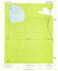 1954 Lake Drummond1956 Print · USGSThe Dismal Swamp interior and its border with North Carolina are captured here in the mid-fifties, showing the intersection of historic waterways and early settlements. Trace the vital connections between Lake Drummond, the Feeder Ditch, and the Dismal Swamp Canal near Wallaceton.2 unique versions available
 - 1954 Map of Lake Drummond SE, 1956 Print
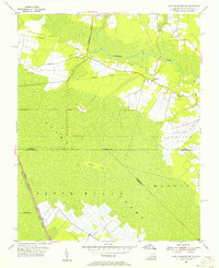 1954 Lake Drummond SE1956 Print · USGSThe Virginia and North Carolina borderlands are captured here in the mid-fifties, revealing the intricate water systems of the Dismal Swamp. Genealogists and historians can trace old landmarks like Gertie Sch and the Old Railroad Grade near Cornland.3 unique versions available
 - 1954 Map of Suffolk, 1958 Print
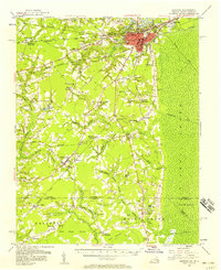 1954 Suffolk1958 Print · USGSThe rail and river hub of Suffolk met the edge of the Great Dismal Swamp in the mid-1950s. Historians and genealogists can trace the early layout of Whaleyville, the transit routes through Buckhorn, and local landmarks like Liberty Spring Ch.2 unique versions available
 - 1961 Map of Eastville
 1961 Eastville1961 Print · USGSThe Eastern Shore and Outer Banks are captured here in the mid-twentieth century, showing a maritime landscape of lighthouses, rail-linked towns, and naval outposts. Researchers can trace the Pennsylvania Railroad through Parksley or locate historical sites like Chincoteague Field Naval Auxiliary Air Station and Tangier Island.
 - 1966 Map of Eastville
 1966 Eastville1966 Print · USGSThe Delmarva Peninsula and Outer Banks appear in the mid-sixties, showing a landscape of maritime trade, military outposts, and fishing villages. Researchers can trace the lines of the Norfolk & Southern through Exmore and Parksley or locate historical sites like Fort John Custis and the Janes Island Lighthouse.
 - 1977 Map of Lake Drummond SE, 1978 Print
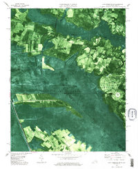 1977 Lake Drummond SE1978 Print · USGSThe Virginia and North Carolina borderlands come into focus in the late 1970s, showcasing the intricate drainage of the southern Great Dismal Swamp. Researchers can trace family history through sites like Lake Drummond Ch or locate the Old Railroad Grade and Culpeper Island.
 - 1977 Map of Corapeake, 1978 Print
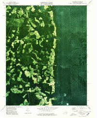 1977 Corapeake1978 Print · USGSThe Virginia and North Carolina borderlands come into focus in the 1970s, where the vast wetlands meet rural farmsteads. Trace family history through Winslow Cem and Riddick Cem, or follow the rigid waterlines of Corapeake Ditch into the Great Dismal Swamp.2 unique versions available
 - 1977 Map of Lake Drummond, 1978 Print
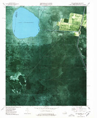 1977 Lake Drummond1978 Print · USGSThe Great Dismal Swamp and Lake Drummond are captured here in the late seventies, showing the complex boundary between Virginia and North Carolina. Genealogists and researchers can trace the old settlements of Wallaceton and Arbuckle Landing along the George Washington Highway.2 unique versions available
 - 1982 Map of South Mills
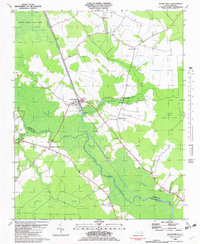 1982 South Mills1982 Print · USGSThe Great Dismal Swamp and its historic canal network define this coastal North Carolina landscape in the early eighties. Researchers can trace rural lineages through sites like Morgans Corners, Trinity Ch, and the Memory Gardens Cemetery.
 - 1982 Map of Pasquotank
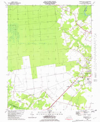 1982 Pasquotank1982 Print · USGSIn the early 1980s, the edge of the Great Dismal Swamp met the expanding infrastructure of Elizabeth City and the Pasquotank River. Researchers can trace the layout of community landmarks like Albemarle Academy, Samuel Chapel, and the industrial corridors of the NORFOLK SOUTHERN railroad.
Showing maps 1-25 of 101
Top cities of Camden County
Frequently asked questions
- What are the different types of historical maps available for Camden County?
- What is the oldest map of Camden County?
- Where can I purchase historical maps of Camden County for my home or office?
- Where can I download high-res historical maps of Camden County?
- Are there historical topographic maps available for Camden County?
- Is there historical aerial imagery available for Camden County?
- Where are historical maps of Camden County sourced from?