2000s (21st Century) Maps of Camden County, North Carolina
Explore 60 historic maps of Camden County from the 2000s (21st Century). These maps offer a rare glimpse into what life looked like during the 2000s — showing old roads, neighborhoods, homes, and landmarks that have changed or disappeared over time.
Whether you're researching your family's past, planning a metal detecting trip, or studying how Camden County's landscape evolved across the 2000s, these high-resolution maps are a powerful tool for exploring the history of this region.
- Focus on a specific era: All maps on this page are from the 2000s, giving you a focused view of this time period.
- See what’s changed: Compare century-old streets, trails, and buildings to today's modern landscape using overlays and satellite layers.
- Research with precision: Use these maps for genealogy, historical research, land use analysis, or educational projects.
- View, download, or print: Maps are fully viewable online in high resolution, and can be downloaded or printed for your own records.
Start exploring Camden County's history through authentic maps from the 2000s. This is your window into the past.
Camden County, NC maps
(60)- 2010 Map of Elizabeth City, 2010 Print
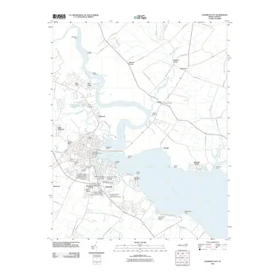 2010 Elizabeth City2010 Print · USGSCoastal North Carolina comes into focus here at the start of the 2010s, centering on the riverfront development of Elizabeth City and Camden. Genealogists and local historians can trace the grounds of Hollywood Cemetery or the expansive campus of Elizabeth City State University.
 - 2010 Map of Shiloh, 2010 Print
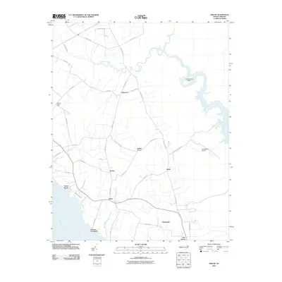 2010 Shiloh2010 Print · USGSCamden County's coastal peninsula and its network of inland canals are shown here as they appeared in the early twenty-first century. Genealogists and local historians can trace family locations near Shiloh, Philadelphia, and the wetlands surrounding Thoroughfare Island.
 - 2010 Map of South Mills, 2010 Print
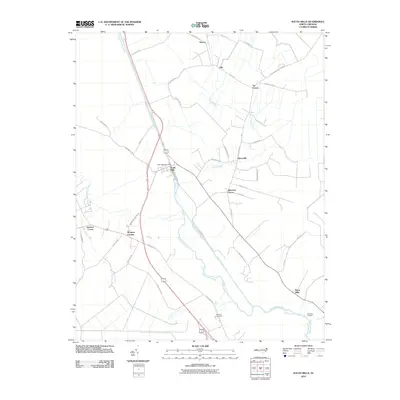 2010 South Mills2010 Print · USGSCamden County's landscape is defined by the historic Dismal Swamp Canal and the meandering Pasquotank River in the early twenty-first century. Genealogists and local historians can trace the placement of rural hubs like South Mills, Burnt Mills, and Pierceville.
 - 2010 Map of Pasquotank, 2010 Print
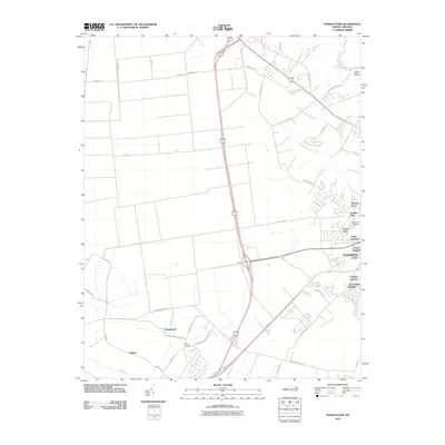 2010 Pasquotank2010 Print · USGSElizabeth City and its surrounding rural communities are documented here in the first decade of the new millennium. Researchers can trace the layout of neighborhoods like Hickory Acres or locate family sites near Okisko and Mount Herman.
 - 2010 Map of Lynchs Corner, 2010 Print
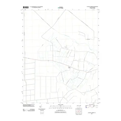 2010 Lynchs Corner2010 Print · USGSPasquotank County at the start of the twenty-first century reveals a landscape shaped by water management and timber tracts. Researchers can trace rural settlement patterns and local landmarks like Lynchs Corner, Tadmore, and the engineered Newland Drainage Canal.
 - 2010 Map of Camden Point, 2010 Print
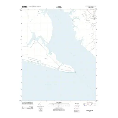 2010 Camden Point2010 Print · USGSCoastal Currituck County is captured here in the early twenty-first century, showing the established waterfront communities near the Albemarle Sound. Genealogists can locate family sites near Grandy, Walnut Island, and the landings along the North River.
 - 2010 Map of Coinjock, 2010 Print
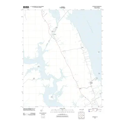 2010 Coinjock2010 Print · USGSCoastal Currituck County comes into focus in this early 21st-century study of the Outer Banks' mainland. Local historians can trace the maritime hubs of Coinjock and Aydlett, locating landmarks like the Midway Marina and the Poplar Branch Landing.
 - 2010 Map of Lambs Corner, 2010 Print
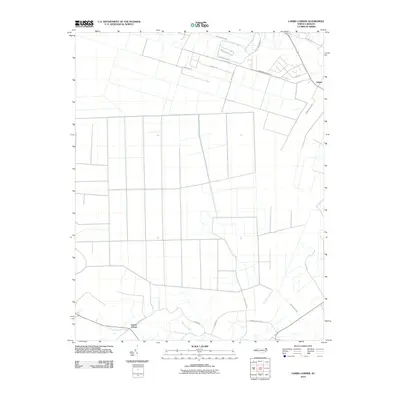 2010 Lambs Corner2010 Print · USGSCurrituck County's coastal plain is captured here in the early twenty-first century, showcasing a landscape shaped by intricate water management. Researchers can trace the development of small communities like Lambs Corner and Guinea while exploring an extensive network of drainage channels such as Lateral A Canal and Guinea Mill Run Canal.
 - 2010 Map of Wade Point, 2010 Print
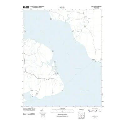 2010 Wade Point2010 Print · USGSCamden County's coastal peninsula is shown here in the early twenty-first century, where the river meets the sound. Genealogists and local historians can trace family land and small communities from Old Trap and Frog Island down to the shores of Sound Landing.
 - 2011 Map of Corapeake, 2011 Print
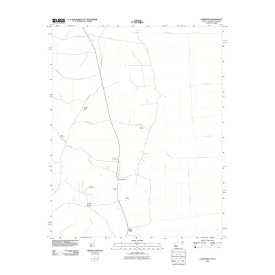 2011 Corapeake2011 Print · USGSCorapeake and the surrounding Gates County countryside appear in this modern survey of the North Carolina borderlands. Researchers can locate several family burial grounds like Jones Cemetery and Riddick Cemetery among the many canals and ditches.
 - 2011 Map of Lake Drummond, 2011 Print
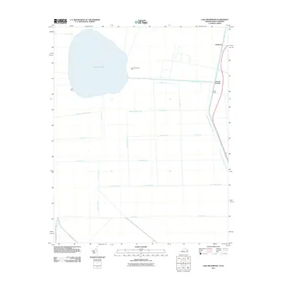 2011 Lake Drummond2011 Print · USGSThe Great Dismal Swamp at the start of the 2010s reveals a complex landscape of historic water management and secluded landings. Researchers can trace the geometric grid of old drainage routes like Riddick Ditch and Kim Saunders Ditch or locate outposts such as Arbuckle Landing and Jacks Camp.
 - 2011 Map of Lake Drummond SE, 2011 Print
 2011 Lake Drummond SE2011 Print · USGSCoastal wetlands on the North Carolina and Virginia border are shown here just after the turn of the millennium. Researchers can trace the engineering of the Dismal Swamp Canal and local landmarks like Smith Ridge or Culpeper Island.
 - 2013 Map of South Mills, 2013 Print
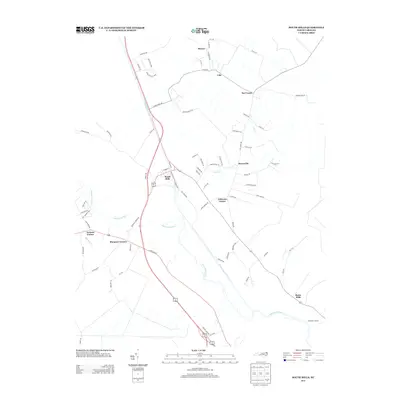 2013 South Mills2013 Print · USGSCamden County's landscape is defined by the historic waterway of the Dismal Swamp Canal in this modern-day survey. Researchers can trace the local road networks and family-named locales like Morgans Corners, South Mills, and Burnt Mills.
 - 2013 Map of Pasquotank, 2013 Print
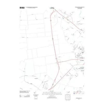 2013 Pasquotank2013 Print · USGSPasquotank County and the western edges of Elizabeth City appear here in the early 2010s as suburban growth meets the river plains. Researchers can trace the layout of residential developments like Chapell Gardens and find rural landmarks such as Okisko and Possum Quarter Landing.
 - 2013 Map of Lynchs Corner, 2013 Print
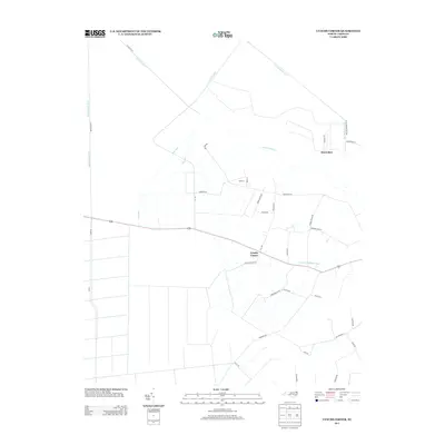 2013 Lynchs Corner2013 Print · USGSCoastal North Carolina drainage and rural settlements are the focus here in the early twenty-first century. Genealogists and local historians can trace the road networks around Lynchs Corner, Horseshoe, and the banks of the Pasquotank River.
 - 2013 Map of Elizabeth City, 2013 Print
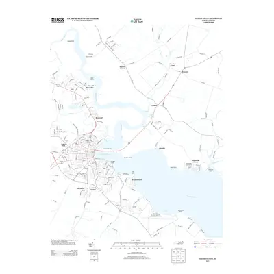 2013 Elizabeth City2013 Print · USGSCoastal North Carolina's riverfront life is on full display in this survey of the river as it appeared in the early 2010s. Trace the neighborhoods of Elizabeth City and the sprawling Coast Guard Air Station or explore the rural crossings near Camden and Belcross.
 - 2013 Map of Lambs Corner, 2013 Print
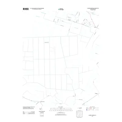 2013 Lambs Corner2013 Print · USGSCoastal North Carolina at the start of the 2010s reveals a landscape meticulously managed by historic drainage networks and rural settlements. Researchers can trace the layout of Lambs Corner, the Blackwater Airstrip, and the path of the Guinea Mill Run Canal.
 - 2013 Map of Shiloh, 2013 Print
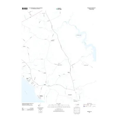 2013 Shiloh2013 Print · USGSCamden County's river-bound landscape is captured here in the early twenty-first century, showing a region deeply tied to its canals and coastal plains. Researchers can trace the layout of waterfront communities like Elizabeth City Beach and inland crossroads such as Indiantown and Shiloh.
 - 2013 Map of Corapeake, 2013 Print
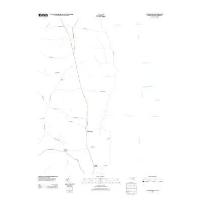 2013 Corapeake2013 Print · USGSCoastal plain settlements near the North Carolina and Virginia border are shown here in the early twenty-first century. Researchers can trace the drainage of Dragon Swamp and locate rural communities like Corapeake, Ure Island, and Parkers Fork.
 - 2013 Map of Wade Point, 2013 Print
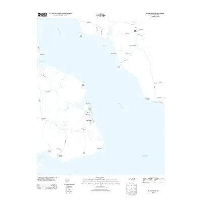 2013 Wade Point2013 Print · USGSCamden County's coastal reaches are documented here in the early twenty-first century, showing a landscape defined by the Pasquotank River and the sea. Researchers can trace local landmarks like Old Trap, Frog Island, and the waterfront at Sound Landing.
 - 2013 Map of Coinjock, 2013 Print
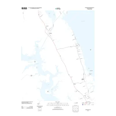 2013 Coinjock2013 Print · USGSThe Currituck County waterfront is captured here just over a decade ago, showcasing the intricate shoreline where the North River meets the Currituck Sound. Researchers can trace local heritage through maritime landmarks like Poplar Branch Landing and settlements such as Aydlett and Bertha.
 - 2013 Map of Camden Point, 2013 Print
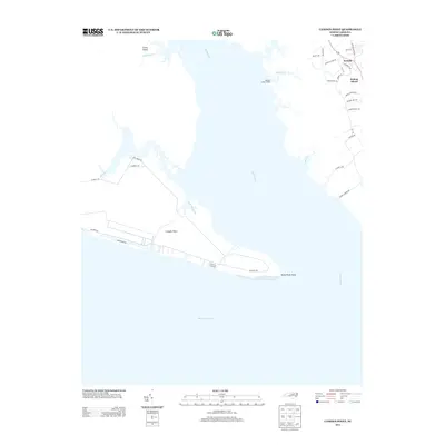 2013 Camden Point2013 Print · USGSCoastal Currituck County and the mouth of the North River are documented here in the early twenty-first century. Researchers can trace the waterfront developments at Grandy and Walnut Island or locate the shoreline features of Camden Point and Barnett Creek Landing.
 - 2013 Map of Lake Drummond SE, 2013 Print
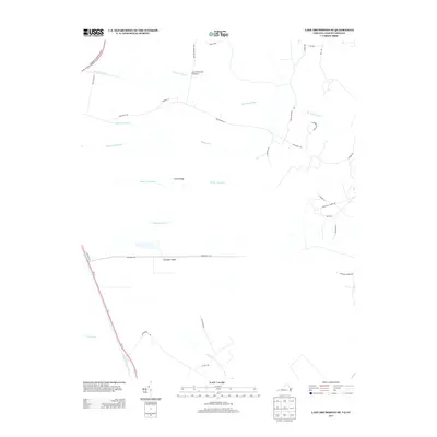 2013 Lake Drummond SE2013 Print · USGSThe Virginia and North Carolina borderlands come alive in the early 2010s, showing a landscape defined by historic water management and rural roads. Researchers can trace the path of the Dismal Swamp Canal and locate family landmarks along Ballahack Rd or near Culpeper Island.
 - 2013 Map of Lake Drummond, 2013 Print
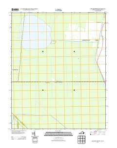 2013 Lake Drummond2013 Print · USGSThe swampy lowlands of the Virginia and North Carolina borderlands are defined by an intricate network of historic canals and ditches in this 2013 survey. Researchers can trace early water management at Lake Drummond and locate sites like Arbuckle Landing, Wallaceton, and Jacks Camp.
 - 2016 Map of Camden Point, 2016 Print
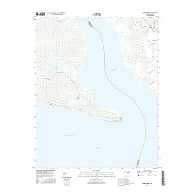 2016 Camden Point2016 Print · USGSThe Inner Banks of Currituck and Camden counties come into focus during the mid-2010s, defined by the meeting of the North River and Albemarle Sound. Trace residential growth in Grandy or follow the path of the Intracoastal Waterway past Camden Point.
Showing maps 1-25 of 60
Top cities of Camden County
Frequently asked questions
- What are the different types of historical maps available for Camden County?
- What is the oldest map of Camden County?
- Where can I purchase historical maps of Camden County for my home or office?
- Where can I download high-res historical maps of Camden County?
- Are there historical topographic maps available for Camden County?
- Is there historical aerial imagery available for Camden County?
- Where are historical maps of Camden County sourced from?