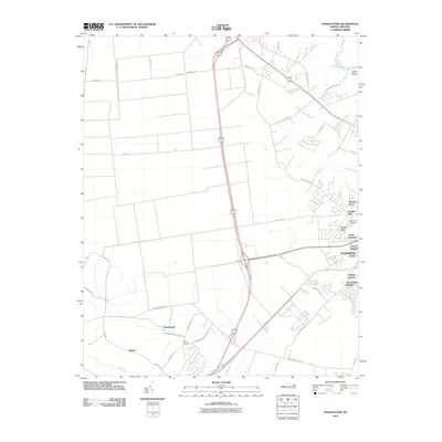
2010 Map of Pasquotank
USGS Topo · Published 2010About this map
Elizabeth City and its western outskirts are captured in this study of the coastal plain just before the 2010s. The landscape is defined by the broad curves of the Pasquotank River and the winding course of Knobbs Creek, where the transition from municipal development to rural farmland is evident. Near the river, residential neighborhoods like Hickory Acres, Forest Park, and Chesterfield Heights sit alongside the industrial presence of Lumber Mill.
Find a feature on this map
51 named features on this map. Tap any name to fly to it.
Don’t see what you’re looking for? This feature index may not catch every label — zoom into the map to look around manually.
Map Details
Editions of this 2010 Pasquotank Map
This is the sole edition of this map. No revisions or reprints were ever made.
Other maps of this area

1906 · Hertford
USGS Topo · 1:62,500

1940 · Hertford
USGS Topo · 1:62,500

1940 · Wade Point
USGS Topo · 1:62,500

1940 · South Mills
USGS Topo · 1:62,500

1943 · Wade Point
USGS Topo · 1:62,500

1948 · Wade Point
USGS Topo · 1:62,500

1948 · Elizabeth City
USGS Topo · 1:62,500

1952 · South Mills
USGS Topo · 1:62,500

1953 · Norfolk
USGS Topo · 1:250,000

1982 · Nixonton
USGS Topo · 1:24,000