Old Maps of Indian Beach, North Carolina for Genealogy
Trace your family roots with 21 historic maps of Indian Beach. These high-res maps reveal old neighborhoods, homesites, landmarks, and streets — helping you uncover where your ancestors lived and how the area evolved over time.
- Explore historic neighborhoods: Identify where your relatives may have lived in the 1800s or 1900s.
- Compare maps over time: Trace the changes in streets, buildings, and landmarks for multi-generational research.
- Perfect for genealogy & ancestry research: Used by family historians and researchers to map out lineage and migration.
These maps are an incredible resource for exploring your personal connection to Indian Beach's past.
Indian Beach, NC maps
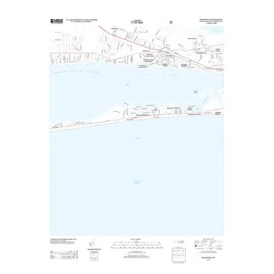
(21)- 1949 Map of Salter Path, 1983 Print
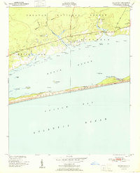
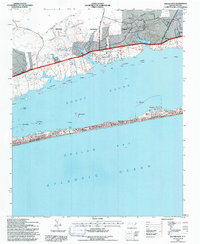
 1949 Salter Path1983 Print · USGSThe North Carolina coast comes into focus during the mid-century as traditional fishing villages and early barrier island developments began to expand. Trace family history and coastal change through Salter Path, Indian Beach, and the inland reaches of Broad Creek.
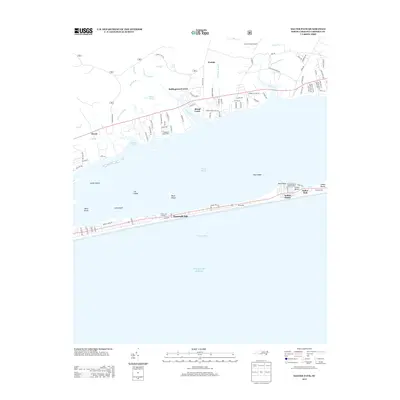
 - 1949 Map of Mansfield, 1984 Print
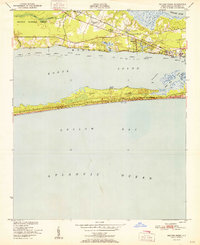
 1949 Mansfield1984 Print · USGSCoastal Carteret County comes alive in this mid-century survey as Morehead City and Mansfield grow alongside the Bogue Sound. Genealogists and historians can trace mainland landmarks like St Marks Chapel or early development on the banks at Atlantic Beach.
 - 1951 Map of Salter Path
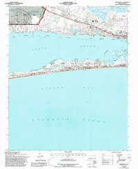
 1951 Salter Path1951 Print · USGSCoastal life in the early fifties centers on the narrow strip of Bogue Banks and the mainland woods of the Croatan National Forest. Trace the origins of Salter Path or find old landings and landmarks like Yellow Hill Landing and Nine Foot Road.2 unique versions available
 - 1951 Map of Peltier Creek
 1951 Peltier Creek1951 Print · USGSCoastal Carteret County in the early fifties reveals a landscape of maritime forests and quiet railroad hamlets before the boom of modern beach development. Trace the early footprints of Morehead City Airport and Camp Morehead, or locate family sites near Wildwood and St Marks Chapel.2 unique versions available
 - 1953 Map of Beaufort, 1965 Print
 1953 Beaufort1965 Print · USGSThe North Carolina coastline in the mid-fifties reveals an era of massive military expansion alongside traditional maritime life. Genealogists can trace family names and small settlements from Sealevel to Sneads Ferry or locate landmarks like Fort Macon.3 unique versions available
 - 1954 Map of Beaufort
 1954 Beaufort1954 Print · USGSCoastal North Carolina in the mid-fifties reveals a landscape of strategic military installations, sprawling wetlands, and thriving rail towns. Genealogists and historians can trace the foundations of Wilmington, the rural reaches of Duplin County, and shoreline landmarks like Cape Lookout and Carolina Beach.
 - 1972 Map of Beaufort, 1975 Print
 1972 Beaufort1975 Print · USGSThe North Carolina coast in the early seventies shows a landscape defined by massive military bases and coastal sounds. Trace rural family roots at Sarecta and Catherine Lake or explore the barrier islands of the Cape Lookout National Seashore.
 - 1985 Map of Morehead City
 1985 Morehead City1985 Print · USGSCoastal Carteret County in the 1980s reveals a transition from military installations and industrial hubs to protected wilderness along the Outer Banks. Researchers can trace the development of Morehead City and Beaufort or explore the remote stretches of Shackleford Banks and Harkers Island.
 - 1990 Map of Morehead City
 1990 Morehead City1990 Print · USGSCoastal Carteret County at the start of the nineties reveals a landscape balanced between military installations and expansive national seashores. Trace the shoreline from Cherry Point down to the Lighthouse at Cape Lookout and the historic streets of Beaufort.
 - 1994 Map of Mansfield, 1997 Print
 1994 Mansfield1997 Print · USGSThe North Carolina coast in the mid-1990s reveals a landscape defined by the busy Bogue Sound and the growth of its barrier islands. Researchers can trace the rail line of the Atlantic and East Carolina through Mansfield or locate landmarks like St Marks Chapel and the N C Marine Resources Center.3 unique versions available
 - 1994 Map of Salter Path, 1997 Print
 1994 Salter Path1997 Print · USGSThe North Carolina coast in the mid-1990s shows the barrier islands and mainland forests before modern development accelerated. Genealogists and historians can trace the community layouts of Salter Path and Emerald Isle or locate the Cem markers and landings like Yellow Hill Landing.2 unique versions available
 - 2011 Map of Mansfield, 2011 Print
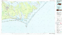
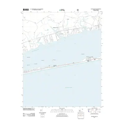
 2011 Mansfield2011 Print · USGSCovers Indian Beach, including Morehead City, Atlantic Beach, and other nearby areas
 - 2011 Map of Salter Path, 2011 Print
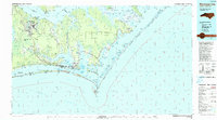
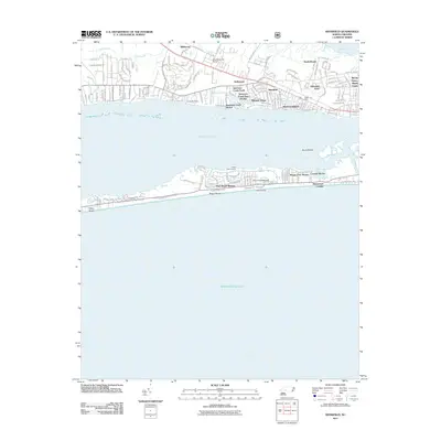
 2011 Salter Path2011 Print · USGSCovers Indian Beach, including Newport, Emerald Isle, and other nearby areas
 - 2013 Map of Mansfield, 2013 Print
 2013 Mansfield2013 Print · USGSCovers Indian Beach, including Morehead City, Atlantic Beach, and other nearby areas
 - 2013 Map of Salter Path, 2013 Print
 2013 Salter Path2013 Print · USGSCovers Indian Beach, including Newport, Emerald Isle, and other nearby areas
 - 2016 Map of Mansfield, 2016 Print
 2016 Mansfield2016 Print · USGSCovers Indian Beach, including Morehead City, Atlantic Beach, and other nearby areas
 - 2016 Map of Salter Path, 2016 Print
 2016 Salter Path2016 Print · USGSCovers Indian Beach, including Newport, Emerald Isle, and other nearby areas
 - 2019 Map of Salter Path, 2019 Print
 2019 Salter Path2019 Print · USGSCovers Indian Beach, including Newport, Emerald Isle, and other nearby areas
 - 2019 Map of Mansfield, 2019 Print
 2019 Mansfield2019 Print · USGSCovers Indian Beach, including Morehead City, Atlantic Beach, and other nearby areas
 - 2022 Map of Mansfield, 2022 Print
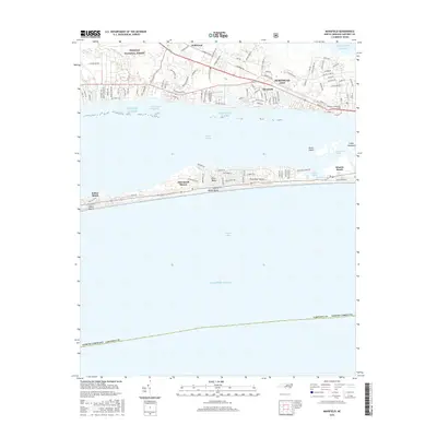
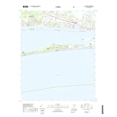
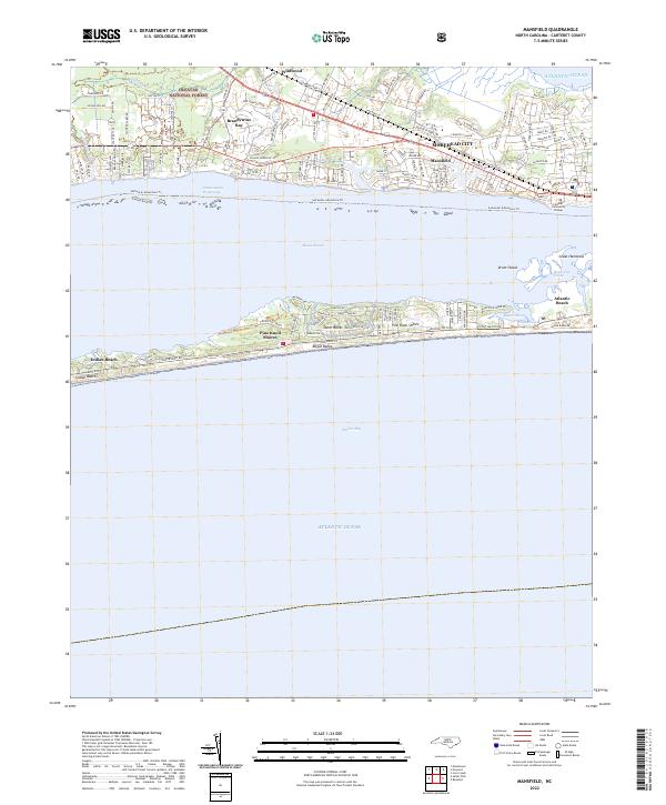 2022 Mansfield2022 Print · USGSThe North Carolina coast at the dawn of the 2020s shows a sophisticated network of shorefront communities and protected maritime forests. Genealogists and historians can trace the growth of Morehead City and Mansfield or locate family roots in Brandywine Bay and Wildwood.
 - 2022 Map of Salter Path, 2022 Print
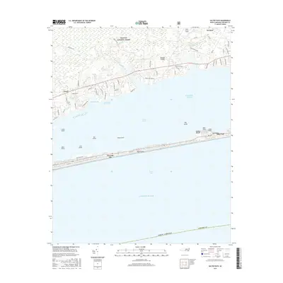
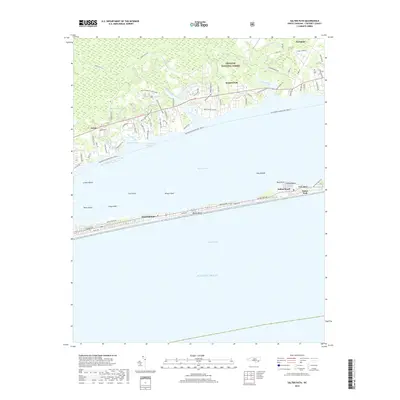
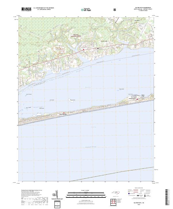 2022 Salter Path2022 Print · USGSThe barrier islands of Carteret County are shown here in the early 2020s, highlighting the proximity of the sound and the sea. Trace the shoreline from Emerald Isle to Salter Path or explore the mainland reaches of the Croatan National Forest.
End of results
Showing maps 1-21 of 21
Top cities near Indian Beach
- Havelock historical maps
- Morehead City historical maps
- Newport historical maps
- Emerald Isle historical maps
- Swansboro historical maps
- Cape Carteret historical maps
See more
Frequently asked questions
- What are the different types of historical maps available for Indian Beach?
- What is the oldest map of Indian Beach?
- Where can I purchase historical maps of Indian Beach for my home or office?
- Where can I download high-res historical maps of Indian Beach?
- Are there historical topographic maps available for Indian Beach?
- Is there historical aerial imagery available for Indian Beach?
- Where are historical maps of Indian Beach sourced from?