2022 Map of Mansfield
USGS Topo · Published 2022About this map
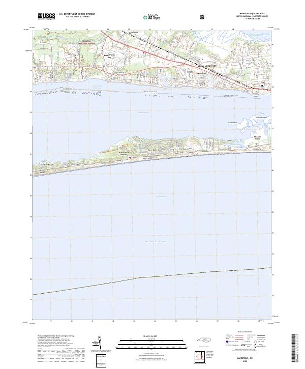
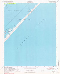
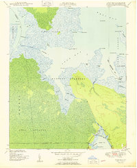
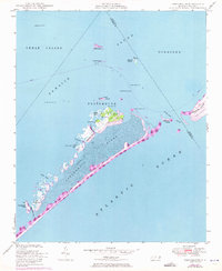
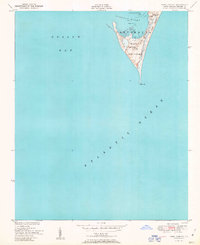
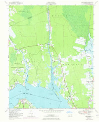
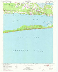
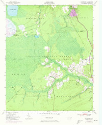
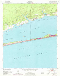
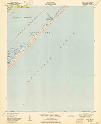
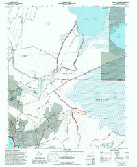
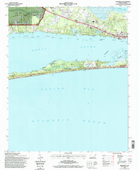
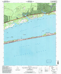
Bogue Sound serves as the central geographic divide in this coastal survey, separating the mainland settlements of Morehead City and Brandywine Bay from the developed barrier island of Bogue Banks. The northern mainland shows a transition from the dense urban grid of Morehead City near Mansfield to the timbered outskirts of the Croatan National Forest and the community of Wildwood. This modern mapping captures a highly navigable maritime landscape, featuring the Intracostal Waterway and various estuaries like Spooner Cr and Hull Swamp. Along the oceanfront, the communities of Atlantic Beach, Pine Knoll Shores, and Indian Beach occupy the narrow strip of land between the sound and the Atlantic Ocean. The placement of Carteret Community College on the mainland shore highlights the area's role as a regional educational and cultural hub in Carteret County.
Find a feature on this map
122 named features on this map. Tap any name to fly to it.
Don’t see what you’re looking for? This feature index may not catch every label — zoom into the map to look around manually.
Map Details
Editions of this 2022 Mansfield Map
This is the sole edition of this map. No revisions or reprints were ever made.
Historical Maps of Indian Beach Through Time
47 maps found

1948 North Bay
Carteret County, NC
1948 Portsmouth
Carteret County, NC

1949 Core Creek
Carteret County, NC
1949 Long Bay
Carteret County, NC

1949 Mansfield
Carteret County, NC

1949 Masontown
Carteret County, NC
1949 Point Of Marsh
Carteret County, NC

1949 Salter Path
Carteret County, NC

1949 South River
Carteret County, NC
1949 Styron Bay
Carteret County, NC

1949 Williston
Carteret County, NC

1950 Horsepen Point
Carteret County, NC
1950 Long Bay
Carteret County, NC

1950 North Bay
Carteret County, NC

1950 Point Of Marsh
Carteret County, NC
1950 Portsmouth
Carteret County, NC

1950 South River
Carteret County, NC
1951 Cape Lookout
Carteret County, NC
1951 Core Creek
Carteret County, NC
1951 Mansfield
Carteret County, NC
1951 Masontown
Carteret County, NC
1951 Salter Path
Carteret County, NC
1951 Styron Bay
Carteret County, NC

1951 Williston
Carteret County, NC

1984 Hadnot Creek
Carteret County, NC

1994 Core Creek
Carteret County, NC
1994 Hadnot Creek
Carteret County, NC
1994 Mansfield
Carteret County, NC

1994 Masontown
Carteret County, NC
1994 Salter Path
Carteret County, NC
2002 North Bay
Carteret County, NC
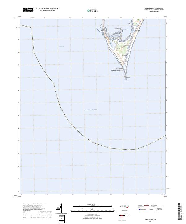
2022 Cape Lookout
Carteret County, NC
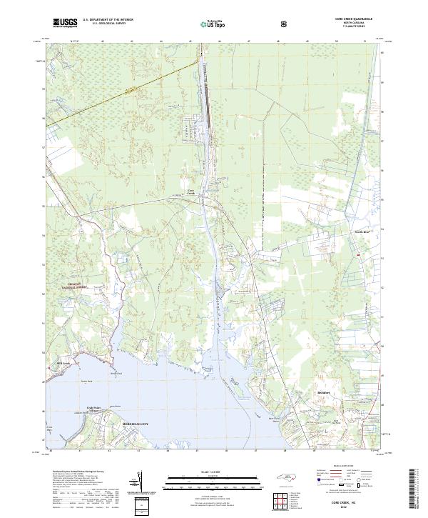
2022 Core Creek
Carteret County, NC

2022 Hadnot Creek
Carteret County, NC
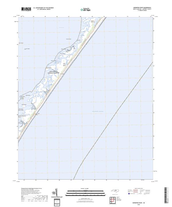
2022 Horsepen Point
Carteret County, NC
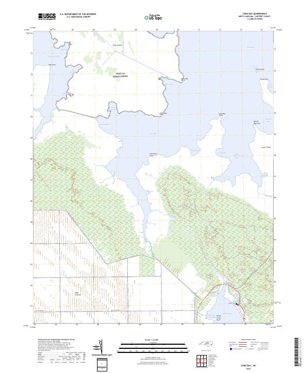
2022 Long Bay
Carteret County, NC
2022 Mansfield
Carteret County, NC
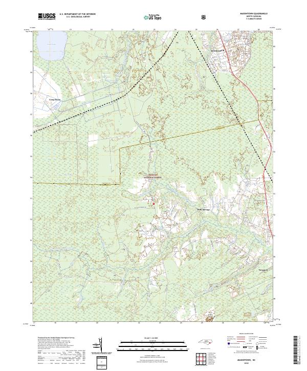
2022 Masontown
Carteret County, NC
2022 North Bay
Carteret County, NC
2022 Point of Marsh
Carteret County, NC
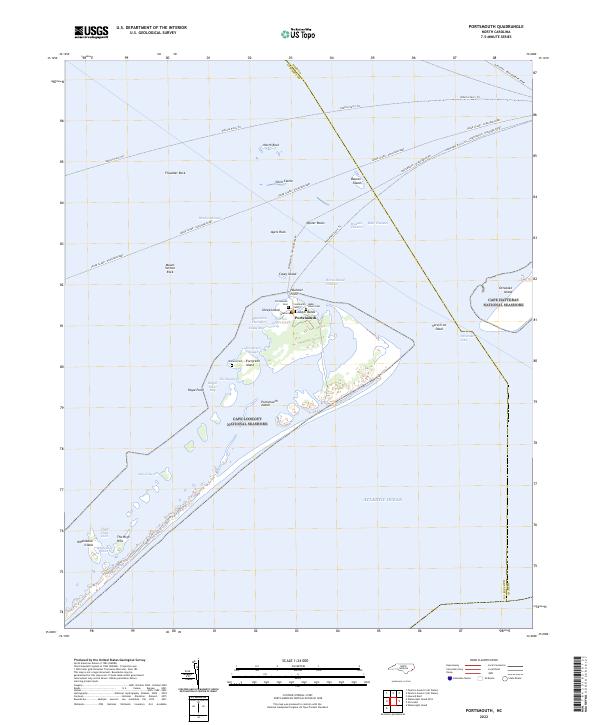
2022 Portsmouth
Carteret County, NC
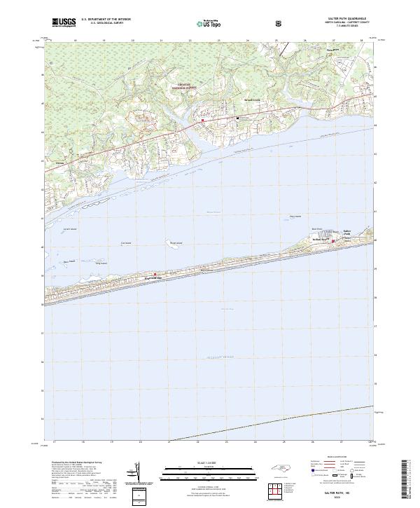
2022 Salter Path
Carteret County, NC
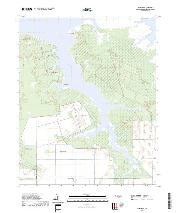
2022 South River
Carteret County, NC
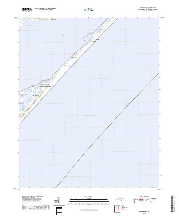
2022 Styron Bay
Carteret County, NC
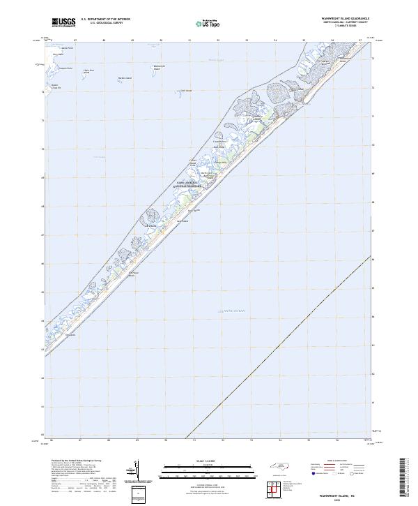
2022 Wainwright Island
Carteret County, NC
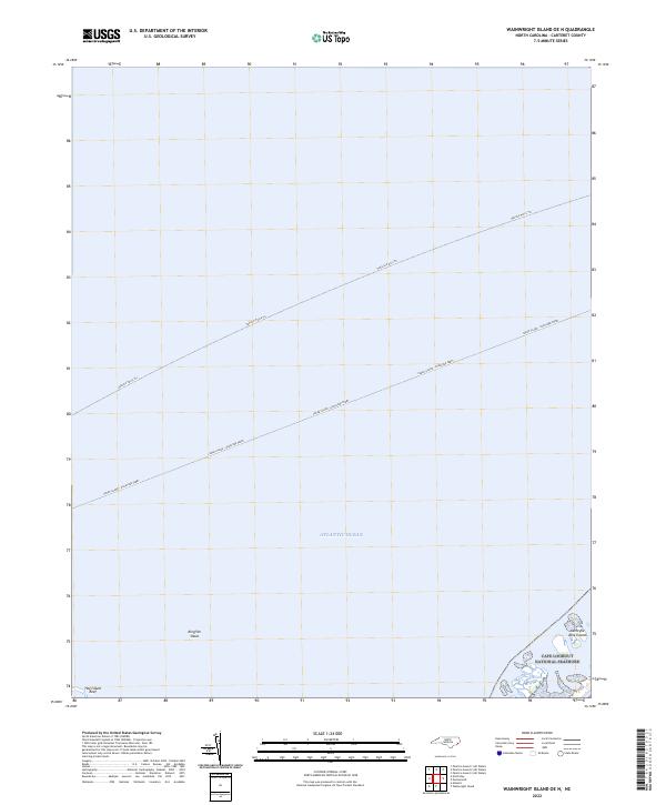
2022 Wainwright Island OE N
Carteret County, NC
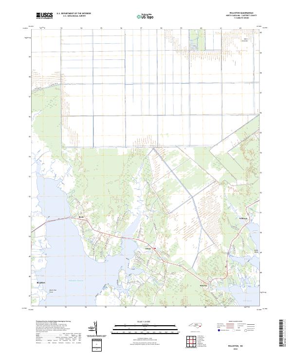
2022 Williston
Carteret County, NC