2000s (21st Century) Maps of Hickory, North Carolina
Explore 30 historic maps of Hickory from the 2000s (21st Century). These maps offer a rare glimpse into what life looked like during the 2000s — showing old roads, neighborhoods, homes, and landmarks that have changed or disappeared over time.
Whether you're researching your family's past, planning a metal detecting trip, or studying how Hickory's landscape evolved across the 2000s, these high-resolution maps are a powerful tool for exploring the history of this region.
- Focus on a specific era: All maps on this page are from the 2000s, giving you a focused view of this time period.
- See what’s changed: Compare century-old streets, trails, and buildings to today's modern landscape using overlays and satellite layers.
- Research with precision: Use these maps for genealogy, historical research, land use analysis, or educational projects.
- View, download, or print: Maps are fully viewable online in high resolution, and can be downloaded or printed for your own records.
Start exploring Hickory's history through authentic maps from the 2000s. This is your window into the past.
Hickory, NC maps
(30)- 2010 Map of Bethlehem, 2010 Print
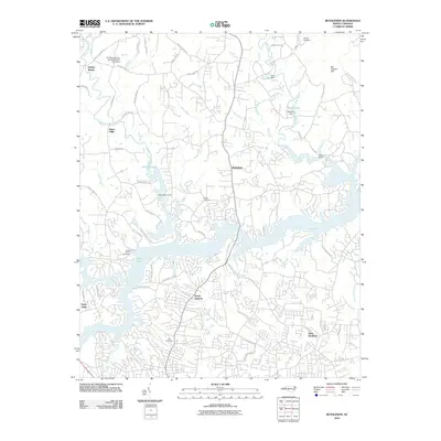 2010 Bethlehem2010 Print · USGSHickory and its northern suburbs are shown at the start of the millennium as residential growth expands toward the Upper Little River. Genealogists can trace family landmarks at Bentley Cemetery, Pisgah Cemetery, and the historic settlement area of Bethlehem.
 - 2010 Map of Newton, 2010 Print
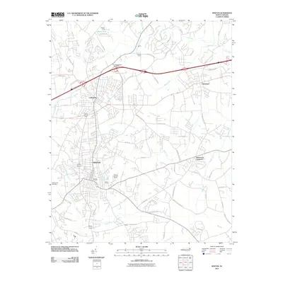 2010 Newton2010 Print · USGSCatawba County at the start of the 2010s shows a bustling corridor of urban growth between Newton and Conover. Genealogists and local historians can trace family plots at Eastview Cemetery or explore landmarks like Witherspoon Crossroad and Oxford Dam.
 - 2010 Map of Millersville, 2010 Print
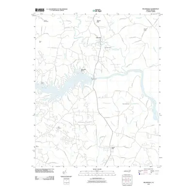 2010 Millersville2010 Print · USGSThe Catawba River valley in the early twenty-first century is defined by its massive dam projects and riverside communities. Genealogists and local historians can trace family landmarks and public spaces like Saint Lukes Cemetery, Isenhour Park, and the settlement of Millersville.
 - 2010 Map of Granite Falls, 2010 Print
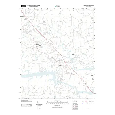 2010 Granite Falls2010 Print · USGSCaldwell County's industrial and residential corridors are shown here during a period of modern development along the banks of Rhodhiss Lake. Researchers can trace local heritage through sites like Sunset Hill Cemetery, the Caldwell County Fairgrounds, and the historic Rhodhiss Dam.
 - 2010 Map of Longview, 2010 Print
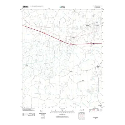 2010 Longview2010 Print · USGSThe foothills of North Carolina are seen here as suburban growth met rural heritage in the early twenty-first century. Researchers can trace family sites near Burke Chapel or locate industrial landmarks like the Henry River Dam and Miller Bridge.
 - 2010 Map of Hickory, 2010 Print
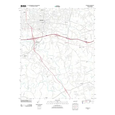 2010 Hickory2010 Print · USGSCatawba County in the early twenty-first century reveals a landscape shaped by industrial heritage and suburban expansion. Genealogists and historians can trace family locations near Oakwood Cemetery, Brookford, and the Shuford Mills Dam.
 - 2013 Map of Longview, 2013 Print
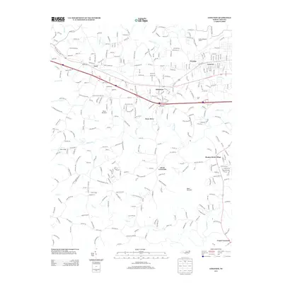 2013 Longview2013 Print · USGSThe Catawba Valley suburbs and the foothills of the Blue Ridge come into focus in this early twenty-first-century survey. Genealogists and local historians can trace the growth of Icard, Hildebran, and Longview, alongside rural landmarks like Burke Chapel and Baker Mountain.
 - 2013 Map of Millersville, 2013 Print
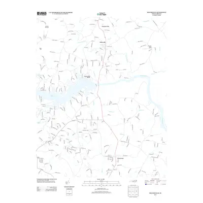 2013 Millersville2013 Print · USGSThe Catawba River valley north of Hickory shows a landscape of growing lakeside communities and rural ridges in the early twenty-first century. Researchers can trace family-named roads and landmarks like Millersville, the Alexander County Airport, and Barrett Mountain.
 - 2013 Map of Newton, 2013 Print
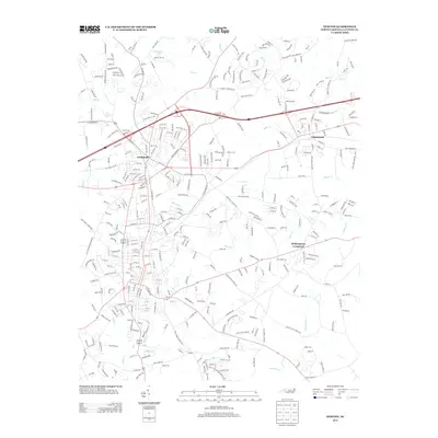 2013 Newton2013 Print · USGSCatawba County underwent significant suburban integration in the early 2000s as the corridor between Conover and Claremont matured. Local historians can trace family land via J A Yount Farm Rd or explore the drainage basins of McLin Creek and Bills Branch.
 - 2013 Map of Hickory, 2013 Print
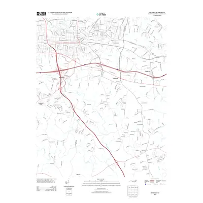 2013 Hickory2013 Print · USGSHickory and its surrounding Catawba County communities are shown here in the early twenty-first century as the region’s suburban and industrial landscapes expanded. Genealogists and local historians can trace family landmarks and neighborhood growth near the Hickory Speedway, Zion Church, and the settlement of Brookford.
 - 2013 Map of Granite Falls, 2013 Print
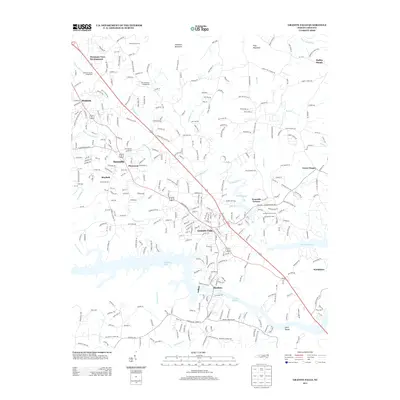 2013 Granite Falls2013 Print · USGSGranite Falls and the Catawba River shoreline appear in this detailed 2013 survey of the Piedmont. Genealogists can locate family landmarks at the Sawmills School and several community churches like Ebenezer Church and Oak Grove Church.
 - 2013 Map of Bethlehem, 2013 Print
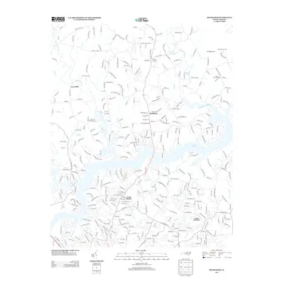 2013 Bethlehem2013 Print · USGSThe northern reaches of the Hickory area are captured here in the early twenty-first century as suburban neighborhoods meet the waters of Lake Hickory. Genealogists and local historians can trace family-named sites like Sal Teague Hill, Petra Mills, and Advent Church.
 - 2016 Map of Millersville, 2016 Print
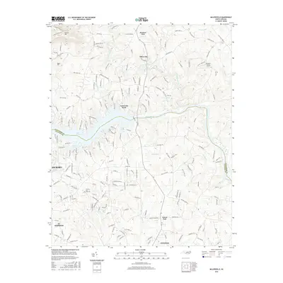 2016 Millersville2016 Print · USGSThe Catawba River valley north of Hickory shows its modern character in the 2010s, defined by the waters of Lake Hickory. Genealogists and researchers can trace rural development around Millersville, find Saint Lukes Cem, and locate the Alexander County Airport.
 - 2016 Map of Newton, 2016 Print
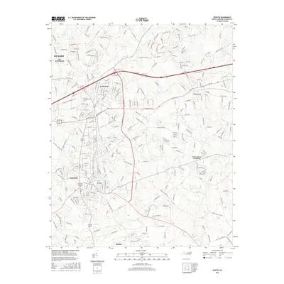 2016 Newton2016 Print · USGSCatawba County's industrial and residential corridors are clearly defined in this mid-2010s survey of the Piedmont. Researchers can trace local history through features like Eastview Cem School and the streets of Newton, Conover, and Maiden.
 - 2016 Map of Bethlehem, 2016 Print
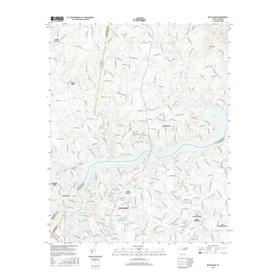 2016 Bethlehem2016 Print · USGSNorth Carolina's foothills meet the sprawling waters of Lake Hickory in this mid-2010s survey of the northern Catawba Valley. Local historians can trace established communities like Bethlehem and Petra Mills or locate family plots at Bentley Cemetery and Pisgah Cemetery.
 - 2016 Map of Granite Falls, 2016 Print
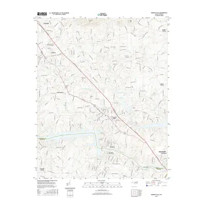 2016 Granite Falls2016 Print · USGSThe Catawba River corridor between Caldwell and Burke counties is shown in the mid-2010s, centered on the growing community of Granite Falls. Researchers can trace local genealogy and land use through landmarks like Liberty Church, Pinecrest Cem, and the expansive waters of Rhodhiss Lake.
 - 2016 Map of Longview, 2016 Print
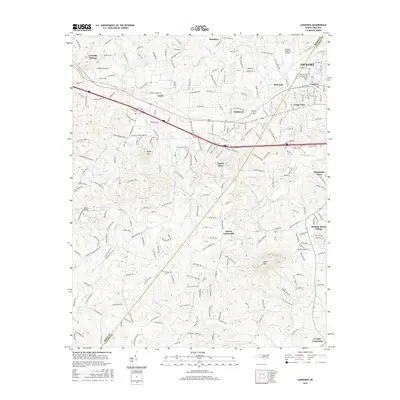 2016 Longview2016 Print · USGSThe Hickory and Longview area in the 2010s shows a complex network of suburban growth and rural river valleys. Researchers can trace the Southern rail line, locate family sites near Advent Crossroads, or find old schoolhouses like Icard School.
 - 2016 Map of Hickory, 2016 Print
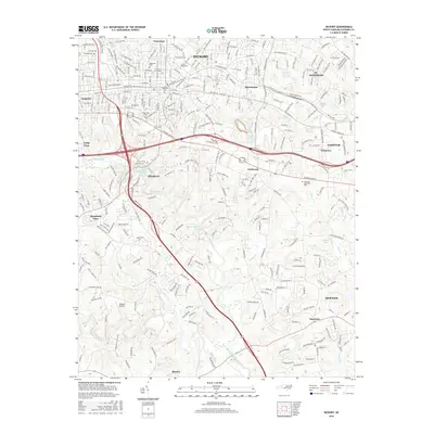 2016 Hickory2016 Print · USGSCatawba County's urban and industrial corridor is captured here during a period of modern growth. Genealogists and local historians can trace legacy sites like Oakwood Cem, the Lenoir Rhyne Univ campus, and the historic Zion Church near the river forks.
 - 2019 Map of Granite Falls, 2019 Print
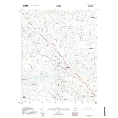 2019 Granite Falls2019 Print · USGSThe Catawba River valley communities of North Carolina appear here during a period of modern growth and suburban development. Genealogists and historians can trace local family roots through sites like Liberty Church Cem, Sunset Hill Cem, and the historic street layouts of Granite Falls.
 - 2019 Map of Millersville, 2019 Print
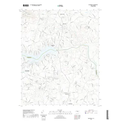 2019 Millersville2019 Print · USGSThe Catawba River valley in 2019 reveals the interface of growing suburban communities and the rugged geography of the Piedmont. Researchers can trace family sites near Saint Lukes Cem or explore the development around Lake Hickory and Millersville.
 - 2019 Map of Bethlehem, 2019 Print
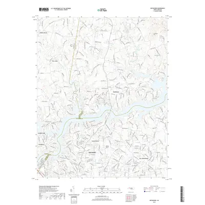 2019 Bethlehem2019 Print · USGSHickory and its northern neighbors are captured here in the late twenty-tens as suburban growth meets the Piedmont hills. Researchers can trace local lineage through Pisgah Cemetery and Bentley Cemetery or locate family landmarks near Lake Hickory.
 - 2019 Map of Hickory, 2019 Print
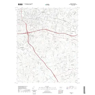 2019 Hickory2019 Print · USGSHickory and its surrounding Catawba County communities are shown here at the close of the 2010s, illustrating decades of suburban growth. Genealogists can locate family sites near Old Robinson Cem or trace the early settlement boundaries of Brookford and Startown.
 - 2019 Map of Longview, 2019 Print
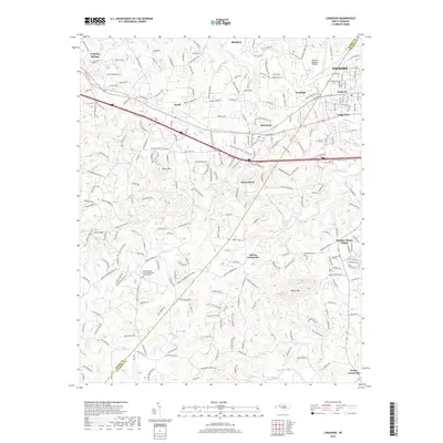 2019 Longview2019 Print · USGSAcross the Burke and Catawba county line in the late twenty-teens, this survey documents the industrial corridor between Hickory and Connelly Springs. Genealogists can locate family sites like Burke Chapel Cemetery and the settlement at Propst Crossroads.
 - 2019 Map of Newton, 2019 Print
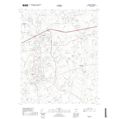 2019 Newton2019 Print · USGSCatawba County's industrial and residential corridors are on display here in the late twenty-tens, as the region between Hickory and Claremont continues to expand. Researchers can locate local landmarks like Eastview Cem and Witherspoon Crossroads while tracing the winding paths of Mull Cr and Lyle Cr.
 - 2022 Map of Millersville, 2022 Print
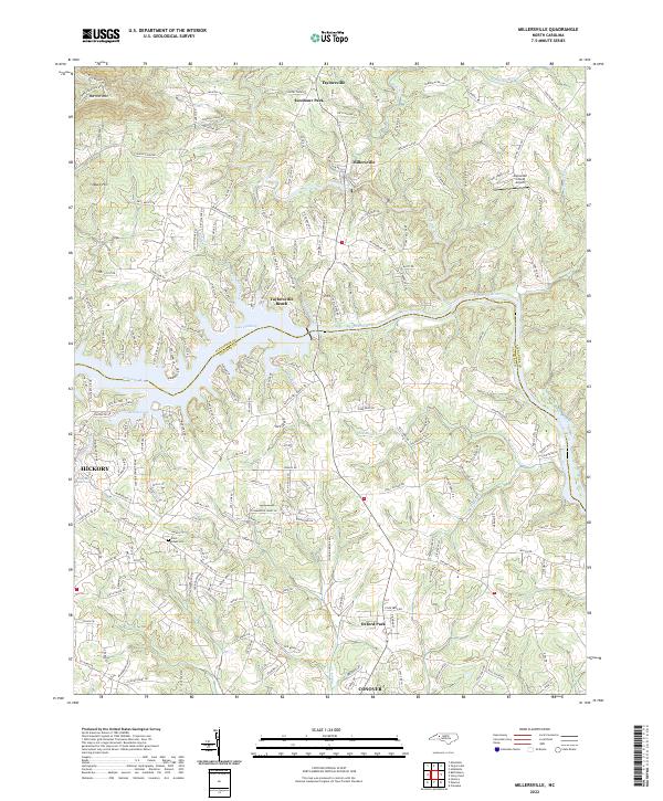 2022 Millersville2022 Print · USGSThe Catawba River valley comes alive in this contemporary study of the Alexander and Catawba county line during its recent period of growth. Researchers can trace family-named rural routes and locate landmarks like Saint Lukes Cem, Alexander County Airport, and Taylorsville Beach.
Showing maps 1-25 of 30
Top cities near Hickory
- Lenoir historical maps
- Newton historical maps
- Lincolnton historical maps
- Conover historical maps
- Sawmills historical maps
- Long View historical maps
See more
Top neighborhoods of Hickory
- Northlakes historical maps
- Union Square historical maps
- Lawson's Creek historical maps
- Needlestone Townhomes historical maps
- Ridgeview historical maps
- Fairbrook historical maps
See more
Frequently asked questions
- What are the different types of historical maps available for Hickory?
- What is the oldest map of Hickory?
- Where can I purchase historical maps of Hickory for my home or office?
- Where can I download high-res historical maps of Hickory?
- Are there historical topographic maps available for Hickory?
- Is there historical aerial imagery available for Hickory?
- Where are historical maps of Hickory sourced from?