2000s (21st Century) Maps of Cherokee County, North Carolina
Explore 106 historic maps of Cherokee County from the 2000s (21st Century). These maps offer a rare glimpse into what life looked like during the 2000s — showing old roads, neighborhoods, homes, and landmarks that have changed or disappeared over time.
Whether you're researching your family's past, planning a metal detecting trip, or studying how Cherokee County's landscape evolved across the 2000s, these high-resolution maps are a powerful tool for exploring the history of this region.
- Focus on a specific era: All maps on this page are from the 2000s, giving you a focused view of this time period.
- See what’s changed: Compare century-old streets, trails, and buildings to today's modern landscape using overlays and satellite layers.
- Research with precision: Use these maps for genealogy, historical research, land use analysis, or educational projects.
- View, download, or print: Maps are fully viewable online in high resolution, and can be downloaded or printed for your own records.
Start exploring Cherokee County's history through authentic maps from the 2000s. This is your window into the past.
Cherokee County, NC maps
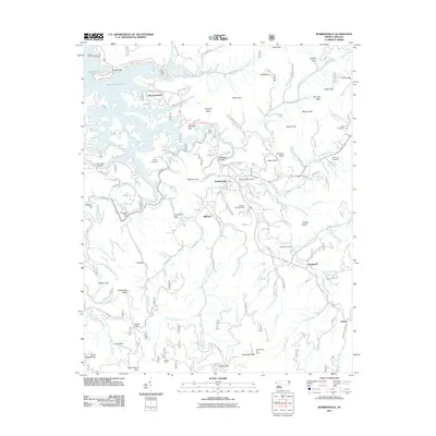
(106)- 2000 Map of Hewitt, 2001 Print
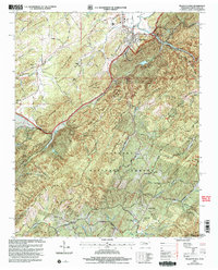
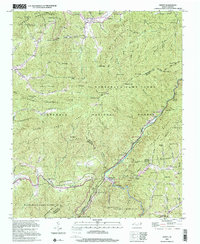 2000 Hewitt2001 Print · USGSThe high ridges of Graham and Swain counties are captured here at the turn of the millennium, showing a landscape of deep gaps and forest settlements. Genealogists and hikers can trace the Appalachian National Scenic Trail or locate remote sites like Rowlin Sch and Jenkins Cem.
 - 2000 Map of Robbinsville, 2001 Print
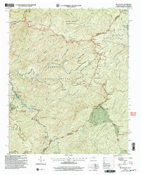
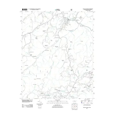
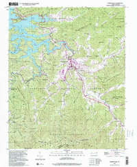 2000 Robbinsville2001 Print · USGSRobbinsville and the surrounding Graham County mountain valleys are shown here at the turn of the millennium. Genealogists can locate several family burial grounds like Massey Cem and Rice Cem, or trace the cultural site of the Zion Hill Ch Snowbird Cherokee Indian Sch.
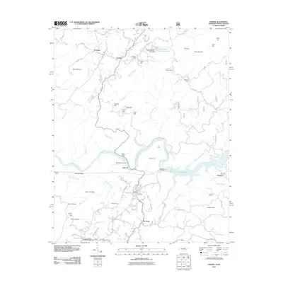
 - 2003 Map of Farner, 2004 Print
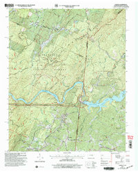 2003 Farner2004 Print · USGSThe Tennessee and North Carolina borderlands come into focus at the dawn of the new millennium, showcasing the interaction of the river and the national forests. Researchers can trace family history through sites like River Hill Cem, Cataska Ch, and the settlement of Ironsburg.
 - 2003 Map of Bald River Falls, 2004 Print
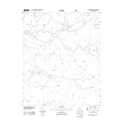
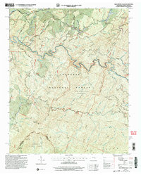 2003 Bald River Falls2004 Print · USGSThe high ridges of the Tennessee and North Carolina state line are captured here as they appeared in the early 2000s. Genealogists and hikers can trace remote landmarks like Miller Chapel Cem, the winding Tellico River, and the historic Warriors Passage.
 - 2003 Map of Tellico Plains, 2004 Print
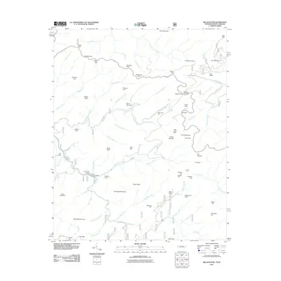
 2003 Tellico Plains2004 Print · USGSMonroe County was transitioning into the new millennium as this survey documented the valleys and ridges surrounding Tellico Plains. Researchers can trace family roots through landmarks like Conasauga Mill, the Holder Cem, and rural congregations at Unicoi Ch.
 - 2003 Map of Big Junction, 2004 Print
 2003 Big Junction2004 Print · USGSHigh mountain ridges along the Tennessee and North Carolina border are documented here at the start of the new millennium. Researchers can trace the path of the Cherohala Skyway as it passes Green Cove Cem, the Donley Cabin, and various Ruins.
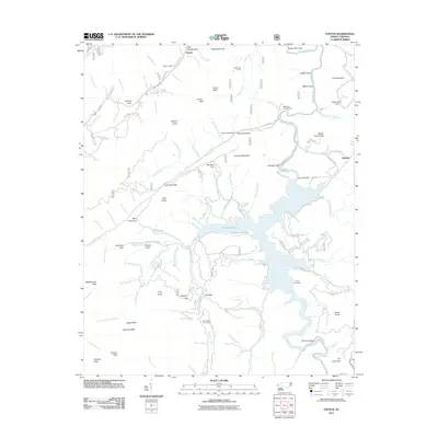
 - 2011 Map of Nottely Dam, 2011 Print
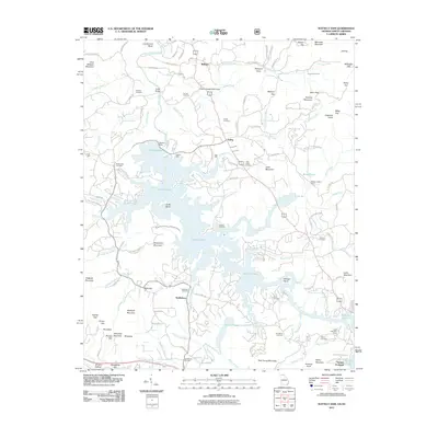 2011 Nottely Dam2011 Print · USGSCovers Cherokee County, including Ivylog, Notalee Orchards, and other nearby areas
 - 2011 Map of Culberson, 2011 Print
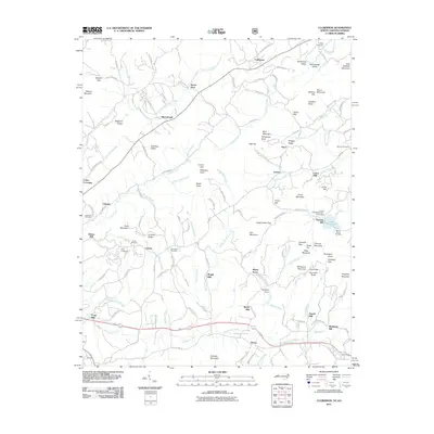 2011 Culberson2011 Print · USGSCovers Cherokee County, including Morganton, Lewner, and other nearby areas
 - 2011 Map of Blairsville, 2011 Print
 2011 Blairsville2011 Print · USGSCovers Cherokee County, including Blairsville, Gumlog, and other nearby areas
 - 2011 Map of Mineral Bluff, 2011 Print
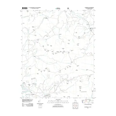
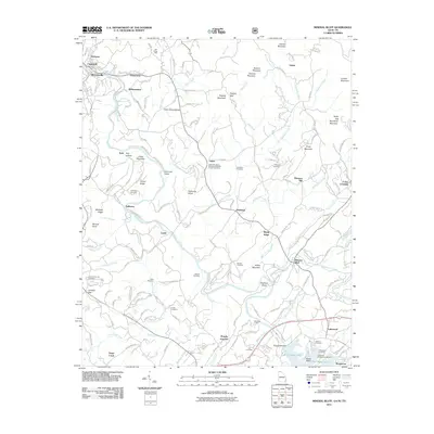 2011 Mineral Bluff2011 Print · USGSCovers Cherokee County, including McCaysville, Blue Ridge, and other nearby areas
 - 2011 Map of Unaka, 2011 Print
 2011 Unaka2011 Print · USGSCovers Cherokee County, including Pleasant Hill, Violet, and other nearby areas
 - 2011 Map of Persimmon Creek, 2011 Print
 2011 Persimmon Creek2011 Print · USGSCovers Cherokee County, including Postell, Hothouse, and other nearby areas
 - 2011 Map of Tellico Plains, 2011 Print
 2011 Tellico Plains2011 Print · USGSCovers Cherokee County, including Tellico Plains, Tellico Beach, and other nearby areas
 - 2011 Map of Marble, 2011 Print
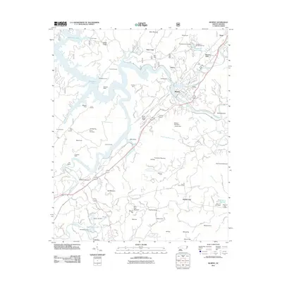
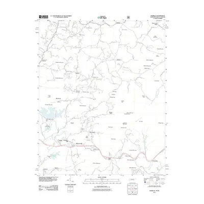
 2011 Marble2011 Print · USGSCovers Cherokee County, including Sales Ford, Marble, and other nearby areas
 - 2011 Map of Andrews, 2011 Print
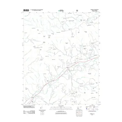
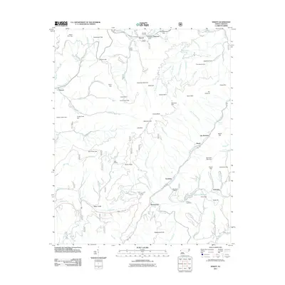
 2011 Andrews2011 Print · USGSCovers Cherokee County, including Andrews, Valleytown, and other nearby areas
 - 2011 Map of Hayesville, 2011 Print
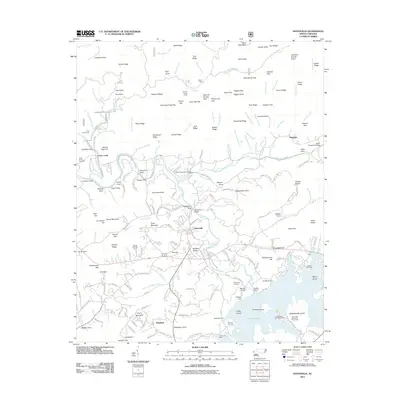 2011 Hayesville2011 Print · USGSCovers Cherokee County, including Hayesville, Fires Creek, and other nearby areas
 - 2011 Map of Murphy, 2011 Print
 2011 Murphy2011 Print · USGSCovers Cherokee County, including Murphy, Grape Creek, and other nearby areas
 - 2011 Map of Hewitt, 2011 Print
 2011 Hewitt2011 Print · USGSCovers Cherokee County, including Stecoah, Cheoah, and other nearby areas
 - 2011 Map of Peachtree, 2011 Print
 2011 Peachtree2011 Print · USGSCovers Cherokee County, including Peachtree, Jones Mill, and other nearby areas
 - 2011 Map of Topton, 2011 Print
 2011 Topton2011 Print · USGSCovers Cherokee County, including Aquone, Topton, and other nearby areas
 - 2011 Map of Robbinsville, 2011 Print
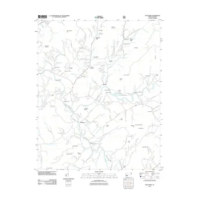
 2011 Robbinsville2011 Print · USGSCovers Cherokee County, including Robbinsville, Lake Santeetlah, and other nearby areas
 - 2011 Map of Farner, 2011 Print
 2011 Farner2011 Print · USGSCovers Cherokee County, including Hiwassee, Farner, and other nearby areas
 - 2011 Map of Big Junction, 2011 Print
 2011 Big Junction2011 Print · USGSCovers Cherokee County, including Monroe County, Graham County, and other nearby areas
 - 2011 Map of Bald River Falls, 2011 Print
 2011 Bald River Falls2011 Print · USGSCovers Cherokee County, including Waucheesi, Monroe County, and other nearby areas
 - 2011 Map of Isabella, 2011 Print
 2011 Isabella2011 Print · USGSCovers Cherokee County, including Ducktown, Fields of the Wood, and other nearby areas
Showing maps 1-25 of 106
Top cities of Cherokee County
Frequently asked questions
- What are the different types of historical maps available for Cherokee County?
- What is the oldest map of Cherokee County?
- Where can I purchase historical maps of Cherokee County for my home or office?
- Where can I download high-res historical maps of Cherokee County?
- Are there historical topographic maps available for Cherokee County?
- Is there historical aerial imagery available for Cherokee County?
- Where are historical maps of Cherokee County sourced from?