2020s Maps of Cherokee County, North Carolina
Explore 23 historic maps of Cherokee County from the 2020s. These maps offer a rare glimpse into what life looked like during the 2020s — showing old roads, neighborhoods, homes, and landmarks that have changed or disappeared over time.
Whether you're researching your family's past, planning a metal detecting trip, or studying how Cherokee County's landscape evolved across the 2020s, these high-resolution maps are a powerful tool for exploring the history of this region.
- Focus on a specific era: All maps on this page are from the 2020s, giving you a focused view of this time period.
- See what’s changed: Compare century-old streets, trails, and buildings to today's modern landscape using overlays and satellite layers.
- Research with precision: Use these maps for genealogy, historical research, land use analysis, or educational projects.
- View, download, or print: Maps are fully viewable online in high resolution, and can be downloaded or printed for your own records.
Start exploring Cherokee County's history through authentic maps from the 2020s. This is your window into the past.
Cherokee County, NC maps
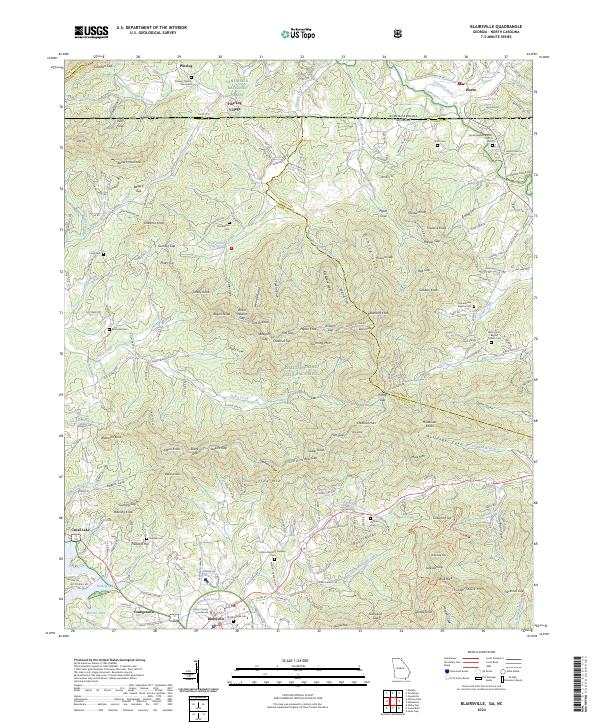
(23)- 2020 Map of Blairsville, 2020 Print
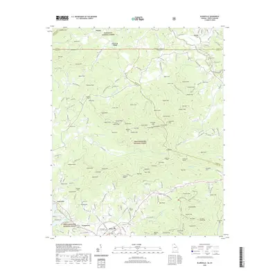 2020 Blairsville2020 Print · USGSCovers Cherokee County, including Blairsville, Gumlog, and other nearby areas
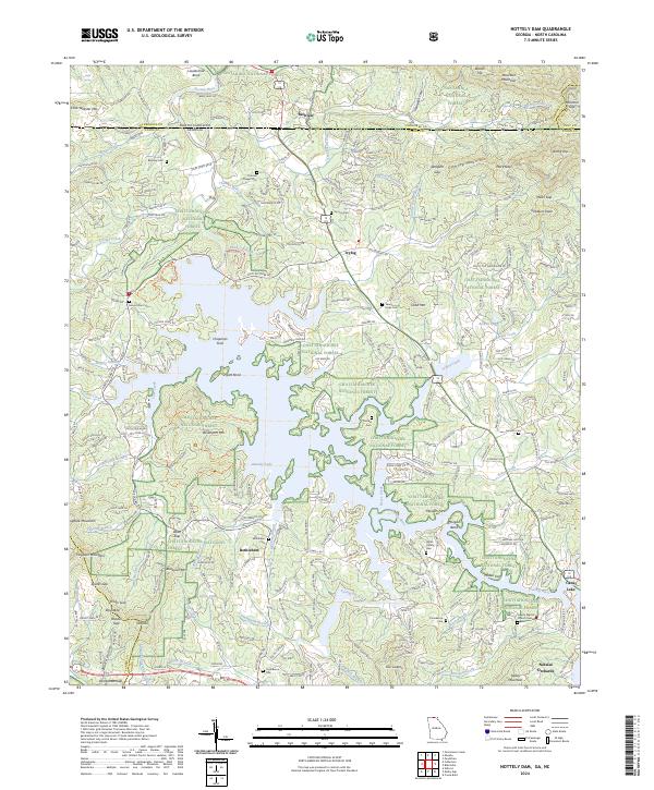
 - 2020 Map of Nottely Dam, 2020 Print
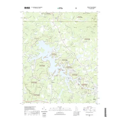 2020 Nottely Dam2020 Print · USGSCovers Cherokee County, including Ivylog, Notalee Orchards, and other nearby areas
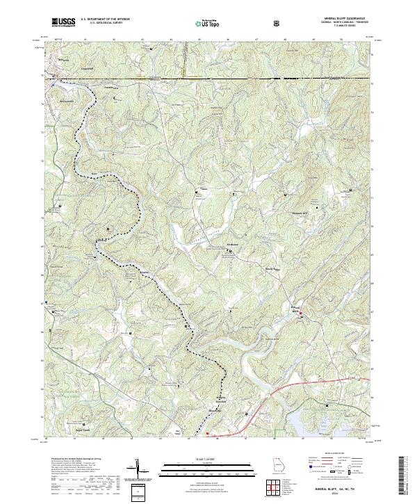
 - 2020 Map of Mineral Bluff, 2020 Print
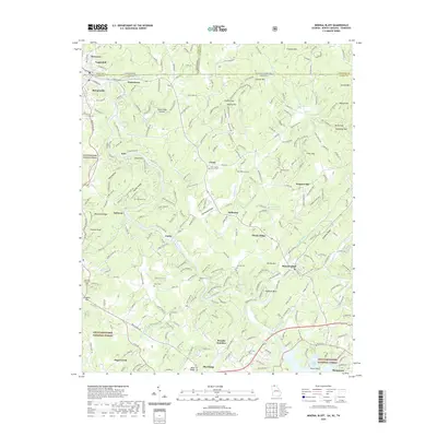 2020 Mineral Bluff2020 Print · USGSCovers Cherokee County, including McCaysville, Blue Ridge, and other nearby areas
 - 2022 Map of Culberson, 2022 Print
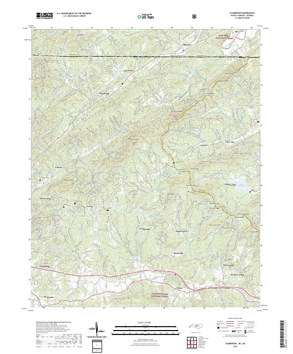 2022 Culberson2022 Print · USGSThe North Carolina and Georgia borderlands come alive in this survey of the Blue Ridge mountain valleys. Researchers can trace historic family-named sites like Wright Mill, Jerusalem Cem, and the settlement of Sweet Gum along the waters of the Nottely River.
 - 2022 Map of McDaniel Bald, 2022 Print
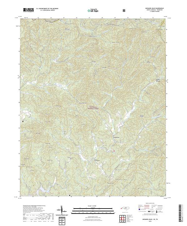 2022 McDaniel Bald2022 Print · USGSThe Unicoi and Snowbird Mountains meet in this high-country survey of the North Carolina borderlands. Researchers can locate remote mountain cemeteries like Bryson Cemetery and trace the paths of Hanging Dog Creek and the Tellico River.
 - 2022 Map of Peachtree, 2022 Print
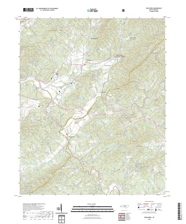 2022 Peachtree2022 Print · USGSPeachtree and Brasstown appear at a modern crossroad of river and mountain life in the southern Appalachians. Local historians can trace family names and community landmarks from Peachtree Ch to Tri-County Community College, alongside historic sites like Arrwood Mill.
 - 2022 Map of Hewitt, 2022 Print
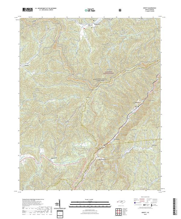 2022 Hewitt2022 Print · USGSGraham County's mountain passes and river gorges are captured here in the early 2020s, showing the high-altitude route of the Appalachian National Scenic Trail. Researchers can trace the path of the Tululah Railroad and locate family names at Randolph Cem or Jenkins Cem.
 - 2022 Map of Persimmon Creek, 2022 Print
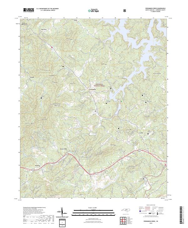 2022 Persimmon Creek2022 Print · USGSWestern North Carolina's high country is documented here during a period of modern residential expansion within its traditional forest boundaries. Genealogists can locate family landmarks like Walker Plantation Cem, Suit Cem, and the community of Friendship.
 - 2022 Map of Unaka, 2022 Print
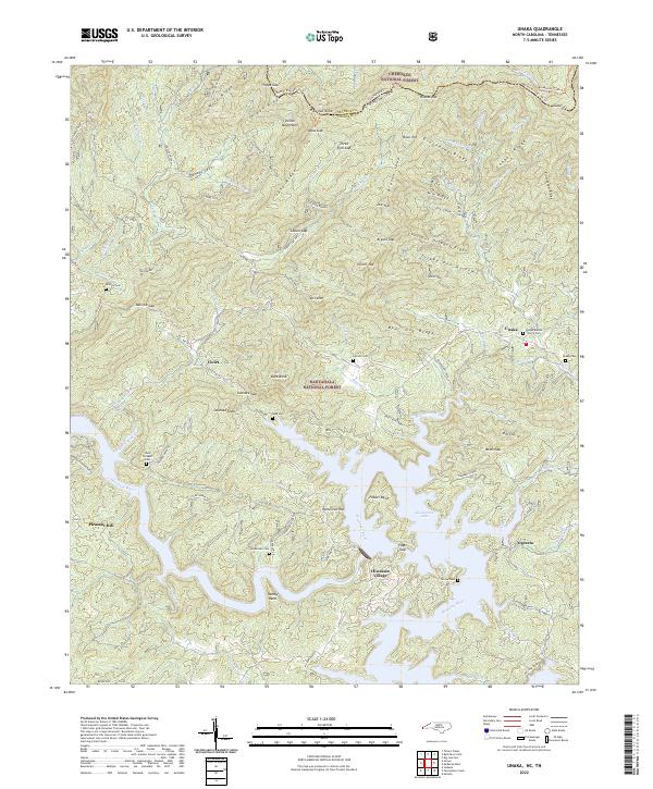 2022 Unaka2022 Print · USGSThe Tennessee and North Carolina borderlands come alive in this recent survey of the Hiwassee river valley and the surrounding national forests. Researchers can trace remote mountain settlements and family landmarks such as Lenderman Cem, Unaka Baptist Church, and Ogreeta.
 - 2022 Map of Murphy, 2022 Print
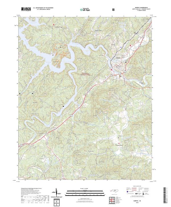 2022 Murphy2022 Print · USGSWestern North Carolina's river-valley settlements are captured here in the early 2020s, centered on the historic mountain town of Murphy. Local historians can trace family locations through numerous rural burial sites like Old Martins Creek Cem and Sunset Cem along the Hiwassee River.
 - 2022 Map of Robbinsville, 2022 Print
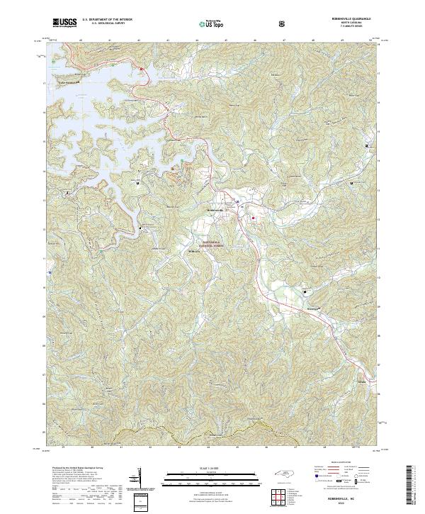 2022 Robbinsville2022 Print · USGSThe mountain town of Robbinsville is captured here in the early 2020s, showing its role as the seat of Graham County. Researchers can trace family history through several sites like the Buffalo Baptist Church Graveyard or locate landmarks such as the Joanna Tower and Massey Quarry.
 - 2022 Map of Topton, 2022 Print
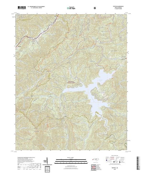 2022 Topton2022 Print · USGSThe high mountain gaps and river valleys of western North Carolina appear here in contemporary detail. Researchers can trace historic cemeteries and small settlements like Aquone and Topton, or follow the winding Bartram Trail - Nantahala Trl through the peaks.
 - 2022 Map of Andrews, 2022 Print
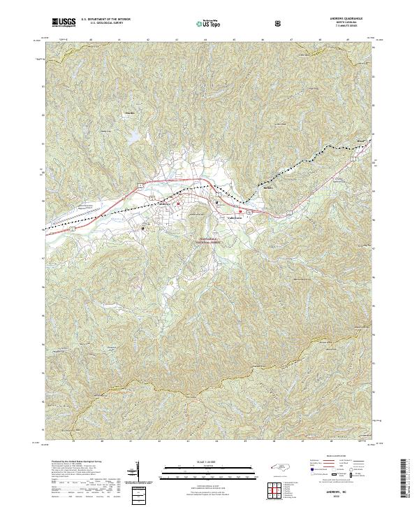 2022 Andrews2022 Print · USGSThe mountain valley of Andrews and the Valley River corridor come to life in this contemporary mapping of Cherokee County. Local historians can trace family ties at the Valley River Cemetery or locate the historic Webb Mill along the banks of Webb Creek.
 - 2022 Map of Marble, 2022 Print
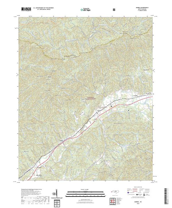 2022 Marble2022 Print · USGSCherokee County communities and the mountain ridges of the Nantahala National Forest are documented in this recent survey. Local historians can trace family roots through sites like Moss Cem, Parker Cem, and the old crossing at Sales Ford.
 - 2022 Map of Hayesville, 2022 Print
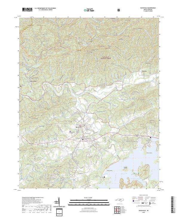 2022 Hayesville2022 Print · USGSClay County, North Carolina, shows its modern settlement patterns alongside the deep ridges of the Blue Ridge in the early 2020s. Genealogists can locate family sites near Ledford Chapel Methodist Cem or trace the remote reaches of Fires Creek and Tusquitee.
 - 2022 Map of Bald River Falls, 2022 Print
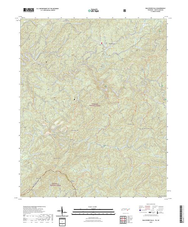 2022 Bald River Falls2022 Print · USGSThe Unicoi Mountains and the Tennessee-North Carolina borderlands are captured here in a period of modern forest management and preserved wilderness. Researchers can locate remote burial grounds like Miller Cem and trace the historic path of the Warriors Passage Trl.
 - 2022 Map of Farner, 2022 Print
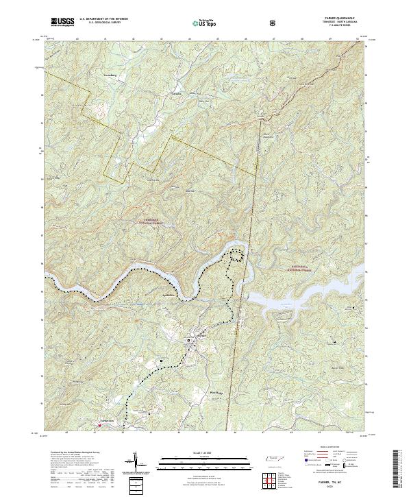 2022 Farner2022 Print · USGSThe Tennessee and North Carolina borderlands come alive in this study of the mountains surrounding Apalachia Lake. Researchers can trace family sites at New Zion Cem and Farmer Presbyterian Church or follow the old tracks through Unicoi Gap.
 - 2022 Map of Big Junction, 2022 Print
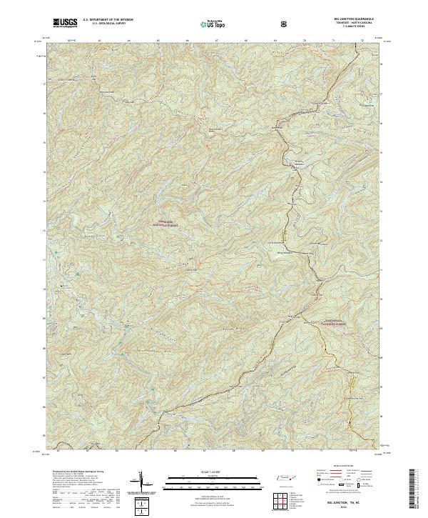 2022 Big Junction2022 Print · USGSThe Unicoi Mountains and the border between Tennessee and North Carolina are mapped here in the early twenty-first century. Genealogists and hikers can trace the Green Cove Cem and miles of remote trails near Big Junction and Haw Knob.
 - 2022 Map of Isabella, 2022 Print
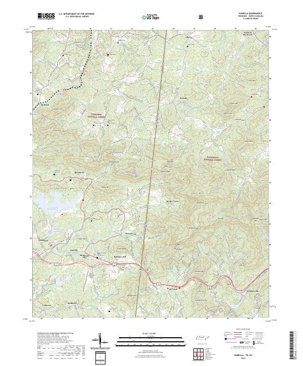 2022 Isabella2022 Print · USGSThe Tennessee and North Carolina borderlands come alive in this survey of the Copper Basin and its surrounding timberlands. Local historians can trace family roots through mountain settlements and cemeteries like Burger Town, Ducktown, and Freeland Town Cem.
 - 2022 Map of Tellico Plains, 2022 Print
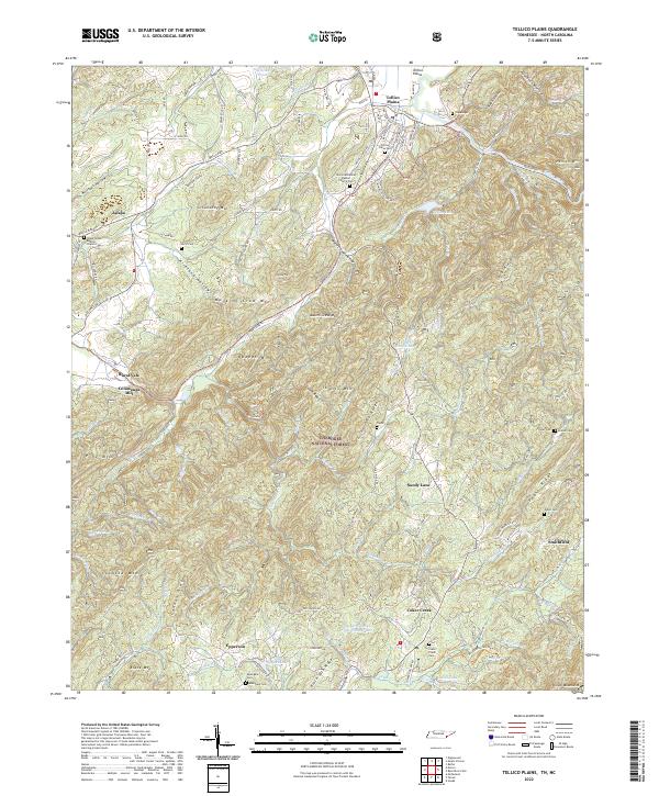 2022 Tellico Plains2022 Print · USGSThe Tennessee mountains near the North Carolina border come into focus in this recent look at Tellico Plains and the Cherokee National Forest. Genealogists and local historians can trace legacy sites like Conasauga Mill, Rural Vale, and the Tellico Plains Cemetery.
 - 2024 Map of Blairsville, 2024 Print
 2024 Blairsville2024 Print · USGSThe North Georgia mountains near the state line are shown here in the 2020s, centering on the seat of Union County. Genealogists can trace local roots at the Union County Courthouse, Old Blairsville Cem, and Old Brasstown Baptist Church.
 - 2024 Map of Nottely Dam, 2024 Print
 2024 Nottely Dam2024 Print · USGSThe North Georgia highlands meet the state line in the 2020s, where the Nottely River fills a large mountain reservoir. Local historians can trace family burial sites at Bethlehem Cem and Antioch Cem or locate the rural crossroads of Ivylog.
 - 2024 Map of Mineral Bluff, 2024 Print
 2024 Mineral Bluff2024 Print · USGSThe Tennessee-Georgia borderlands come into focus at this modern moment, where the Toccoa River and the L & N RR meet. Researchers can trace family lines through dozens of country landmarks like Union Cemetery, Bakers Ferry, and New River Baptist Church.
End of results
Showing maps 1-23 of 23
Top cities of Cherokee County
Frequently asked questions
- What are the different types of historical maps available for Cherokee County?
- What is the oldest map of Cherokee County?
- Where can I purchase historical maps of Cherokee County for my home or office?
- Where can I download high-res historical maps of Cherokee County?
- Are there historical topographic maps available for Cherokee County?
- Is there historical aerial imagery available for Cherokee County?
- Where are historical maps of Cherokee County sourced from?